Rothenberg
Located in Ebensfeld, Markt, Landkreis Lichtenfels Coordinates: 50°02′26″ N 10°58′29″ E
- Elevation
- 344 m
- above sea level
- Local time
- UTC+01:00
- Europe/Berlin · UTC+01:00
- Airports
- NUE Nuremberg Airport61 km
- ERF Erfurt-Weimar Airport104 km
About Rothenberg
Rothenberg is a mountain. Location: Ebensfeld, Markt, Landkreis Lichtenfels. Elevation: 344 m. The best months to visit are June–August. The nearest airport is Nuremberg Airport (61 km). Nearby sights include Kutzenberg and Eisenberg.
Photos of Rothenberg
-
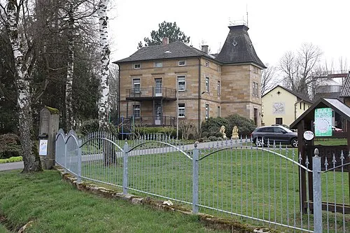
Ummersberg Störfix · CC BY-SA 3.0 de -
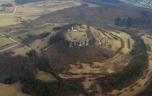
Staffelberg Presse03 at de.wikipedia · Public domain -
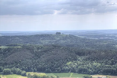
Ansberg Trollhead · CC BY-SA 3.0


Climate of Rothenberg
Best months for sightseeingBest months for sightseeing: June–August.
This month · November
A cold month
Day 6° · Night 0° · Rain 55 mm
- Hottest month
- August (day 23°)
- Coldest month
- January (night -4°)
- Wettest month
- June (75 mm)
- Driest month
- February (43 mm)
Bars: average monthly low and high temperature. Below: precipitation. Monthly averages for 1970–2000 at about 18 km resolution, adjusted for elevation. Highlighted months are mild and relatively dry. Source: WorldClim 2.1 (CC BY 4.0).
Show values as a table
| Month | Jan | Feb | Mar | Apr | May | Jun | Jul | Aug | Sep | Oct | Nov | Dec |
|---|---|---|---|---|---|---|---|---|---|---|---|---|
| Average high (°C) | 2° | 4° | 8° | 13° | 18° | 21° | 23° | 23° | 18° | 12° | 6° | 3° |
| Average low (°C) | -4° | -3° | 0° | 2° | 7° | 10° | 12° | 11° | 8° | 4° | 0° | -2° |
| Precipitation (mm) | 53 | 43 | 50 | 44 | 58 | 75 | 74 | 58 | 55 | 55 | 55 | 65 |
How to get to Rothenberg
The nearest airport is Nuremberg Airport (NUE), 61 km to the south as the crow flies. The nearest large city is Erlangen, 50 km to the south.
Airports
- Nuremberg Airport (NUE) Nuremberg 61 kmsouth
- Erfurt-Weimar Airport (ERF) Erfurt 104 kmnorth
- Karlovy Vary Airport (KLV) Karlovy Vary 140 kmeast
Nearby large cities
- Erlangen Population: 102.7K 50 kmsouth
- Fürth Population: 132K 63 kmsouth
- Nuremberg Population: 515.5K 66 kmsouth
- Würzburg Population: 133.7K 78 kmwest
- Erfurt Population: 218.8K 104 kmnorth
Straight-line distances; road distances are longer. Airport data: OurAirports.
Day trips from Rothenberg
Within 100 km: 1,209 historic and cultural sites, 4,644 natural sites, 868 lakes, rivers and coasts.
0–25 km736 places
- Waldstadion Weismain Landmark 20 kmE
- Mönchsweiher Lake 15 kmSW
- Brückenhaussee Lake 11 kmSW
- Dornig Mountain 5 kmNE
25–60 km2,137 places
- Badsee Lake 42 kmW
- Wolfsee Lake 60 kmSW
- Welles Weiher Lake 48 kmS
- Unterer Herrnsee Lake 33 kmS
60–100 km3,848 places
- Spitzelberg Mountain 63 kmSE
- Stollenberg Mountain 64 kmSE
- Deckersberg Mountain 71 kmSE
- Uzbach River 80 kmSW
Straight-line distances.
Nearest towns and villages
-
 Oberleiterbach Village, Zapfendorf, Markt0.9 km S
-
 Zapfendorf, Markt Village, Landkreis Bamberg4 km SW
-
Ebensfeld Town, Ebensfeld, Markt3.1 km N
-
Kutzenberg Village, Ebensfeld, Markt1.2 km N
-
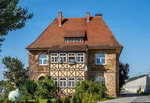 Zapfendorf Town, Zapfendorf, Markt3.9 km SW
-
 Oberoberndorf Village, Zapfendorf, Markt3.3 km S
Nearby attractions & nature
Everything nearby-
Kutzenberg Mountain, Ebensfeld, Markt1 km N
-
Eisenberg Mountain, Zapfendorf, Markt1.2 km SE
-
Renner Mountain, Zapfendorf, Markt1.7 km SW
-
Kümmelbach River, Ebensfeld, Markt1.7 km E
-
Steinberg Mountain, Zapfendorf, Markt2.2 km SW
-
Zobelberg Mountain, Ebensfeld, Markt2.3 km N
-
Ansberg Mountain, Ebensfeld, Markt3.2 km NE
-
Reutersknock Mountain, Zapfendorf, Markt2.6 km SW
More nature in Germany
-
Ummersberg Mountain, Ebensfeld, Markt7.4 km NW
-
Grobe Leite Mountain, Ebensfeld, Markt3.4 km E
-
Oberbrunner Turmhügel Mountain, Ebensfeld, Markt3.7 km NW
-
Burgstall Mountain, Ebensfeld, Markt4.1 km NE
-
Possenberg Mountain, Ebensfeld, Markt4.2 km E
-
Poppenberg Mountain, Ebensfeld, Markt7.1 km NW
Sources & licences
Data last updated: