Burig
Located in Gosen-Neu Zittau, Landkreis Oder-Spree Coordinates: 52°23′01″ N 13°46′01″ E
- Elevation
- 37 m
- above sea level
- Local time
- UTC+01:00
- Europe/Berlin · UTC+01:00
- Airports
- BER Berlin Brandenburg Airport18 km
- DRS Dresden Airport139 km
About Burig
Burig is a village. Location: Gosen-Neu Zittau, Landkreis Oder-Spree. Elevation: 37 m. The best months to visit are June–August. The nearest airport is Berlin Brandenburg Airport (18 km). Nearby sights include Kesselberg and Wernsdorfer See.
Photos of Burig
-
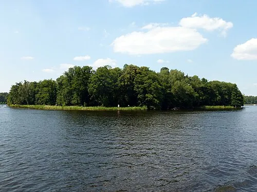
Seddinwall Fridolin freudenfett · CC BY-SA 3.0 -
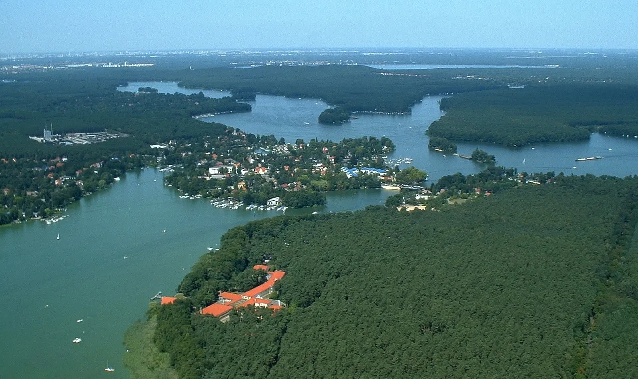
Schmöckwitzer Werder Matthias Renner · CC BY-SA 3.0 -
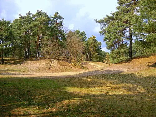
Püttberge Erstbesinns · CC0


Climate of Burig
Best months for sightseeingBest months for sightseeing: June–August.
This month · November
A cold month
Day 7° · Night 2° · Rain 42 mm
- Hottest month
- July (day 23°)
- Coldest month
- January (night -3°)
- Wettest month
- July (68 mm)
- Driest month
- April (33 mm)
Bars: average monthly low and high temperature. Below: precipitation. Monthly averages for 1970–2000 at about 18 km resolution, adjusted for elevation. Highlighted months are mild and relatively dry. Source: WorldClim 2.1 (CC BY 4.0).
Show values as a table
| Month | Jan | Feb | Mar | Apr | May | Jun | Jul | Aug | Sep | Oct | Nov | Dec |
|---|---|---|---|---|---|---|---|---|---|---|---|---|
| Average high (°C) | 3° | 4° | 8° | 13° | 19° | 22° | 23° | 23° | 18° | 13° | 7° | 4° |
| Average low (°C) | -3° | -2° | 1° | 4° | 8° | 12° | 13° | 13° | 10° | 6° | 2° | -1° |
| Precipitation (mm) | 42 | 34 | 39 | 33 | 56 | 56 | 68 | 59 | 45 | 37 | 42 | 49 |
How to get to Burig
The nearest airport is Berlin Brandenburg Airport (BER), 18 km to the west as the crow flies. The nearest large city is Berlin, 29 km to the northwest.
Airports
- Berlin Brandenburg Airport (BER) Berlin 18 kmwest
- Dresden Airport (DRS) Dresden 139 kmsouth
- Zielona Góra-Babimost Airport (IEG) Nowe Kramsko 141 kmeast
Nearby large cities
- Berlin Population: 3.4M 29 kmnorthwest
- Potsdam Population: 184.8K 48 kmwest
- Magdeburg Population: 244.3K 148 kmwest
- Dresden Population: 564.9K 148 kmsouth
- Leipzig Population: 505K 151 kmsouthwest
Straight-line distances; road distances are longer. Airport data: OurAirports.
Day trips from Burig
Within 100 km: 463 historic and cultural sites, 1,492 natural sites, 1,345 lakes, rivers and coasts.
0–25 km258 places
- Dahme River River 15 kmNW
- Steigsee Lake 24 kmNE
- Ziestsee Lake 13 kmS
- Ziestsee Lake 17 kmS
25–60 km1,412 places
- Schlachtensee Lake 38 kmW
- Valentinswerder Island 41 kmNW
- Scharfenberg Island 41 kmNW
- Freibad Tegelsee Beach 42 kmNW
60–100 km1,630 places
- Lutzke River 74 kmSE
- Strandbad Beach 72 kmN
- Mittelbruch Island 81 kmW
- Buhnenwerder Island 88 kmW
Straight-line distances.
Nearby attractions & nature
Everything nearby-
Kesselberg Mountain, Gosen-Neu Zittau2.3 km W
-
Wernsdorfer See Lake, Germany3.5 km W
-
Kappstrom River, Brandenburg3.6 km W
-
Forst Erkner Natural site, Brandenburg4.5 km E
-
Triebschsee Lake, Brandenburg4.4 km SE
-
Karutzsee Lake, Erkner3.1 km N
Sources & licences
Data last updated: