Schwarzer Berg
Located in Beetzsee, Landkreis Potsdam-Mittelmark Coordinates: 52°29′06″ N 12°31′47″ E
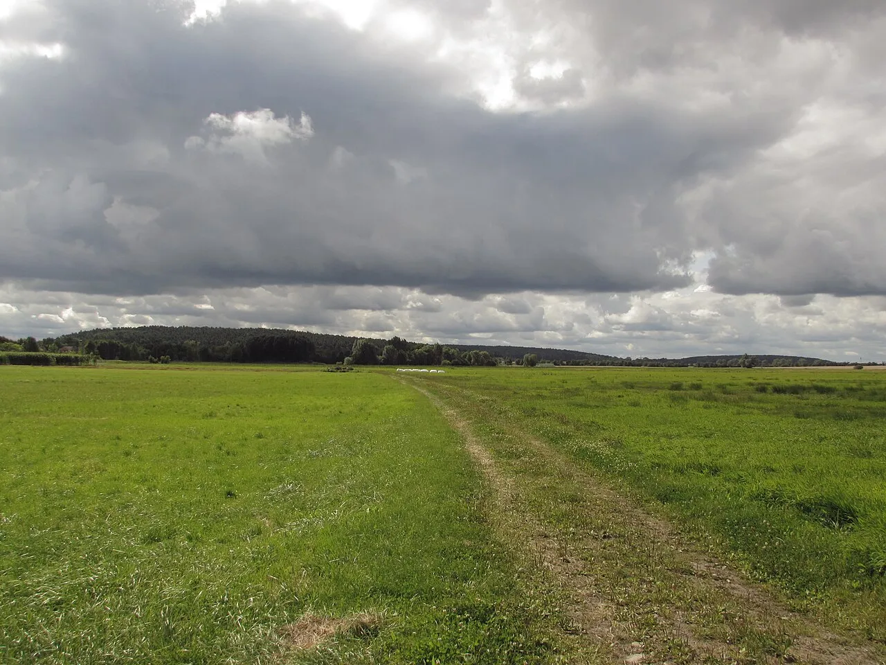
- Elevation
- 92 m
- above sea level
- Local time
- UTC+01:00
- Europe/Berlin · UTC+01:00
- Airports
- BER Berlin Brandenburg Airport68 km
- LEJ Leipzig/Halle Airport120 km
About Schwarzer Berg
Schwarzer Berg is a mountain. Location: Beetzsee, Landkreis Potsdam-Mittelmark. Elevation: 92 m. The best months to visit are June–August. The nearest airport is Berlin Brandenburg Airport (68 km). Nearby sights include Radeweger Wald and Eich-Berg.
At a glance
- Heritage designation
- Kulturdenkmal
Source: Wikidata
Climate of Schwarzer Berg
Best months for sightseeingBest months for sightseeing: June–August.
This month · November
A cold month
Day 7° · Night 2° · Rain 43 mm
- Hottest month
- July (day 24°)
- Coldest month
- January (night -3°)
- Wettest month
- June (64 mm)
- Driest month
- February (35 mm)
Bars: average monthly low and high temperature. Below: precipitation. Monthly averages for 1970–2000 at about 18 km resolution, adjusted for elevation. Highlighted months are mild and relatively dry. Source: WorldClim 2.1 (CC BY 4.0).
Show values as a table
| Month | Jan | Feb | Mar | Apr | May | Jun | Jul | Aug | Sep | Oct | Nov | Dec |
|---|---|---|---|---|---|---|---|---|---|---|---|---|
| Average high (°C) | 3° | 4° | 8° | 13° | 19° | 22° | 24° | 23° | 18° | 13° | 7° | 4° |
| Average low (°C) | -3° | -2° | 0° | 3° | 8° | 11° | 13° | 13° | 9° | 5° | 2° | -1° |
| Precipitation (mm) | 40 | 35 | 42 | 37 | 53 | 64 | 55 | 53 | 45 | 39 | 43 | 49 |
How to get to Schwarzer Berg
The nearest airport is Berlin Brandenburg Airport (BER), 68 km to the east as the crow flies. The nearest large city is Potsdam, 38 km to the east.
Airports
- Berlin Brandenburg Airport (BER) Berlin 68 kmeast
- Leipzig/Halle Airport (LEJ) Schkeuditz 120 kmsouth
- Rostock-Laage Airport (RLG) Laage 160 kmnorth
Nearby large cities
- Potsdam Population: 184.8K 38 kmeast
- Berlin Population: 3.4M 60 kmeast
- Magdeburg Population: 244.3K 73 kmsouthwest
- Halle Population: 237.9K 118 kmsouth
- Wolfsburg Population: 123.1K 119 kmwest
Straight-line distances; road distances are longer. Airport data: OurAirports.
Day trips from Schwarzer Berg
Within 100 km: 599 historic and cultural sites, 1,987 natural sites, 1,290 lakes, rivers and coasts.
0–25 km348 places
- Mittelbruch Island 8 kmSE
- Buhnenwerder Island 11 kmS
- Magazininsel Island 19 kmNW
- Köhninge Island 11 kmSE
25–60 km1,125 places
- Schlachtensee Lake 47 kmE
- Valentinswerder Island 49 kmE
- Scharfenberg Island 49 kmE
- Freibad Tegelsee Beach 50 kmE
60–100 km2,403 places
- Sarre River 96 kmSW
- Ehle River 64 kmSW
- Ehle River 94 kmSW
- Dahme River River 71 kmE
Straight-line distances.
Nearest towns and villages
-
Radewege Siedlung Neighbourhood, Beetzsee1.2 km SE
-
Havelsee Village, Landkreis Potsdam-Mittelmark4.4 km W
-
 Brielow Village, Beetzsee2.4 km S
-
Brandenburg an der Havel Village, Kreisfreie Stadt Brandenburg an der Havel7.4 km S
-
 Hohenferchesar Village, Havelsee2.5 km NW
-
Beetzseeheide Village, Landkreis Potsdam-Mittelmark5.7 km E
Nearby attractions & nature
Everything nearby-
Radeweger Wald Natural site, Brandenburg0.6 km SE
-
Eich-Berg Mountain, Havelsee1.7 km N
-
Gallberg Mountain, Havelsee1.8 km W
-
Eichberg Mountain, Beetzsee1.8 km NE
-
Mühlen-Berg Mountain, Beetzsee2.2 km NE
-
Fichtenberg Mountain, Beetzsee2.8 km NE
-
Mühlenberg Mountain, Havelsee2.6 km NE
-
Rabenberg Mountain, Havelsee3.1 km NE
Sources & licences
Data last updated: · 2 independent sources