Pauliner Marsch
Located in Free Hanseatic City of Bremen, Germany Coordinates: 53°03′41″ N 8°50′53″ E
- Elevation
- 5 m
- above sea level
- Local time
- UTC+01:00
- Europe/Berlin · UTC+01:00
- Airports
- BRE Bremen Airport4 km
- FCN Sea-Airport Cuxhaven/Nordholz / Nordholz Naval Airbase80 km
About Pauliner Marsch
Pauliner Marsch is a natural site. Location: Free Hanseatic City of Bremen, Germany. The best months to visit are June–August. The nearest airport is Bremen Airport (4 km). Nearby sights include Stadtwerder and Jakobsberg.
Photos of Pauliner Marsch
-
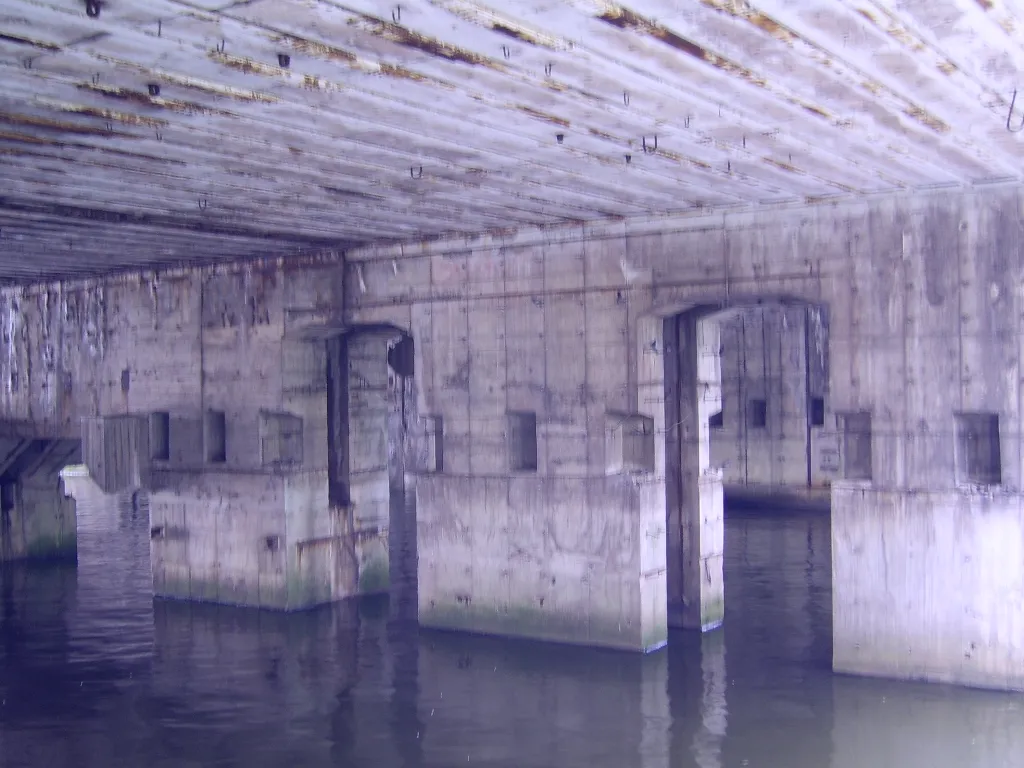
Bremen-Neuenland Concentration Camp (Hornisse) User:Beroesz · CC BY-SA 4.0 -
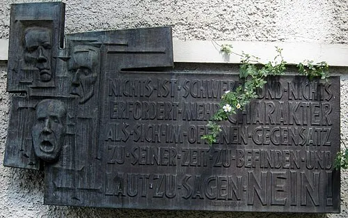
Early Camp Bremen-Mißler Arnold Plesse · CC BY-SA 3.0 -
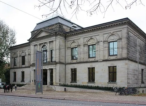
Kunsthalle Bremen Dguendel · CC BY 4.0


Climate of Pauliner Marsch
Best months for sightseeingBest months for sightseeing: June–August.
This month · November
A cold month
Day 8° · Night 2° · Rain 59 mm
- Hottest month
- August (day 22°)
- Coldest month
- February (night -1°)
- Wettest month
- June (73 mm)
- Driest month
- February (39 mm)
Bars: average monthly low and high temperature. Below: precipitation. Monthly averages for 1970–2000 at about 18 km resolution, adjusted for elevation. Highlighted months are mild and relatively dry. Source: WorldClim 2.1 (CC BY 4.0).
Show values as a table
| Month | Jan | Feb | Mar | Apr | May | Jun | Jul | Aug | Sep | Oct | Nov | Dec |
|---|---|---|---|---|---|---|---|---|---|---|---|---|
| Average high (°C) | 4° | 5° | 8° | 12° | 18° | 20° | 22° | 22° | 18° | 13° | 8° | 5° |
| Average low (°C) | -1° | -1° | 1° | 3° | 7° | 10° | 12° | 12° | 9° | 6° | 2° | 0° |
| Precipitation (mm) | 56 | 39 | 52 | 43 | 53 | 73 | 69 | 62 | 61 | 59 | 59 | 63 |
How to get to Pauliner Marsch
The nearest airport is Bremen Airport (BRE), 4 km to the southwest as the crow flies. The nearest large city is Bremen, 3 km to the northwest.
Airports
- Bremen Airport (BRE) Bremen 4 kmsouthwest
- Sea-Airport Cuxhaven/Nordholz / Nordholz Naval Airbase (FCN) Wurster Nordseeküste 80 kmnorth
- Hannover Airport (HAJ) Hannover 87 kmsoutheast
Nearby large cities
- Bremen Population: 546.5K 3 kmnorthwest
- Oldenburg Population: 159.2K 43 kmwest
- Bremerhaven Population: 118.6K 58 kmnorth
- Hanover Population: 515.1K 97 kmsoutheast
- Osnabrück Population: 166.5K 103 kmsouthwest
Straight-line distances; road distances are longer. Airport data: OurAirports.
Day trips from Pauliner Marsch
Within 100 km: 351 historic and cultural sites, 1,886 natural sites, 883 lakes, rivers and coasts.
0–25 km165 places
- Pastorensee Lake 23 kmE
- Kirchweyher See Lake 8 kmS
- Große Brake Lake 17 kmNW
- Breites Wasser Lake 19 kmN
25–60 km907 places
- Warnau River 56 kmE
- Harrier Sand Island 36 kmNW
- Elsflether Sand Island 31 kmNW
- Zwischenahner Meer Lake 58 kmW
60–100 km2,048 places
- Sundern Natural site 65 kmSE
- Leine River 63 kmSE
- Friesenstrand Beach 70 kmNW
- Rhinplate Island 88 kmNE
Straight-line distances.
Nearest towns and villages
-
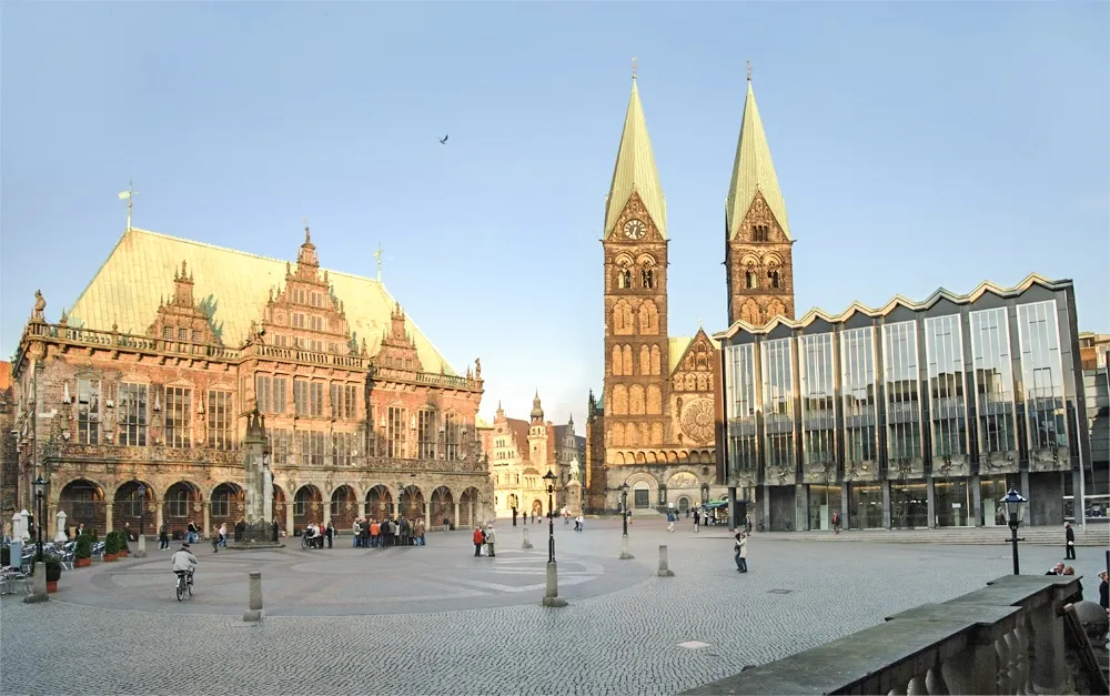 Bremen City, Bremen3.2 km NW
-
Hastedt Neighbourhood, Bremen0.9 km E
-
 Östliche Vorstadt Neighbourhood, Bremen1.5 km NW
-
Habenhausen Village, Bremen1.9 km S
-
Ostertor Neighbourhood, Bremen2.3 km NW
-
 Schwachhausen Neighbourhood, Bremen2.8 km N
Nearby attractions & nature
Everything nearby-
Stadtwerder Natural site, Free Hanseatic City of Bremen0.8 km W
-
Jakobsberg Mountain, Bremen1.4 km NE
-
Krimpelsee Lake, Bremen2.1 km S
-
Korbinsel Natural site, Weyhe2.9 km S
-
Hemelinger See Lake, Bremen2.7 km SE
-
Kunsthalle Bremen Museum, Bremen2.6 km NW
-
Bürgerpark Natural site, Bremen3.9 km N
-
Kleine Weser River, Free Hanseatic City of Bremen3.9 km NW
Sources & licences
Data last updated: