- Elevation
- 701 m
- above sea level
- Local time
- UTC+01:00
- Europe/Berlin · UTC+01:00
- Airports
- FRA Frankfurt Main Airport25 km
- MHG Mannheim-City Airport85 km
About Weilsberg
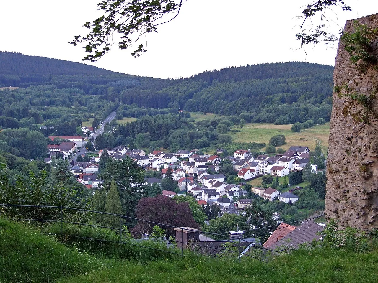
Weilsberg is a mountain. Location: Schmitten, Hochtaunuskreis. Elevation: 701 m.
Weilsberg is a mountain of Hesse, Germany. it is the fourth highest mountain of the Taunus and the highest one of the Eastern Hintertaunus.
Source: Wikipedia · CC BY-SA 4.0
At a glance
- Topographic prominence
- 36 m
Source: Wikidata
Photos of Weilsberg
-

X-angel · CC BY-SA 4.0 -

Karsten Ratzke · CC0 -

Johannes Robalotoff · CC BY-SA 3.0 de -

X-angel · CC BY-SA 4.0 -

Karsten11 · Public domain


Climate of Weilsberg
Best months for sightseeingBest months for sightseeing: June–August.
This month · November
A cold month
Day 4° · Night 0° · Rain 76 mm
- Hottest month
- July (day 20°)
- Coldest month
- February (night -4°)
- Wettest month
- December (88 mm)
- Driest month
- February (60 mm)
Bars: average monthly low and high temperature. Below: precipitation. Monthly averages for 1970–2000 at about 18 km resolution, adjusted for elevation. Highlighted months are mild and relatively dry. Source: WorldClim 2.1 (CC BY 4.0).
Show values as a table
| Month | Jan | Feb | Mar | Apr | May | Jun | Jul | Aug | Sep | Oct | Nov | Dec |
|---|---|---|---|---|---|---|---|---|---|---|---|---|
| Average high (°C) | 1° | 2° | 6° | 10° | 15° | 18° | 20° | 20° | 15° | 10° | 4° | 2° |
| Average low (°C) | -4° | -4° | -1° | 2° | 6° | 9° | 11° | 11° | 7° | 4° | 0° | -2° |
| Precipitation (mm) | 75 | 60 | 71 | 60 | 73 | 76 | 80 | 60 | 69 | 75 | 76 | 88 |
How to get to Weilsberg
The nearest airport is Frankfurt Main Airport (FRA), 25 km to the south as the crow flies. The nearest large city is Wiesbaden, 21 km to the southwest.
Airports
- Frankfurt Main Airport (FRA) Frankfurt am Main 25 kmsouth
- Mannheim-City Airport (MHG) Mannheim 85 kmsouth
- Frankfurt-Hahn Airport (HHN) Frankfurt am Main (Lautzenhausen) 89 kmwest
Nearby large cities
- Wiesbaden Population: 288.8K 21 kmsouthwest
- Frankfurt am Main Population: 650K 22 kmsoutheast
- Offenbach Population: 119.2K 28 kmsoutheast
- Mainz Population: 222.9K 30 kmsouth
- Darmstadt Population: 167K 43 kmsouth
Straight-line distances; road distances are longer. Airport data: OurAirports.
Day trips from Weilsberg
Within 100 km: 915 historic and cultural sites, 4,463 natural sites, 797 lakes, rivers and coasts.
0–25 km444 places
- Hattsteinweiher Lake 14 kmNE
- Zeilsberg Mountain 15 kmS
- Wolfsküppel Mountain 8 kmN
- Wellenberg Mountain 17 kmNE
25–60 km1,703 places
- Modau River 46 kmS
- Lumda River 50 kmN
- Aar River 34 kmNW
- Rüdesheimer Aue Island 45 kmSW
60–100 km4,028 places
- Elsenz River 97 kmS
- Weibe River 82 kmNW
- Ohe River 65 kmN
- Felda River 68 kmNE
Straight-line distances.
Nearest towns and villages
-
Oberems Village, Glashütten1.9 km W
-
Glashütten Village, Hochtaunuskreis2.7 km SW
-
Glashütten Town, Glashütten2.7 km SW
-
Schmitten Town, Schmitten4.2 km N
-
Niederreifenberg Village, Schmitten1.4 km N
-
Oberreifenberg Village, Schmitten1.4 km N
Nearby attractions & nature
Everything nearby-
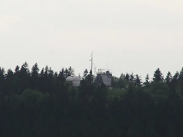 Kleiner Feldberg Mountain, Glashütten1.6 km SE
-
 Glaskopf Mountain, Glashütten1.7 km SW
-
Hühnerberg Mountain, Schmitten1.6 km NW
-
Großer Feldberg Mountain, Schmitten2 km E
-
Sängelberg Mountain, Schmitten2.5 km N
-
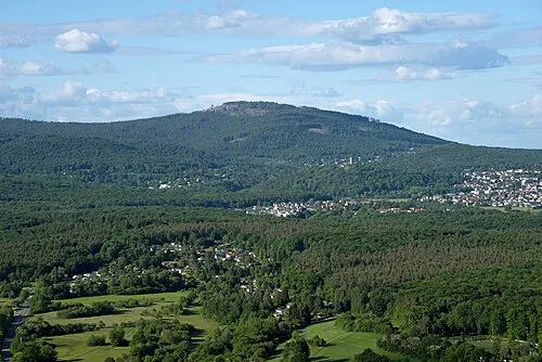 Altkönig Mountain, Kronberg4.3 km SE
-
Krimmelberg Mountain, Schmitten3.5 km NE
-
Judenkopf Mountain, Schmitten3.9 km N
More nature in Germany
-
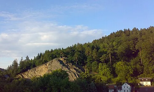 Schellenberg Mountain, Schmitten4.8 km N
-
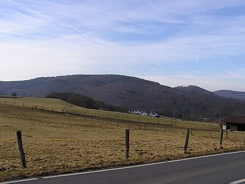 Pferdskopf Mountain, Schmitten6.5 km N
-
Weißer Berg Mountain, Schmitten4.5 km NE
-
Feldkopf Mountain, Schmitten4.6 km N
-
Großer Eichwald Mountain, Schmitten4.8 km NE
-
Pfaffenrod Mountain, Schmitten3.4 km N
Sources & licences
Data last updated: · 2 independent sources