Neunkircher Höhe
Located in Lautertal, Landkreis Bergstraße Coordinates: 49°43′09″ N 8°46′13″ E
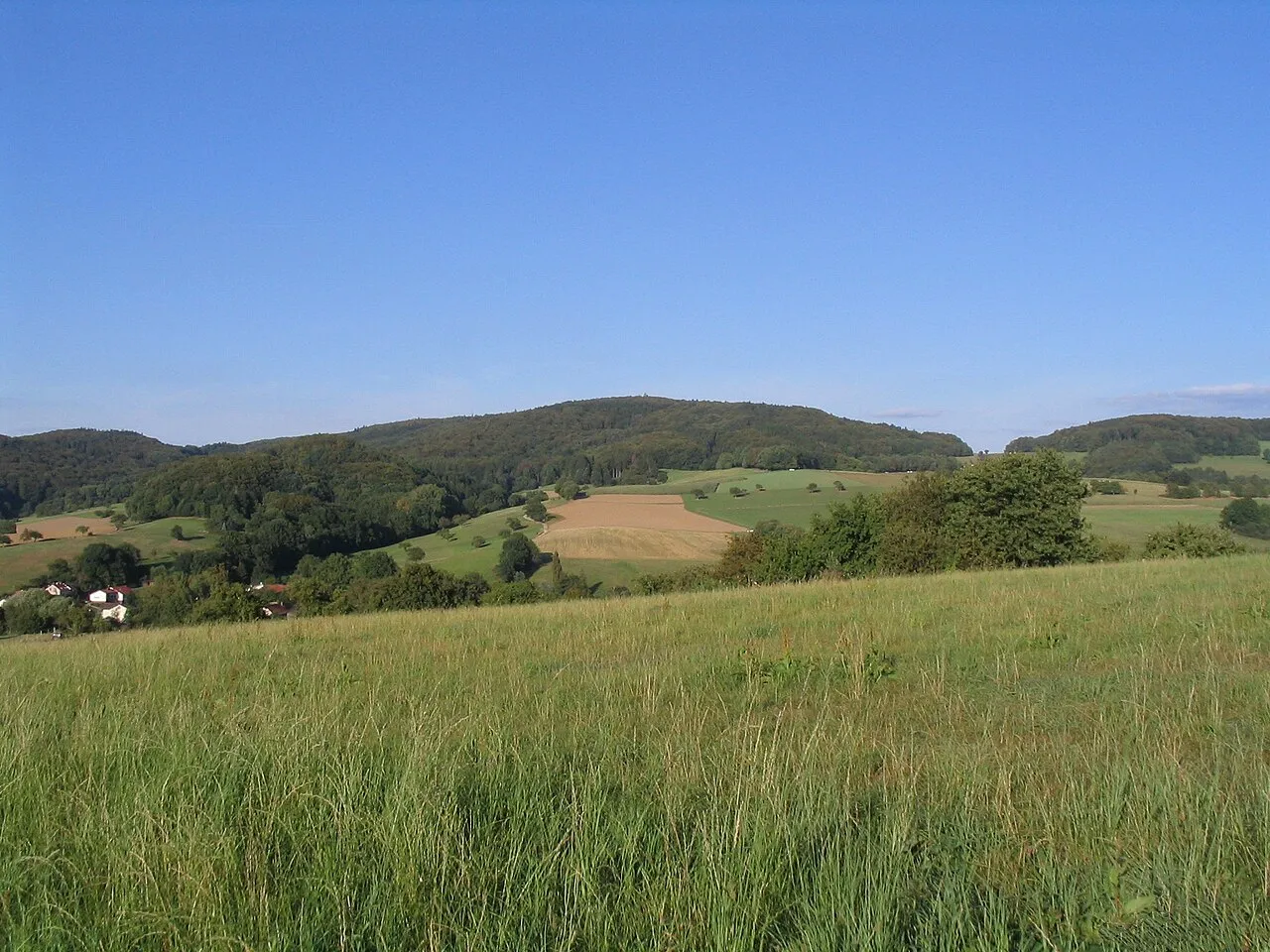
- Elevation
- 605 m
- above sea level
- Local time
- UTC+01:00
- Europe/Berlin · UTC+01:00
- Airports
- MHG Mannheim-City Airport33 km
- FRA Frankfurt Main Airport37 km
About Neunkircher Höhe
Neunkircher Höhe is a mountain. Location: Lautertal, Landkreis Bergstraße. Elevation: 605 m.
The Neunkircher Höhe (605 metres) is the highest elevation of the Hessian part of the Odenwald. The hill is located near the village Neunkirchen and is the origin of the rivers Modau, Gersprenz and Lauter. A viewing tower, 34 metres high, was built on the summit in 1906 and replaced an older predecessor, which had been built in 1888 and destroyed by a storm in 1904.
Source: Wikipedia · CC BY-SA 4.0
At a glance
- Topographic prominence
- 332 m
Source: Wikidata
Photos of Neunkircher Höhe
-

Freak-Line-Community · CC BY 4.0 -

Muck · CC BY-SA 4.0 -

Muck · CC BY-SA 4.0 -

GSHD2023 · CC BY-SA 4.0 -

GSHD2023 · CC BY-SA 4.0


Climate of Neunkircher Höhe
Best months for sightseeingBest months for sightseeing: June–August.
This month · November
A cold month
Day 5° · Night 0° · Rain 82 mm
- Hottest month
- August (day 21°)
- Coldest month
- January (night -4°)
- Wettest month
- December (95 mm)
- Driest month
- April (62 mm)
Bars: average monthly low and high temperature. Below: precipitation. Monthly averages for 1970–2000 at about 18 km resolution, adjusted for elevation. Highlighted months are mild and relatively dry. Source: WorldClim 2.1 (CC BY 4.0).
Show values as a table
| Month | Jan | Feb | Mar | Apr | May | Jun | Jul | Aug | Sep | Oct | Nov | Dec |
|---|---|---|---|---|---|---|---|---|---|---|---|---|
| Average high (°C) | 1° | 3° | 7° | 11° | 16° | 19° | 21° | 21° | 16° | 11° | 5° | 2° |
| Average low (°C) | -4° | -4° | -1° | 2° | 6° | 9° | 11° | 11° | 8° | 4° | 0° | -2° |
| Precipitation (mm) | 81 | 67 | 79 | 62 | 81 | 81 | 93 | 66 | 74 | 82 | 82 | 95 |
How to get to Neunkircher Höhe
The nearest airport is Mannheim-City Airport (MHG), 33 km to the southwest as the crow flies. For international flights: Frankfurt Main Airport (FRA) (37 km). The nearest large city is Darmstadt, 19 km to the northwest.
Airports
- Mannheim-City Airport (MHG) Mannheim 33 kmsouthwest
- Frankfurt Main Airport (FRA) Frankfurt am Main 37 kmnorthwest
- Frankfurt-Hahn Airport (HHN) Frankfurt am Main (Lautzenhausen) 111 kmwest
Nearby large cities
- Darmstadt Population: 167K 19 kmnorthwest
- Mannheim Population: 308K 34 kmsouthwest
- Heidelberg Population: 143.3K 35 kmsouth
- Ludwigshafen am Rhein Population: 163.2K 35 kmsouthwest
- Offenbach Population: 119.2K 42 kmnorth
Straight-line distances; road distances are longer. Airport data: OurAirports.
Day trips from Neunkircher Höhe
Within 100 km: 1,120 historic and cultural sites, 3,937 natural sites, 831 lakes, rivers and coasts.
0–25 km344 places
- Modau River 24 kmNW
- Große Woog Lake 18 kmNW
- Marbachstausee Lake 19 kmSE
- Zellerkopf Mountain 16 kmE
25–60 km1,579 places
- Elsenz River 36 kmS
- Petersaue Island 50 kmNW
- Mariannenaue Island 59 kmNW
- Königsklinger Aue Island 57 kmNW
60–100 km3,965 places
- Hessental Concentration Camp Historic site 100 kmSE
- Umpfer River 72 kmE
- Aar River 91 kmNW
- Rüdesheimer Aue Island 66 kmNW
Straight-line distances.
Nearest towns and villages
-
Lützelbach Town, Modautal2.6 km N
-
Lindenfels Village, Landkreis Bergstraße3.9 km S
-
Modautal Village, Landkreis Darmstadt-Dieburg4 km NW
-
Lindenfels Town, Lindenfels4 km S
-
Kolmbach Village, Lindenfels1.3 km SW
-
Reichelsheim Town, Reichelsheim (Odenwald)5 km E
Nearby attractions & nature
Everything nearby-
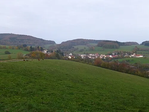 Raupenstein Mountain, Lindenfels0.9 km S
-
Westergiebel Mountain, Modautal1.1 km N
-
Eckberg Mountain, Lautertal1 km W
-
Gehrenstein Mountain, Lautertal1.1 km NW
-
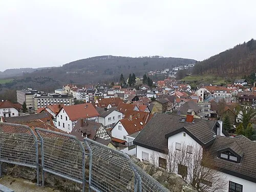 Das Buch Mountain, Lindenfels2.5 km S
-
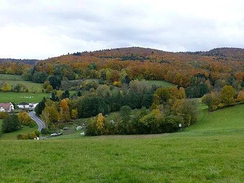 Steinkopf Mountain, Fischbachtal2.7 km N
-
Streilerberg Mountain, Modautal3 km N
-
Hahlkopf Mountain, Fischbachtal3.8 km NE
More nature in Germany
-
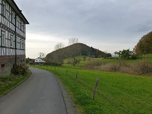 Knodener Kopf Mountain, Lautertal5 km SW
-
Knorz Mountain, Lautertal4 km W
-
Köppel Mountain, Lautertal4.5 km SW
-
Katzenstein Mountain, Lautertal3.6 km W
-
Hohberg Mountain, Lautertal6.4 km W
-
Zehnes Mountain, Lautertal4.8 km W
Sources & licences
Data last updated: · 2 independent sources