- Elevation
- 257 m
- above sea level
- Local time
- UTC+01:00
- Europe/Berlin · UTC+01:00
- Airports
- FRA Frankfurt Main Airport39 km
- MHG Mannheim-City Airport43 km
About Wallbach
Wallbach is a village. Location: Brensbach, Odenwaldkreis. Elevation: 257 m. The best months to visit are June–August. The nearest airport is Frankfurt Main Airport (39 km). Nearby sights include Hermesberg and Ballerts.
At a glance
- Area
- 3.5 km²
Source: Wikidata
Photos of Wallbach
-
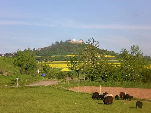
Otzberg No machine-readable author provided. ThomasPusch assumed · CC BY-SA 3.0 -
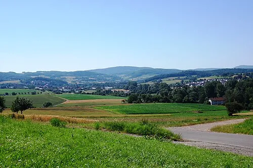
Morsberg Brühl · Public domain -
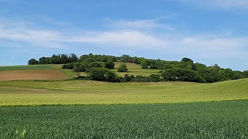
Forstberg Dvetter · CC BY-SA 4.0


Climate of Wallbach
Best months for sightseeingBest months for sightseeing: June–August.
This month · November
A cold month
Day 7° · Night 2° · Rain 83 mm
- Hottest month
- July (day 23°)
- Coldest month
- January (night -2°)
- Wettest month
- December (101 mm)
- Driest month
- April (61 mm)
Bars: average monthly low and high temperature. Below: precipitation. Monthly averages for 1970–2000 at about 18 km resolution, adjusted for elevation. Highlighted months are mild and relatively dry. Source: WorldClim 2.1 (CC BY 4.0).
Show values as a table
| Month | Jan | Feb | Mar | Apr | May | Jun | Jul | Aug | Sep | Oct | Nov | Dec |
|---|---|---|---|---|---|---|---|---|---|---|---|---|
| Average high (°C) | 3° | 5° | 9° | 13° | 18° | 21° | 23° | 23° | 19° | 13° | 7° | 4° |
| Average low (°C) | -2° | -2° | 1° | 4° | 8° | 11° | 13° | 13° | 9° | 6° | 2° | 0° |
| Precipitation (mm) | 85 | 71 | 80 | 61 | 77 | 80 | 88 | 64 | 73 | 83 | 83 | 101 |
How to get to Wallbach
The nearest airport is Frankfurt Main Airport (FRA), 39 km to the northwest as the crow flies. The nearest large city is Darmstadt, 22 km to the northwest.
Airports
- Frankfurt Main Airport (FRA) Frankfurt am Main 39 kmnorthwest
- Mannheim-City Airport (MHG) Mannheim 43 kmsouthwest
- Frankfurt-Hahn Airport (HHN) Frankfurt am Main (Lautzenhausen) 120 kmwest
Nearby large cities
- Darmstadt Population: 167K 22 kmnorthwest
- Offenbach Population: 119.2K 39 kmnorth
- Frankfurt am Main Population: 650K 43 kmnorth
- Heidelberg Population: 143.3K 43 kmsouth
- Mannheim Population: 308K 44 kmsouthwest
Straight-line distances; road distances are longer. Airport data: OurAirports.
Day trips from Wallbach
Within 100 km: 1,189 historic and cultural sites, 3,872 natural sites, 842 lakes, rivers and coasts.
0–25 km356 places
- Große Woog Lake 21 kmNW
- Marbachstausee Lake 17 kmS
- Zellerkopf Mountain 9 kmSE
- Winkelberg Mountain 22 kmSE
25–60 km1,571 places
- Elsenz River 42 kmS
- Modau River 33 kmW
- Petersaue Island 55 kmNW
- Friesenheimer Insel Island 43 kmSW
60–100 km3,976 places
- Hessental Concentration Camp Historic site 96 kmSE
- Umpfer River 64 kmE
- Uzbach River 94 kmE
- Lumda River 99 kmN
Straight-line distances.
Nearby attractions & nature
Everything nearby-
Hermesberg Mountain, Brensbach2.3 km N
-
Ballerts Mountain, Brombachtal2.1 km SE
-
Schnellerts Mountain, Brensbach2.7 km SW
-
Schludroff Mountain, Brensbach2.3 km N
-
Müllert Mountain, Brombachtal3.1 km SE
-
Kirchberg Mountain, Brombachtal3.1 km SE
Other cities and towns in Brensbach
-
 Wersau Village, Brensbach3.8 km NW
-
Höllerbach Village, Brensbach1.9 km NW
-
Nieder-Kainsbach Village, Brensbach2.3 km SW
-
Unter Gersprenz Village, Brensbach2.5 km SW
Sources & licences
Data last updated: · 2 independent sources