- Elevation
- 350 m
- above sea level
- Local time
- UTC+01:00
- Europe/Berlin · UTC+01:00
- Airports
- FRA Frankfurt Main Airport47 km
- HHN Frankfurt-Hahn Airport106 km
About Griedelbach
Griedelbach is a neighbourhood. Location: Waldsolms, Lahn-Dill-Kreis. The best months to visit are June–August. The nearest airport is Frankfurt Main Airport (47 km). Nearby sights include Köhlerberg and Höchstbaum.
At a glance
- Area
- 5.7 km²
Source: Wikidata
Photos of Griedelbach
-
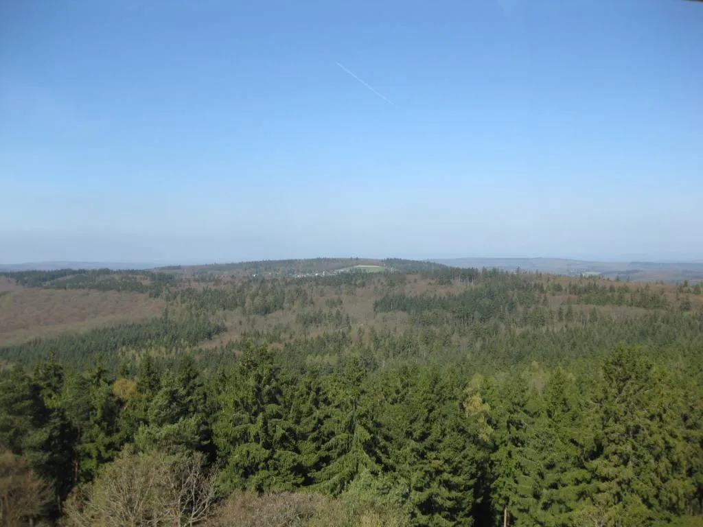
Gaulskopf Hintertaunus at de.wikipedia · Public domain -
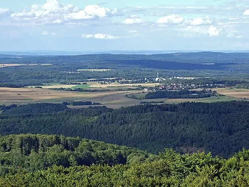
Donnerskopf dontworry · CC BY-SA 3.0


Climate of Griedelbach
Best months for sightseeingBest months for sightseeing: June–August.
This month · November
A cold month
Day 6° · Night 1° · Rain 64 mm
- Hottest month
- July (day 22°)
- Coldest month
- February (night -2°)
- Wettest month
- December (75 mm)
- Driest month
- February (50 mm)
Bars: average monthly low and high temperature. Below: precipitation. Monthly averages for 1970–2000 at about 18 km resolution, adjusted for elevation. Highlighted months are mild and relatively dry. Source: WorldClim 2.1 (CC BY 4.0).
Show values as a table
| Month | Jan | Feb | Mar | Apr | May | Jun | Jul | Aug | Sep | Oct | Nov | Dec |
|---|---|---|---|---|---|---|---|---|---|---|---|---|
| Average high (°C) | 2° | 4° | 8° | 12° | 17° | 20° | 22° | 22° | 18° | 12° | 6° | 4° |
| Average low (°C) | -2° | -2° | 1° | 3° | 8° | 11° | 12° | 12° | 9° | 5° | 1° | -1° |
| Precipitation (mm) | 62 | 50 | 59 | 51 | 65 | 70 | 71 | 54 | 61 | 64 | 64 | 75 |
How to get to Griedelbach
The nearest airport is Frankfurt Main Airport (FRA), 47 km to the south as the crow flies. The nearest large city is Frankfurt am Main, 39 km to the south.
Airports
- Frankfurt Main Airport (FRA) Frankfurt am Main 47 kmsouth
- Frankfurt-Hahn Airport (HHN) Frankfurt am Main (Lautzenhausen) 106 kmsouthwest
- Cologne Bonn Airport (CGN) Köln (Cologne) 108 kmnorthwest
Nearby large cities
- Frankfurt am Main Population: 650K 39 kmsouth
- Offenbach Population: 119.2K 43 kmsoutheast
- Wiesbaden Population: 288.8K 45 kmsouthwest
- Mainz Population: 222.9K 55 kmsouth
- Siegen Population: 107.2K 59 kmnorthwest
Straight-line distances; road distances are longer. Airport data: OurAirports.
Day trips from Griedelbach
Within 100 km: 737 historic and cultural sites, 4,849 natural sites, 778 lakes, rivers and coasts.
0–25 km408 places
- Hattsteinweiher Lake 12 kmS
- Wölfersheimer See Lake 24 kmE
- Zinnberg Mountain 20 kmNW
- Ziegenberg Mountain 25 kmW
25–60 km1,926 places
- Ohe River 40 kmN
- Lumda River 25 kmNE
- Felda River 47 kmNE
- Aar River 37 kmW
60–100 km4,030 places
- Else River 98 kmNW
- Weibe River 66 kmNW
- Ogge River 89 kmN
- Modau River 71 kmS
Straight-line distances.
Nearby attractions & nature
Everything nearby-
Köhlerberg Mountain, Waldsolms2 km N
-
Höchstbaum Mountain, Waldsolms2.3 km SE
-
Rotwiesenberg Mountain, Schöffengrund2.4 km NW
-
Kuchenberg Mountain, Langgöns2.5 km E
-
Hochhardt Mountain, Waldsolms3.6 km S
-
Füllenberg Mountain, Waldsolms3.6 km S
Sources & licences
Data last updated: · 2 independent sources