Wasserkuppe
Located in Gersfeld (Rhön), Landkreis Fulda Coordinates: 50°29′54″ N 9°56′15″ E
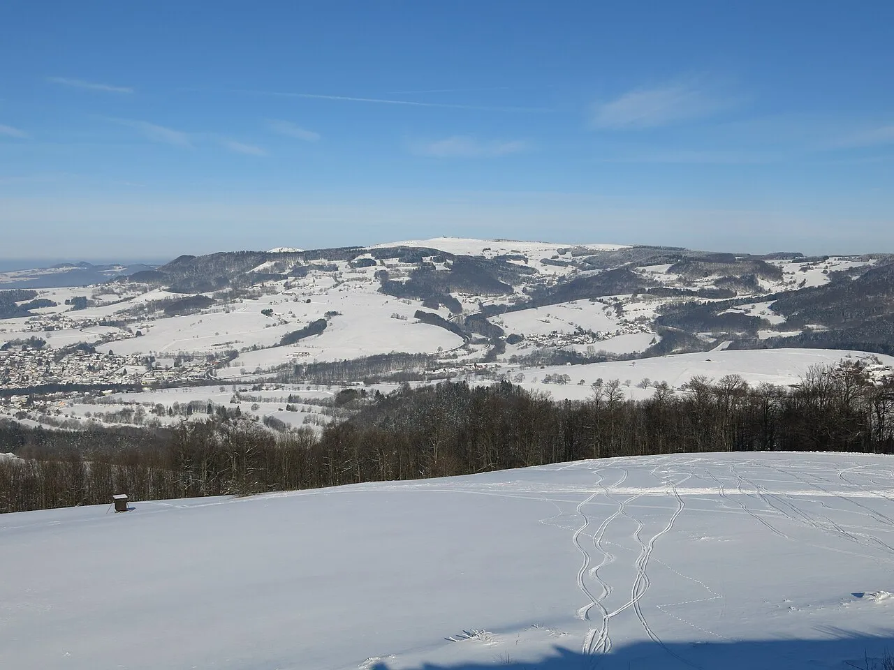
- Elevation
- 950 m
- above sea level
- Local time
- UTC+01:00
- Europe/Berlin · UTC+01:00
- Airports
- ERF Erfurt-Weimar Airport90 km
- KSF Kassel Airport109 km
About Wasserkuppe
Wasserkuppe is a mountain. Location: Gersfeld (Rhön), Landkreis Fulda. Elevation: 950 m.
The Wasserkuppe (German pronunciation: [ˈvasɐˌkʊpə] ;) is the highest mountain in the Rhön range and the tallest elevation in the German state of Hesse, standing at 950 metres (3,120 ft) above sea level. It forms a prominent plateau within the Fulda district and is known as the "cradle of gliding". Great advances in sailplane development took place here during the interwar period, driven by annual contests. To this day, an airfield near the summit continues to be used by gliding clubs and light aircraft pilots.
Source: Wikipedia · CC BY-SA 4.0
At a glance
- Topographic prominence
- 584 m
Source: Wikidata
Photos of Wasserkuppe
-

Kreuzschnabel · CC BY-SA 3.0 -

Jörg Braukmann · CC BY-SA 4.0 -

Jörg Braukmann · CC BY-SA 4.0 -

Joschi71 · CC BY-SA 4.0 -

GerritR · CC BY-SA 4.0


Climate of Wasserkuppe
Best months for sightseeingBest months for sightseeing: June–August.
This month · November
A wet month
Day 3° · Night -2° · Rain 103 mm
- Hottest month
- August (day 19°)
- Coldest month
- January (night -6°)
- Wettest month
- December (131 mm)
- Driest month
- August (71 mm)
Bars: average monthly low and high temperature. Below: precipitation. Monthly averages for 1970–2000 at about 18 km resolution, adjusted for elevation. Highlighted months are mild and relatively dry. Source: WorldClim 2.1 (CC BY 4.0).
Show values as a table
| Month | Jan | Feb | Mar | Apr | May | Jun | Jul | Aug | Sep | Oct | Nov | Dec |
|---|---|---|---|---|---|---|---|---|---|---|---|---|
| Average high (°C) | -1° | 0° | 4° | 8° | 14° | 16° | 18° | 19° | 14° | 9° | 3° | 0° |
| Average low (°C) | -6° | -5° | -2° | 0° | 5° | 8° | 10° | 10° | 7° | 3° | -2° | -4° |
| Precipitation (mm) | 109 | 87 | 94 | 72 | 78 | 87 | 94 | 71 | 82 | 98 | 103 | 131 |
How to get to Wasserkuppe
The nearest airport is Erfurt-Weimar Airport (ERF), 90 km to the northeast as the crow flies. The nearest large city is Würzburg, 78 km to the south.
Airports
- Erfurt-Weimar Airport (ERF) Erfurt 90 kmnortheast
- Kassel Airport (KSF) Calden 109 kmnorth
- Frankfurt Main Airport (FRA) Frankfurt am Main 111 kmsouthwest
Nearby large cities
- Würzburg Population: 133.7K 78 kmsouth
- Erfurt Population: 218.8K 94 kmnortheast
- Offenbach Population: 119.2K 94 kmsouthwest
- Kassel Population: 197.2K 96 kmnorth
- Frankfurt am Main Population: 650K 99 kmsouthwest
Straight-line distances; road distances are longer. Airport data: OurAirports.
Day trips from Wasserkuppe
Within 100 km: 987 historic and cultural sites, 5,394 natural sites, 828 lakes, rivers and coasts.
0–25 km460 places
- Unterer Metzenweiher Lake 13 kmNW
- Oberer Metzenweiher Lake 12 kmNW
- Metzenweiher Lake 12 kmNW
- Zornberg Mountain 11 kmS
25–60 km1,964 places
- Felda River 40 kmN
- Eitra River 38 kmN
- Sennfelder See Lake 55 kmSE
- Talsperre Schwickershausen Lake 32 kmE
60–100 km4,785 places
- Ohe River 94 kmW
- Lumda River 89 kmW
- Frieda River 78 kmN
- Felda River 66 kmW
Straight-line distances.
Nearest towns and villages
-
Wasserkuppe Village, Gersfeld (Rhön)0.5 km E
-
Ehrenberg Village, Landkreis Fulda4.4 km E
-
Gersfeld Town, Gersfeld (Rhön)5.5 km S
-
Obernhausen Village, Gersfeld (Rhön)2.1 km S
-
Abtsroda Village, Poppenhausen (Wasserkuppe)1.5 km NW
-
Poppenhausen (Wasserkuppe) Village, Landkreis Fulda5 km W
Nearby attractions & nature
Everything nearby-
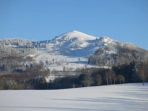 Pferdskopf Mountain, Poppenhausen (Wasserkuppe)1.3 km SW
-
Abtsrodaer Kuppe Mountain, Poppenhausen (Wasserkuppe)0.6 km N
-
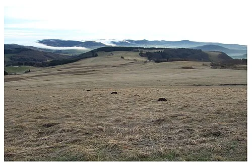 Eubeberg Mountain, Poppenhausen (Wasserkuppe)2.5 km SW
-
Naturpark Hessische Rhön Natural site, Poppenhausen (Wasserkuppe)1.5 km W
-
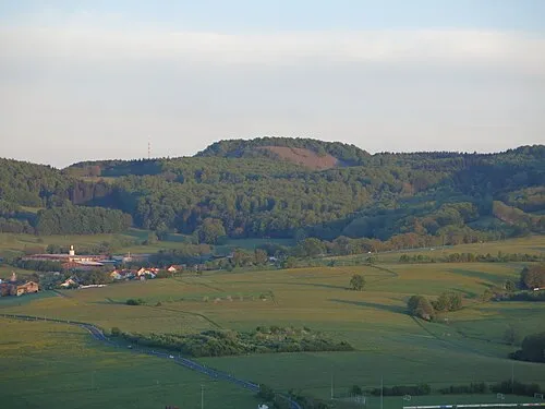 Schafstein Mountain, Ehrenberg2.6 km E
-
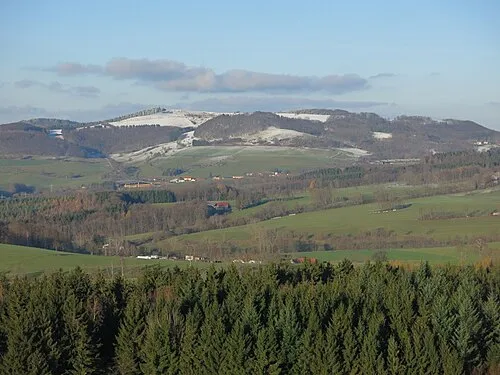 Weiherberg Mountain, Hilders2.9 km NW
-
Fuchsküppel Mountain, Hilders2.7 km NW
-
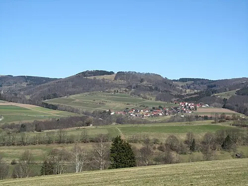 Feldberg Mountain, Gersfeld (Rhön)3.1 km S
More nature in Germany
-
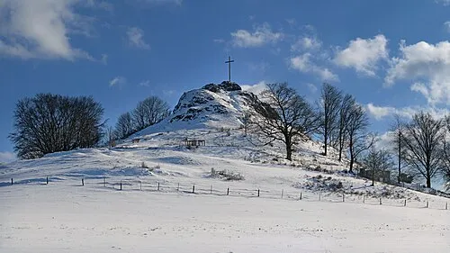 Wachtküppel Mountain, Gersfeld (Rhön)4.5 km SW
-
Komberg Mountain, Gersfeld (Rhön)3.8 km SW
-
Schneeberg Mountain, Gersfeld (Rhön)3.8 km S
-
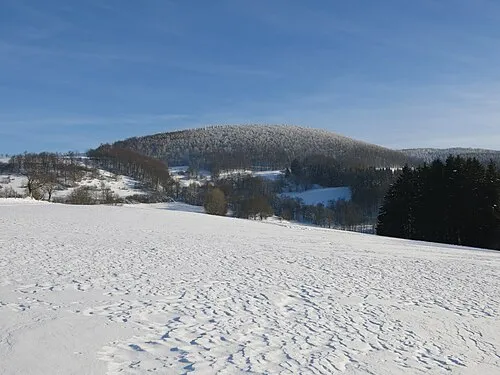 Hohe Hölle Mountain, Gersfeld (Rhön)7.9 km S
-
Nameless Point Mountain, Gersfeld (Rhön)2 km S
-
Ottilienstein Mountain, Gersfeld (Rhön)5 km SE
Sources & licences
Data last updated: · 2 independent sources