
- Elevation
- 260 m
- above sea level
- Local time
- UTC+01:00
- Europe/Berlin · UTC+01:00
- Airports
- KSF Kassel Airport6 km
- PAD Paderborn Lippstadt Airport60 km
About Weimar
Weimar is a village. Location: Ahnatal, Landkreis Kassel. Elevation: 260 m.
Weimar is the oldest part of the municipality of Ahnatal. It is a village situated close to the Dörnberg some 15 km northwest of Kassel and has about 3500 inhabitants. Being close to the city of Kassel, most people who live in Weimar are commuters who work in the city of Kassel. There are no large-scale firms in Weimar and in Ahnatal in general. Its main sight is the Bühl, a former pit which was left open after a source leaked into it.
Source: Wikipedia · CC BY-SA 4.0
At a glance
- Area
- 11.6 km²
Source: Wikidata
Photos of Weimar
-
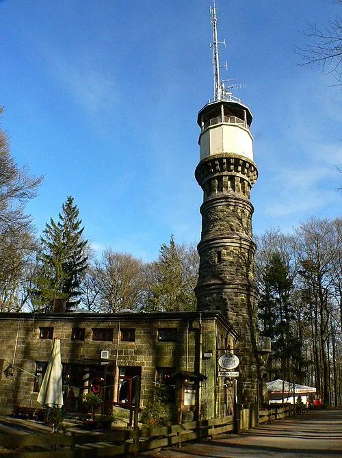
Hohes Gras Presse03 · CC BY-SA 3.0 -
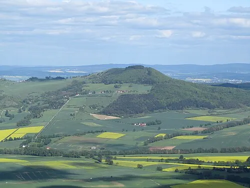
Dörnberg Jörg Braukmann · CC BY-SA 3.0


Climate of Weimar
Best months for sightseeingBest months for sightseeing: June–August.
This month · November
A cold month
Day 7° · Night 2° · Rain 62 mm
- Hottest month
- August (day 22°)
- Coldest month
- February (night -2°)
- Wettest month
- June (75 mm)
- Driest month
- February (46 mm)
Bars: average monthly low and high temperature. Below: precipitation. Monthly averages for 1970–2000 at about 18 km resolution, adjusted for elevation. Highlighted months are mild and relatively dry. Source: WorldClim 2.1 (CC BY 4.0).
Show values as a table
| Month | Jan | Feb | Mar | Apr | May | Jun | Jul | Aug | Sep | Oct | Nov | Dec |
|---|---|---|---|---|---|---|---|---|---|---|---|---|
| Average high (°C) | 3° | 4° | 8° | 12° | 18° | 20° | 22° | 22° | 18° | 12° | 7° | 4° |
| Average low (°C) | -2° | -2° | 1° | 3° | 7° | 10° | 12° | 12° | 9° | 5° | 2° | -1° |
| Precipitation (mm) | 59 | 46 | 56 | 47 | 65 | 75 | 67 | 60 | 60 | 56 | 62 | 69 |
How to get to Weimar
The nearest airport is Kassel Airport (KSF), 6 km to the north as the crow flies. The nearest large city is Kassel, 9 km to the southeast.
Airports
- Kassel Airport (KSF) Calden 6 kmnorth
- Paderborn Lippstadt Airport (PAD) Büren 60 kmnorthwest
- Erfurt-Weimar Airport (ERF) Erfurt 118 kmeast
Nearby large cities
- Kassel Population: 197.2K 9 kmsoutheast
- Göttingen Population: 122.1K 42 kmnortheast
- Paderborn Population: 142.2K 59 kmnorthwest
- Bielefeld Population: 331.9K 95 kmnorthwest
- Siegen Population: 107.2K 110 kmsouthwest
Straight-line distances; road distances are longer. Airport data: OurAirports.
Day trips from Weimar
Within 100 km: 349 historic and cultural sites, 5,581 natural sites, 837 lakes, rivers and coasts.
0–25 km363 places
- Wande River 20 kmW
- Erpe River 20 kmW
- Baune River 15 kmS
- Vollmarshäuser Teich Lake 16 kmSE
25–60 km2,154 places
- Ogge River 47 kmW
- Naure River 28 kmNW
- Frieda River 55 kmE
- Seeburger See Lake 58 kmNE
60–100 km4,250 places
- Valme River 69 kmW
- Schalk River 89 kmNE
- Ohe River 93 kmN
- Ohe River 81 kmSW
Straight-line distances.
Nearby attractions & nature
Everything nearby-
Bühl Mountain, Ahnatal1 km SW
-
Katzenstein Mountain, Habichtswald2.5 km SW
-
Hangarstein Mountain, Calden2 km W
-
Hohlestein Mountain, Ahnatal2.6 km SW
-
Dörnberg Mountain, Zierenberg3.5 km SW
-
Staufenberg Mountain, Vellmar3 km NE
Sources & licences
Data last updated: · 2 independent sources