Willershausen
Located in Herleshausen, Werra-Meißner-Kreis Coordinates: 51°02′09″ N 10°10′52″ E

- Elevation
- 303 m
- above sea level
- Local time
- UTC+01:00
- Europe/Berlin · UTC+01:00
- Airports
- ERF Erfurt-Weimar Airport55 km
- KSF Kassel Airport70 km
About Willershausen
Willershausen is a village. Location: Herleshausen, Werra-Meißner-Kreis. Elevation: 303 m.
Willershausen is a village and castle in the Gemeinde of Herleshausen in Werra-Meißner-Kreis, Hesse. In 1383, the Treusch von Buttlar were lords of Willershausen and adjacent areas. Already at the end of the 13th Century, the residential tower and the defensive tower of the present castle were built. The Treusch von Buttlar were the owners until the death of Ernst Carl Treusch von Buttlar (see section below) in 1757.
Source: Wikipedia · CC BY-SA 4.0
At a glance
- Area
- 8 km²
Source: Wikidata
Photos of Willershausen
-

Dk0704 · CC BY-SA 4.0 -

Michael Köhler · CC BY 4.0 -
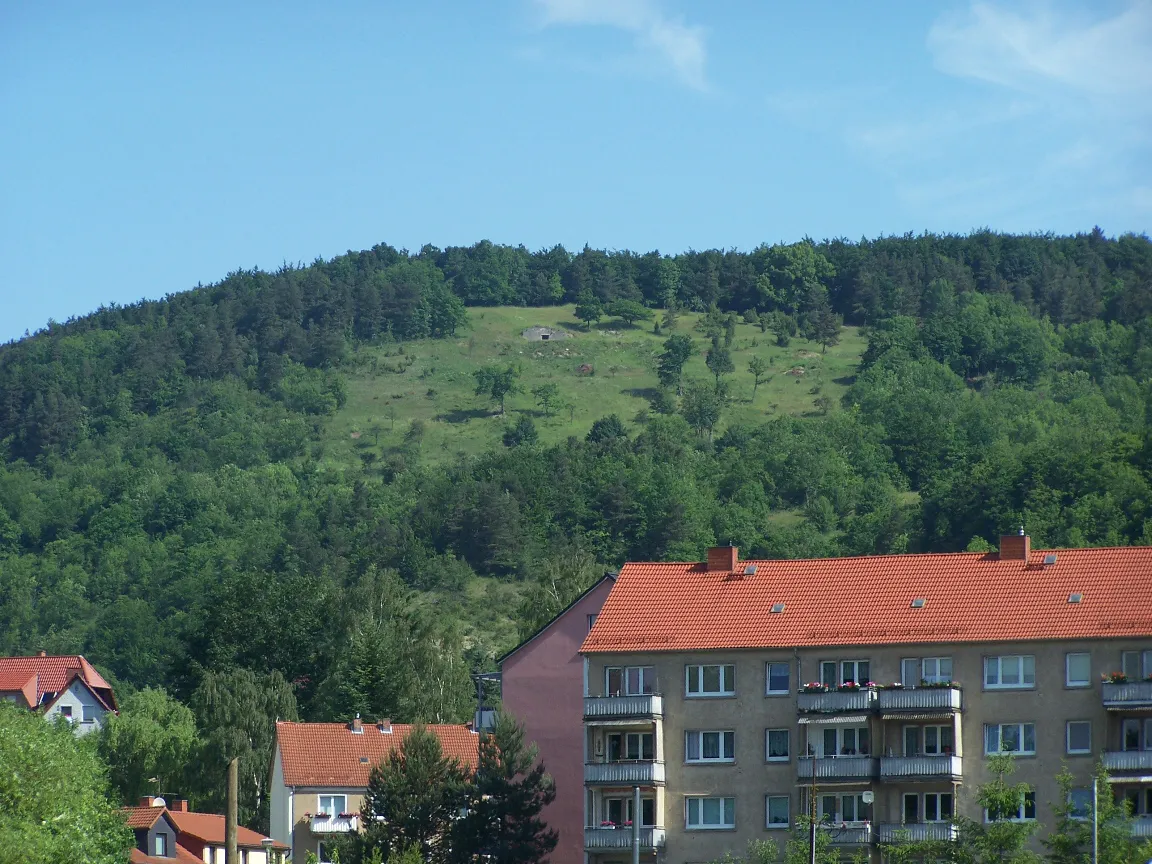
Wisch Metilsteiner · CC BY-SA 3.0 -
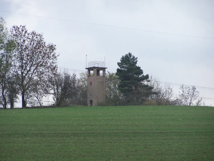
Tellberg Metilsteiner · CC BY-SA 3.0 -
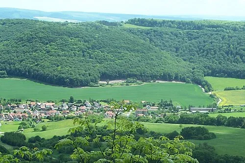
Stöckigtsberg Metilsteiner · CC BY 3.0


Climate of Willershausen
Best months for sightseeingBest months for sightseeing: June–August.
This month · November
A cold month
Day 6° · Night 1° · Rain 63 mm
- Hottest month
- July (day 22°)
- Coldest month
- February (night -3°)
- Wettest month
- July (78 mm)
- Driest month
- February (47 mm)
Bars: average monthly low and high temperature. Below: precipitation. Monthly averages for 1970–2000 at about 18 km resolution, adjusted for elevation. Highlighted months are mild and relatively dry. Source: WorldClim 2.1 (CC BY 4.0).
Show values as a table
| Month | Jan | Feb | Mar | Apr | May | Jun | Jul | Aug | Sep | Oct | Nov | Dec |
|---|---|---|---|---|---|---|---|---|---|---|---|---|
| Average high (°C) | 3° | 4° | 8° | 12° | 18° | 20° | 22° | 22° | 18° | 12° | 6° | 4° |
| Average low (°C) | -3° | -3° | 0° | 3° | 7° | 10° | 12° | 11° | 8° | 5° | 1° | -1° |
| Precipitation (mm) | 57 | 47 | 59 | 49 | 65 | 74 | 78 | 64 | 61 | 55 | 63 | 69 |
How to get to Willershausen
The nearest airport is Erfurt-Weimar Airport (ERF), 55 km to the east as the crow flies. The nearest large city is Kassel, 57 km to the northwest.
Airports
- Erfurt-Weimar Airport (ERF) Erfurt 55 kmeast
- Kassel Airport (KSF) Calden 70 kmnorthwest
- Paderborn Lippstadt Airport (PAD) Büren 126 kmnorthwest
Nearby large cities
- Kassel Population: 197.2K 57 kmnorthwest
- Göttingen Population: 122.1K 58 kmnorth
- Erfurt Population: 218.8K 60 kmeast
- Jena Population: 104.7K 100 kmeast
- Paderborn Population: 142.2K 125 kmnorthwest
Straight-line distances; road distances are longer. Airport data: OurAirports.
Day trips from Willershausen
Within 100 km: 461 historic and cultural sites, 5,547 natural sites, 792 lakes, rivers and coasts.
0–25 km528 places
- Frieda River 17 kmN
- Felda River 23 kmS
- Hautsee Lake 17 kmS
- Zwickelsberg Mountain 8 kmNE
25–60 km2,015 places
- Eitra River 40 kmSW
- Baune River 55 kmNW
- Vollmarshäuser Teich Lake 50 kmNW
- Unterer Metzenweiher Lake 59 kmSW
60–100 km4,257 places
- Buchenwald concentration camp Historic site 75 kmE
- Wande River 86 kmNW
- Erpe River 86 kmNW
- Schalk River 90 kmN
Straight-line distances.
Nearby attractions & nature
Everything nearby-
Entenberg Mountain, Herleshausen1.2 km N
-
Seelenberg Mountain, Herleshausen2.1 km S
-
Schulzenberg Mountain, Herleshausen2.4 km SW
-
Hoppberg Mountain, Herleshausen2.7 km NW
-
Lenne Mountain, Herleshausen3.2 km W
-
Hagenberg Mountain, Treffurt2.9 km NW
Other cities and towns in Herleshausen
-
Markershausen Village, Herleshausen4.8 km W
-
 Holzhausen Village, Herleshausen6.5 km W
-
Breitzbach Village, Herleshausen6.1 km W
-
Altefeld Village, Herleshausen4.6 km NW
-
Wommen Village, Herleshausen4.9 km SW
-
Nesselröden Village, Herleshausen5 km W
Sources & licences
Data last updated: · 2 independent sources