Achtermannshöhe
Located in Lower Saxony, Germany Coordinates: 51°45′39″ N 10°34′09″ E
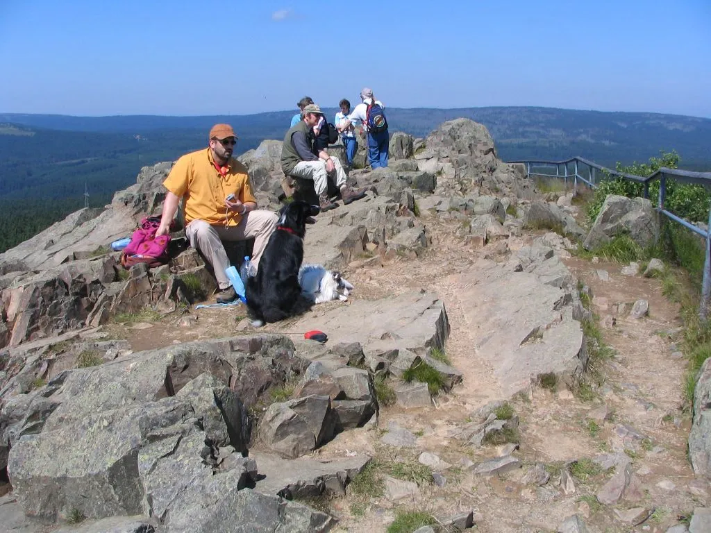
- Elevation
- 925 m
- above sea level
- Local time
- UTC+01:00
- Europe/Berlin · UTC+01:00
About Achtermannshöhe
Achtermannshöhe is a mountain. Location: Lower Saxony, Germany. Elevation: 925 m.
At 925 m above sea level (NN), the Achtermannshöhe (also just called the Achtermann) in the Harz National Park is the third highest mountain in Lower Saxony and the fourth highest in the Harz mountains. It lies in the unincorporated area of Harz between the Harz-Heide route (B 4) and the old Inner German Border about 6 km north of Braunlage. Its summit, covered with loose boulders, stands proud of the surrounding trees and offers a superb all-round view.
Read more on Wikipedia Text: Wikipedia contributors · CC BY-SA 4.0 · shortened
At a glance
- Topographic prominence
- 104 m
Source: Wikidata
In comparison
- No. 1798 of 25787 mountains in Germany by elevation
- 91 sights and natural places within 10 km Königskopf, Staatsforst Oderhaus
Nearest towns and villages
-
Braunlage Village, Landkreis Goslar4.5 km SE
-
Königskrug Village, Braunlage1.6 km S
-
Braunlage Town, Braunlage4.8 km SE
-
Sankt Andreasberg Village, Braunlage6.6 km SW
-
Schierke Village, Wernigerode6.4 km E
-
Torfhaus Village, Clausthal-Zellerfeld5 km NW
Nearby attractions & nature
Everything nearby-
Königskopf Mountain, Lower Saxony1.2 km S
-
Staatsforst Oderhaus Natural site, Lower Saxony1.2 km S
-
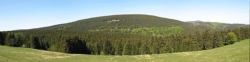 Rehberg Mountain, Lower Saxony3.1 km SW
-
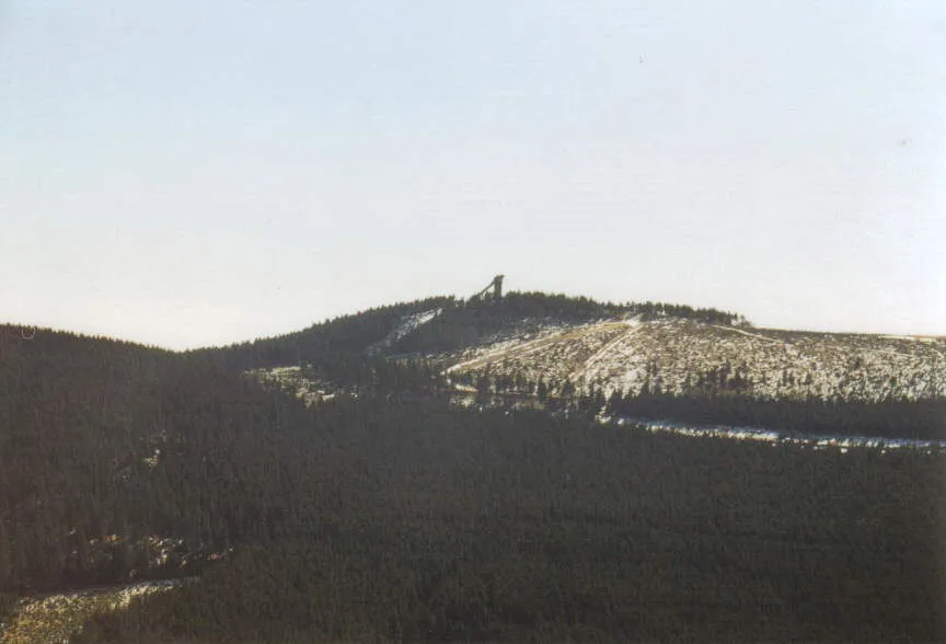 Wurmberg Mountain, Braunlage3.5 km E
-
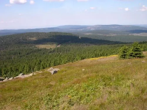 Königsberg Mountain, Wernigerode3.7 km NE
-
Kleiner Sonnenberg Mountain, Lower Saxony2.9 km SW
-
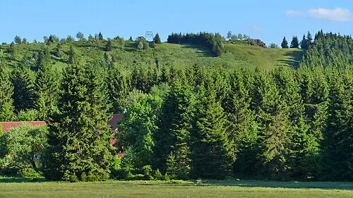 Großer Sonnenberg Mountain, Lower Saxony3.9 km W
-
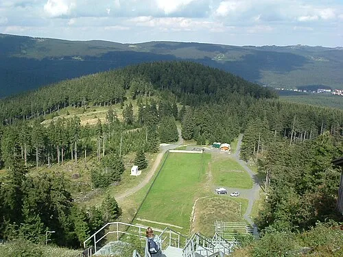 Großer Winterberg Mountain, Wernigerode3.8 km E
More nature in Germany
-
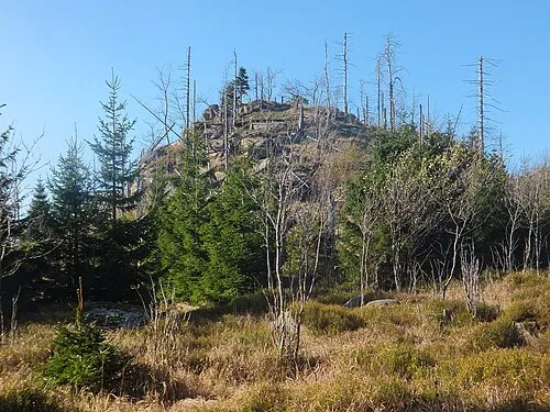 Quitschenberg Mountain, Lower Saxony4 km N
-
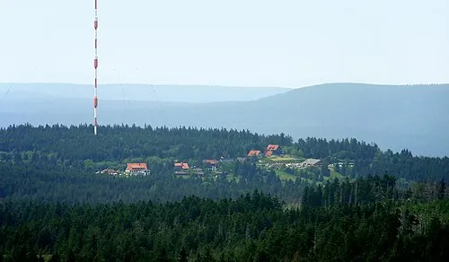 Lerchenköpfe Mountain, Clausthal-Zellerfeld5.2 km NW
-
Abbenstein Mountain, Lower Saxony5.9 km N
-
Wolfswarte Mountain, Lower Saxony4.4 km NW
-
Kleiner Oderberg Mountain, Lower Saxony5.1 km S
-
Sonnenkopf Mountain, Lower Saxony6 km W
Sources & licences
Data last updated: · 2 independent sources