
- Population
- 747
- 747
- Elevation
- 614 m
- above sea level
- Local time
- UTC+01:00
- Europe/Berlin · UTC+01:00
- Airports
- ERF Erfurt-Weimar Airport90 km
- KSF Kassel Airport96 km
About Schierke
Schierke is a village. Location: Wernigerode, Landkreis Harz. Population: 747. Elevation: 614 m.
Schierke is a village and a former municipality in the Harz district, in the German state of Saxony-Anhalt. Since 1 July 2009, it is part of the town Wernigerode. Situated within the Harz mountain range in the valley of the river Bode, at the rim of the Harz National Park, it is mainly a tourist resort, especially for hiking and all kinds of winter sports.
Source: Wikipedia · CC BY-SA 4.0
Photos of Schierke
-
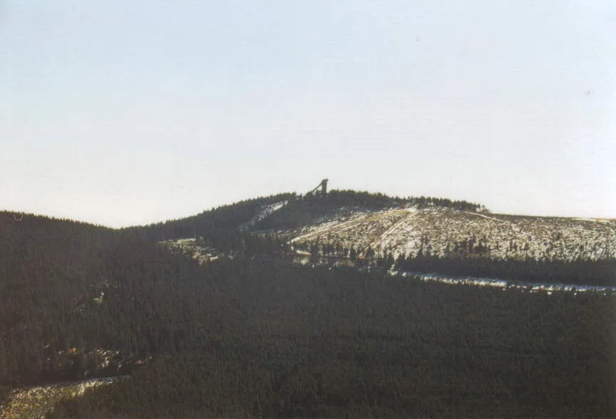
Wurmberg User Steffen Mokosch on de.wikipedia · CC BY-SA 3.0 -
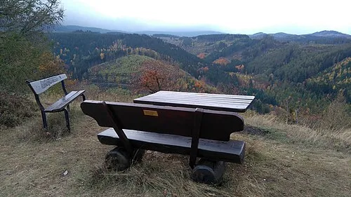
Steinberg de:Benutzer:Hejkal · CC BY-SA 3.0 de -
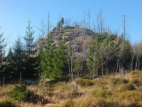
Quitschenberg Atu60 · CC BY-SA 4.0 -
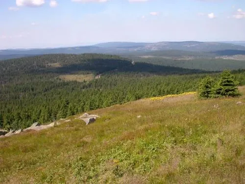
Königsberg Tomihahndorf at de.wikipedia · CC BY-SA 3.0 -
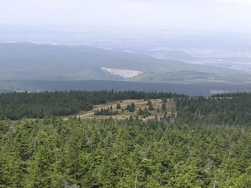
Kleiner Brocken Sipalius · CC BY-SA 3.0


Climate of Schierke
Best months for sightseeingBest months for sightseeing: June–August.
This month · November
A wet month
Day 5° · Night 0° · Rain 134 mm
- Hottest month
- August (day 19°)
- Coldest month
- January (night -4°)
- Wettest month
- December (160 mm)
- Driest month
- May (79 mm)
Bars: average monthly low and high temperature. Below: precipitation. Monthly averages for 1970–2000 at about 18 km resolution, adjusted for elevation. Highlighted months are mild and relatively dry. Source: WorldClim 2.1 (CC BY 4.0).
Show values as a table
| Month | Jan | Feb | Mar | Apr | May | Jun | Jul | Aug | Sep | Oct | Nov | Dec |
|---|---|---|---|---|---|---|---|---|---|---|---|---|
| Average high (°C) | 1° | 1° | 4° | 8° | 14° | 17° | 19° | 19° | 15° | 10° | 5° | 2° |
| Average low (°C) | -4° | -4° | -2° | 1° | 5° | 9° | 10° | 10° | 7° | 4° | 0° | -3° |
| Precipitation (mm) | 141 | 101 | 129 | 89 | 79 | 111 | 106 | 97 | 101 | 115 | 134 | 160 |
How to get to Schierke
The nearest airport is Erfurt-Weimar Airport (ERF), 90 km to the south as the crow flies. The nearest large city is Salzgitter, 47 km to the north.
Airports
- Erfurt-Weimar Airport (ERF) Erfurt 90 kmsouth
- Kassel Airport (KSF) Calden 96 kmsouthwest
- Hannover Airport (HAJ) Hannover 102 kmnorthwest
Nearby large cities
- Salzgitter Population: 105K 47 kmnorth
- Göttingen Population: 122.1K 57 kmsouthwest
- Braunschweig Population: 244.7K 57 kmnorth
- Wolfsburg Population: 123.1K 74 kmnorth
- Magdeburg Population: 244.3K 78 kmnortheast
Straight-line distances; road distances are longer. Airport data: OurAirports.
Day trips from Schierke
Within 100 km: 512 historic and cultural sites, 3,809 natural sites, 778 lakes, rivers and coasts.
0–25 km567 places
- Schalk River 18 kmNW
- Bere River 25 kmS
- Zillerbachtalsperre Lake 8 kmE
- Talsperre Wendefurth Lake 17 kmE
25–60 km1,745 places
- Sarre River 55 kmNE
- Aue River 33 kmN
- Aue River 26 kmN
- Tietal Lake 44 kmNE
60–100 km2,787 places
- Buchenwald concentration camp Historic site 92 kmSE
- Wiehe River 93 kmN
- Ohe River 80 kmNW
- Frieda River 74 kmSW
Straight-line distances.
Nearby attractions & nature
Everything nearby-
Ahrensklint Mountain, Wernigerode0.4 km NE
-
Barenberg Mountain, Oberharz am Brocken1.3 km SE
-
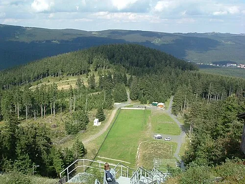 Großer Winterberg Mountain, Wernigerode2.6 km W
-
Erdbeerkopf Mountain, Wernigerode1.6 km NE
-
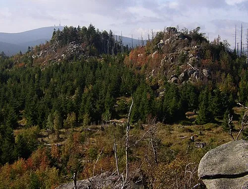 Hohnekamm Mountain, Wernigerode3 km NE
-
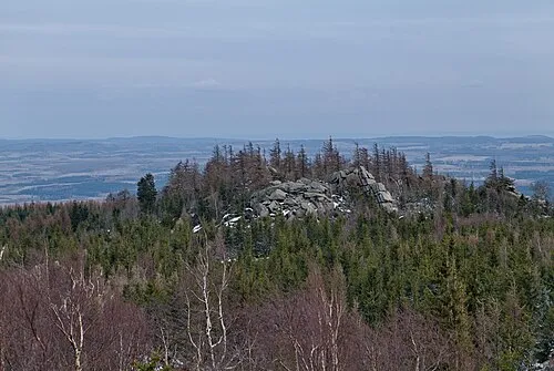 Hohnekopf Mountain, Oberharz am Brocken2.6 km E
Other cities and towns in Wernigerode
-
 Reddeber Village, Wernigerode15 km NE
-
 Hasserode Neighbourhood, Wernigerode9.2 km NE
-
 Nöschenrode Village, Wernigerode11 km NE
-
Büchenberg Village, Wernigerode9.5 km E
-
Voigtstieg Village, Wernigerode12 km NE
-
 Benzingerode Village, Wernigerode16 km NE
Sources & licences
Data last updated: · 2 independent sources