Braunschweig
Located in Kreisfreie Stadt Braunschweig, Lower Saxony Coordinates: 52°15′53″ N 10°31′24″ E
- Population
- 252,962
- 253K
- Elevation
- 78 m
- above sea level
- Local time
- UTC+01:00
- Europe/Berlin · UTC+01:00
- Places inside
- 108
- listed under Braunschweig
- Airports
- HAJ Hannover Airport61 km
- KSF Kassel Airport122 km
About Braunschweig
Braunschweig is a village. Location: Kreisfreie Stadt Braunschweig, Lower Saxony. Population: 252,962. Elevation: 78 m. The best months to visit are June–August. The nearest airport is Hannover Airport (61 km). Nearby sights include Buchhorst and Timmerlaher Busch.
Climate of Braunschweig
Best months for sightseeingBest months for sightseeing: June–August.
This month · November
A cold month
Day 8° · Night 2° · Rain 49 mm
- Hottest month
- August (day 23°)
- Coldest month
- January (night -1°)
- Wettest month
- June (69 mm)
- Driest month
- February (35 mm)
Bars: average monthly low and high temperature. Below: precipitation. Monthly averages for 1970–2000 at about 18 km resolution, adjusted for elevation. Highlighted months are mild and relatively dry. Source: WorldClim 2.1 (CC BY 4.0).
Show values as a table
| Month | Jan | Feb | Mar | Apr | May | Jun | Jul | Aug | Sep | Oct | Nov | Dec |
|---|---|---|---|---|---|---|---|---|---|---|---|---|
| Average high (°C) | 3° | 4° | 8° | 13° | 18° | 21° | 23° | 23° | 18° | 13° | 8° | 5° |
| Average low (°C) | -1° | -1° | 1° | 4° | 8° | 11° | 13° | 12° | 10° | 6° | 2° | 0° |
| Precipitation (mm) | 46 | 35 | 48 | 44 | 52 | 69 | 57 | 60 | 49 | 47 | 49 | 55 |
How to get to Braunschweig
The nearest airport is Hannover Airport (HAJ), 61 km to the west as the crow flies. The nearest large city is Braunschweig, 1 km to the northeast.
Airports
- Hannover Airport (HAJ) Hannover 61 kmwest
- Kassel Airport (KSF) Calden 122 kmsouthwest
- Bremen Airport (BRE) Bremen 146 kmnorthwest
Nearby large cities
- Braunschweig Population: 244.7K 1 kmnortheast
- Salzgitter Population: 105K 14 kmsouthwest
- Wolfsburg Population: 123.1K 25 kmnortheast
- Hanover Population: 515.1K 55 kmwest
- Magdeburg Population: 244.3K 77 kmeast
Straight-line distances; road distances are longer. Airport data: OurAirports.
Day trips from Braunschweig
Within 100 km: 412 historic and cultural sites, 3,610 natural sites, 763 lakes, rivers and coasts.
0–25 km233 places
- Schapenbruch Teich Lake 4 kmE
- Kreuzteich Lake 4 kmE
- Reihersee Lake 23 kmSW
- Waldsee Lake 22 kmN
25–60 km1,471 places
- Wiehe River 37 kmN
- Schalk River 48 kmS
- Ohe River 56 kmW
- Aue River 31 kmSE
60–100 km3,081 places
- Sundern Natural site 82 kmNW
- Warnau River 92 kmNW
- Sarre River 65 kmSE
- Leine River 81 kmNW
Straight-line distances.
Places in Braunschweig
108 places- 1 Braunschweig 244.7K
- 2 Prinzenpark 14K
- 3 Am Hagenring 12.6K
- 4 Rothenburg 9.7K
- 5 Petritor - Ost 9.6K
- 6 Weinberg 8.9K
- 7 Stöckheim 8.5K
- 8 Wilhelmitor - Süd 8.3K
- 9 Heidberg 7.7K
- 10 Siegfriedviertel 7.5K
- 11 Petritor - Nord 5.9K
- 12 Broitzem 5.9K
- 13 Wilhelmitor - Nord 5.8K
- 14 Lamme 5K
- 15 Lehndorf 4.9K
- 16 Stadtkern 4.9K
- 17 Herrmannshöhe 4.9K
- 18 Schwarzer Berg 4.7K
- 19 Altes Hochschulviertel 4.4K
- 20 Volkmarode 4.1K
- 21 Gliesmarode 4.1K
- 22 Wenden 4K
- 23 Querum - Wabenkamp 4K
- 24 Nordbahnhof 4K
- 25 Bürgerpark 3.9K
- 26 Mascherode 3.9K
- 27 Kanzlerfeld 3.8K
- 28 Melverode 3.7K
- 29 Hondelage 3.7K
- 30 Kralenriede 3.6K
- 31 Petritor - West 3.5K
- 32 Rautheim 3.4K
- 33 Viewegs Garten 3.4K
- 34 Hagen 3.3K
- 35 Waggum 3.3K
- 36 Bebelhof 3K
- 37 Rüningen 2.9K
- 38 Südstadt 2.8K
- 39 Veltenhof 2.7K
- 40 Lindenberg 2.7K
- 41 Pappelberg 2.7K
- 42 Watenbüttel 2.5K
- 43 Neustadt 2.4K
- 44 Timmerlah 2.3K
- 45 Querumer Forst 2.3K
- 46 Gartenstadt 2K
- 47 Leiferde 1.9K
- 48 Altewiek 1.9K
- 49 Hohetor 1.8K
- 50 Bienrode 1.8K
- 51 Völkenrode 1.7K
- 52 Schuntersdlg - West 1.7K
- 53 Schapen 1.6K
- 54 Bevenrode 1.6K
- 55 Neues Hochschulviertel 1.6K
- 56 Thune 1.5K
- 57 Rühme - Lincolnsdlg. 1.5K
- 58 Ölper 1.5K
- 59 Dibbesdorf 1.4K
- 60 Alt - Lehndorf 1.3K
Bar: population relative to the most populous place in this list.
Nearby attractions & nature
Everything nearby-
Buchhorst Natural site, Lower Saxony5.2 km E
-
Timmerlaher Busch Natural site, Lower Saxony5.3 km W
-
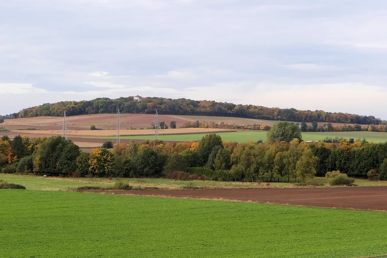 Lindenberg Mountain, Salzgitter8.4 km S
-
Heinebecksberg Mountain, Wolfenbüttel7.9 km S
-
Staatsforst Sophiental Natural site, Lower Saxony6.5 km NE
-
Schäferberg Mountain, Salzgitter8.2 km SW
Sources & licences
Data last updated: