Kreisfreie Stadt Salzgitter
Local name: Salzgitter
Located in Lower Saxony, Germany Coordinates: 52°08′29″ N 10°22′59″ E
- Population
- 104,970
- 105K
- Elevation
- 104 m
- above sea level
- Local time
- UTC+01:00
- Europe/Berlin · UTC+01:00
- Places inside
- 1
- listed under Kreisfreie Stadt Salzgitter
- Airports
- HAJ Hannover Airport59 km
- KSF Kassel Airport106 km
About Kreisfreie Stadt Salzgitter
Kreisfreie Stadt Salzgitter is a municipality. Location: Lower Saxony, Germany. Population: 104,970. Elevation: 104 m.
Salzgitter (German pronunciation: [zaltsˈɡɪtɐ] ; Eastphalian: Soltgitter) is an independent city in southeast Lower Saxony, Germany, located between Hildesheim and Braunschweig. Together with Wolfsburg and Braunschweig, Salzgitter is one of the seven Oberzentren (metropolitan areas) of Lower Saxony. With 107,674 inhabitants and 223.92 square kilometres (86.46 sq mi) (as of 2015), it is the largest city by area in Lower Saxony and one of the largest in Germany.
Source: Wikipedia · CC BY-SA 4.0
Photos of Kreisfreie Stadt Salzgitter
-
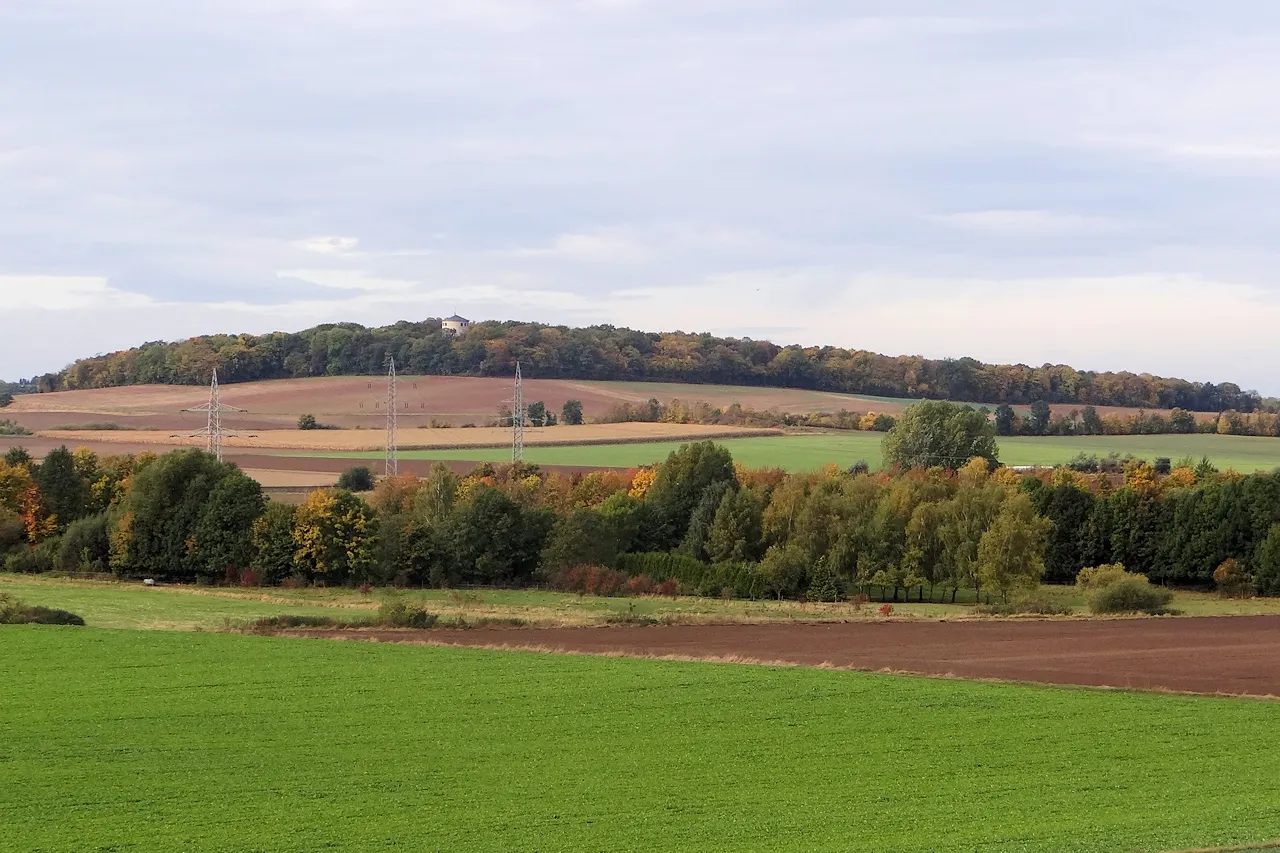
Lindenberg Okernick · CC BY-SA 3.0 -
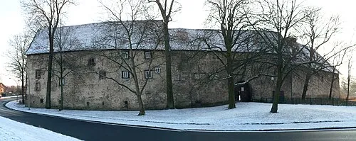
Burg Gebhardshagen Axel Hindemith · CC BY 3.0 -
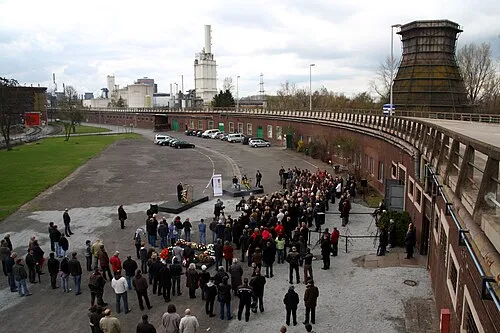
Salzgitter-Drütte Concentration Camp Tim Schredder · CC BY 3.0 -
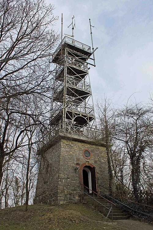
Salzgitter Bismarck Tower Prekario · CC BY-SA 3.0


Places bordering Kreisfreie Stadt Salzgitter
- Vechelde
Twin towns and sister cities of Kreisfreie Stadt Salzgitter
- Imatra· Finland
- Swindon· United Kingdom
Source: Wikidata. Only places with a page on this site are shown.
Population of Kreisfreie Stadt Salzgitter over time
| 2010 | 102,394 | |
|---|---|---|
| 2011 | 98,588 | |
| 2012 | 98,095 | |
| 2013 | 98,197 | |
| 2015 | 101,079 | |
| 2017 | 104,614 | |
| 2019 | 104,948 | |
| 2021 | 103,694 | |
| 2022 | 104,548 | |
| 2023 | 105,039 | |
| 2024 | 104,970 | |
| 2025 | 104,433 |
Censuses and official estimates; source: Wikidata.
Climate of Kreisfreie Stadt Salzgitter
Best months for sightseeingBest months for sightseeing: June–August.
This month · November
A cold month
Day 8° · Night 2° · Rain 54 mm
- Hottest month
- August (day 23°)
- Coldest month
- February (night -2°)
- Wettest month
- June (72 mm)
- Driest month
- February (40 mm)
Bars: average monthly low and high temperature. Below: precipitation. Monthly averages for 1970–2000 at about 18 km resolution, adjusted for elevation. Highlighted months are mild and relatively dry. Source: WorldClim 2.1 (CC BY 4.0).
Show values as a table
| Month | Jan | Feb | Mar | Apr | May | Jun | Jul | Aug | Sep | Oct | Nov | Dec |
|---|---|---|---|---|---|---|---|---|---|---|---|---|
| Average high (°C) | 4° | 4° | 8° | 13° | 18° | 21° | 23° | 23° | 19° | 13° | 8° | 5° |
| Average low (°C) | -2° | -2° | 1° | 3° | 8° | 11° | 13° | 12° | 9° | 6° | 2° | 0° |
| Precipitation (mm) | 52 | 40 | 55 | 49 | 60 | 72 | 63 | 63 | 53 | 51 | 54 | 62 |
How to get to Kreisfreie Stadt Salzgitter
The nearest airport is Hannover Airport (HAJ), 59 km to the northwest as the crow flies. The nearest large city is Salzgitter, 3 km to the northeast.
Airports
- Hannover Airport (HAJ) Hannover 59 kmnorthwest
- Kassel Airport (KSF) Calden 106 kmsouthwest
- Paderborn Lippstadt Airport (PAD) Büren 135 kmsouthwest
Nearby large cities
- Salzgitter Population: 105K 3 kmnortheast
- Braunschweig Population: 244.7K 17 kmnortheast
- Wolfsburg Population: 123.1K 41 kmnortheast
- Hanover Population: 515.1K 51 kmnorthwest
- Göttingen Population: 122.1K 74 kmsouthwest
Straight-line distances; road distances are longer. Airport data: OurAirports.
Day trips from Kreisfreie Stadt Salzgitter
Within 100 km: 408 historic and cultural sites, 3,757 natural sites, 772 lakes, rivers and coasts.
0–25 km283 places
- Schapenbruch Teich Lake 20 kmNE
- Kreuzteich Lake 20 kmNE
- Reihersee Lake 6 kmSW
- Schreckenberg Mountain 23 kmSW
25–60 km1,627 places
- Wiehe River 48 kmN
- Schalk River 34 kmS
- Ohe River 46 kmW
- Aue River 31 kmE
60–100 km3,027 places
- Sundern Natural site 87 kmNW
- Warnau River 97 kmNW
- Sarre River 70 kmE
- Leine River 84 kmNW
Straight-line distances.
Kreisfreie Stadt Salzgitter and similar cities
Side by side with cities of similar size in the same country: population, elevation and climate.
| Measure | Kreisfreie Stadt Salzgitter | Salzgitter | Jena | Gera |
|---|---|---|---|---|
| Population | 105K | 105K | 104.7K | 104.7K |
| Elevation | 104 m | 99 m | 149 m | 203 m |
| Summer day (hottest month) | 23° | 23° | 24° | 24° |
| Winter night (coldest month) | -2° | -2° | -2° | -2° |
| Annual rainfall | 674 mm | 674 mm | 644 mm | 602 mm |
| Best months | Jun–Aug | Jun–Aug | May–Sep | Jun–Sep |
| Distance | — | 3 km | 159 km | 183 km |
Climate values are 1970–2000 monthly averages; straight-line distance.
Places in Kreisfreie Stadt Salzgitter
1 placeBar: population relative to the most populous place in this list.
Nearby attractions & nature
Everything nearby-
Hardewegs Forst Natural site, Lower Saxony5.3 km SW
-
Flothe River, Lower Saxony6 km W
-
Ortsbach River, Lower Saxony6.3 km W
-
Heidberg Mountain, Wolfenbüttel6.9 km E
-
Lesser Wald Natural site, Lower Saxony8.1 km W
-
Sangebach River, Lower Saxony7.4 km W
-
Elberberg Mountain, Elbe8.2 km SW
-
Oderwald Natural site, Lower Saxony9.8 km E
Other cities and towns in Lower Saxony
-
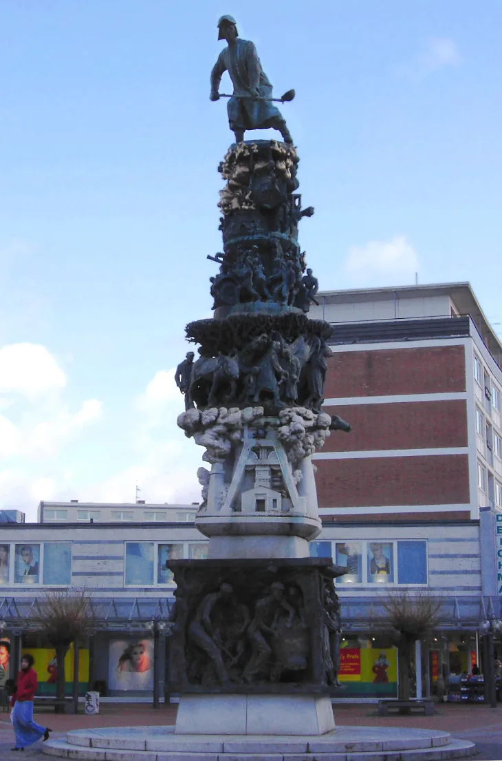 Salzgitter City, Salzgitter2.8 km NE
-
Landkreis Wolfenbüttel Municipality, Lower Saxony19 km E
-
Landkreis Peine Municipality, Lower Saxony21 km NW
-
Kreisfreie Stadt Braunschweig Municipality, Lower Saxony19 km NE
-
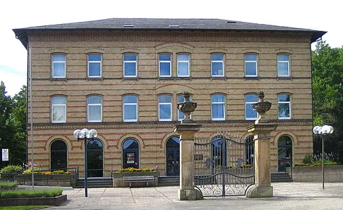 Vechelde Town, Vechelde13 km N
-
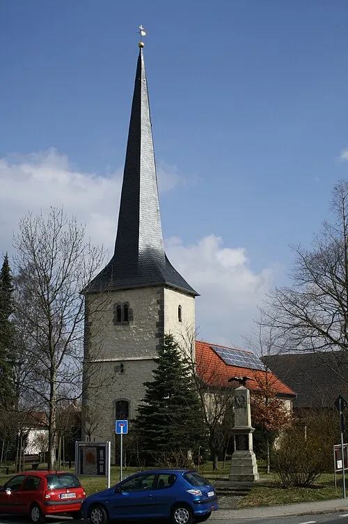 Broitzem Town, Braunschweig12 km NE
Sources & licences
Data last updated: · 2 independent sources