- Population
- 8,332
- 8.3K
- Elevation
- 255 m
- above sea level
- Local time
- UTC+01:00
- Europe/Berlin · UTC+01:00
- Places inside
- 34
- listed under Friedland
- Airports
- KSF Kassel Airport38 km
- ERF Erfurt-Weimar Airport87 km
About Friedland
Friedland is a village. Location: Landkreis Göttingen, Lower Saxony. Population: 8,332. Elevation: 255 m. The best months to visit are June–August. The nearest airport is Kassel Airport (38 km). Nearby sights include Molle and Mühlenberg.
Climate of Friedland
Best months for sightseeingBest months for sightseeing: June–August.
This month · November
A cold month
Day 7° · Night 2° · Rain 63 mm
- Hottest month
- August (day 22°)
- Coldest month
- February (night -2°)
- Wettest month
- June (78 mm)
- Driest month
- February (47 mm)
Bars: average monthly low and high temperature. Below: precipitation. Monthly averages for 1970–2000 at about 18 km resolution, adjusted for elevation. Highlighted months are mild and relatively dry. Source: WorldClim 2.1 (CC BY 4.0).
Show values as a table
| Month | Jan | Feb | Mar | Apr | May | Jun | Jul | Aug | Sep | Oct | Nov | Dec |
|---|---|---|---|---|---|---|---|---|---|---|---|---|
| Average high (°C) | 3° | 4° | 8° | 12° | 17° | 20° | 22° | 22° | 18° | 13° | 7° | 4° |
| Average low (°C) | -2° | -2° | 0° | 3° | 7° | 10° | 12° | 11° | 8° | 5° | 2° | -1° |
| Precipitation (mm) | 59 | 47 | 59 | 49 | 63 | 78 | 69 | 61 | 61 | 58 | 63 | 69 |
How to get to Friedland
The nearest airport is Kassel Airport (KSF), 38 km to the west as the crow flies. The nearest large city is Göttingen, 13 km to the north.
Airports
- Kassel Airport (KSF) Calden 38 kmwest
- Erfurt-Weimar Airport (ERF) Erfurt 87 kmsoutheast
- Paderborn Lippstadt Airport (PAD) Büren 94 kmwest
Nearby large cities
- Göttingen Population: 122.1K 13 kmnorth
- Kassel Population: 197.2K 32 kmwest
- Paderborn Population: 142.2K 88 kmnorthwest
- Salzgitter Population: 105K 89 kmnorth
- Erfurt Population: 218.8K 91 kmsoutheast
Straight-line distances; road distances are longer. Airport data: OurAirports.
Day trips from Friedland
Within 100 km: 402 historic and cultural sites, 5,300 natural sites, 840 lakes, rivers and coasts.
0–25 km435 places
- Seeburger See Lake 23 kmNE
- Ziegenberg Mountain 19 kmE
- Zehnsberg Mountain 25 kmE
- Vaakerberg Mountain 22 kmW
25–60 km2,172 places
- Wande River 57 kmW
- Erpe River 57 kmW
- Schalk River 58 kmNE
- Frieda River 29 kmSE
60–100 km3,935 places
- Ohe River 86 kmN
- Ogge River 85 kmW
- Naure River 61 kmW
- Liese River 98 kmW
Straight-line distances.
Places in Friedland
34 placesBar: population relative to the most populous place in this list.
Cities & villages15
- Ballenhausen · Village
- Besenhausen · Village
- Deiderode · Village
- Elkershausen · Village
- Groß Schneen · Village
- Hottenrode · Village
- Klein Schneen · Village
- Lichtenhagen · Village
- Ludolfshausen · Village
- Mollenfelde · Village
- Niedergandern · Village
- Niedernjesa · Village
- Reckershausen · Village
- Reiffenhausen · Village
- Stockhausen · Village
Mountains & nature14
- Dettberg · Mountain
- Drammberg · Mountain
- Eichenberg · Mountain
- Einzelberg · Mountain
- Fritzeberg · Mountain
- Gieseberg · Mountain
- Mühlenberg · Mountain
- Pferdeberg · Mountain
- Plesse · Mountain
- Reinhäuser Berg · Mountain
- Speerberg · Mountain
- Steinkopf · Mountain
- Uhlenkopf · Mountain
- Weizenberg · Mountain
Heritage & sights3
- Heimkehrerdenkmal · Landmark
- Katholische Kirche St. Norbert, Friedland · Attraction
- Ruine Bodenhausen · Historic site
Nearby attractions & nature
Everything nearby-
Molle River, Germany0.6 km W
-
Mühlenberg Mountain, Neu-Eichenberg2.2 km SW
-
Hackelberg Mountain, Neu-Eichenberg3.7 km SW
-
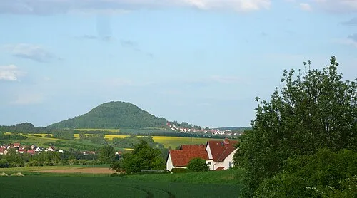 Rusteberg Mountain, Marth6 km SE
-
Eichholz Natural site, Hesse4.2 km SW
-
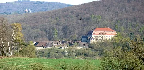 Arnstein Historic site, Neu-Eichenberg6.6 km S
Sources & licences
Data last updated: