- Elevation
- 95 m
- above sea level
- Local time
- UTC+01:00
- Europe/Berlin · UTC+01:00
- Airports
- HAM Hamburg Helmut Schmidt Airport51 km
- BRE Bremen Airport80 km
About Wilseder Bach
Wilseder Bach is a river. Location: Bispingen, Landkreis Heidekreis. The best months to visit are June–August. The nearest airport is Hamburg Helmut Schmidt Airport (51 km). Nearby sights include Heinköpen and Geitzenberg.
Photos of Wilseder Bach
-
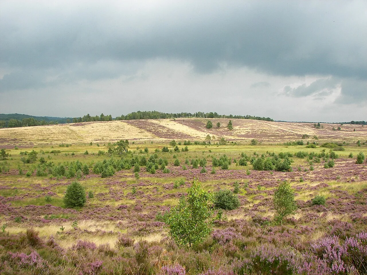
Suhorn Willow · CC BY 2.5 -
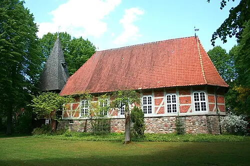
St. Stephanus Frank Vincentz · CC BY-SA 3.0 -
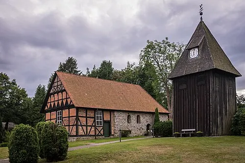
Undeloh, Pfarrkirche St. Maria Magdalenen Pjt56 · CC BY-SA 4.0 -
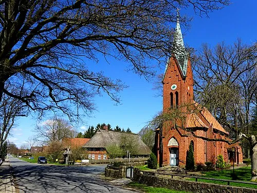
St. Pauli Oxfordian Kissuth · CC BY-SA 3.0 -
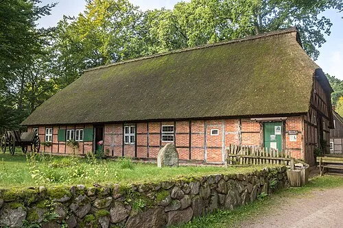
Dat ole Huus Derzno · CC BY-SA 4.0


Climate of Wilseder Bach
Best months for sightseeingBest months for sightseeing: June–August.
This month · November
A cold month
Day 7° · Night 2° · Rain 67 mm
- Hottest month
- August (day 22°)
- Coldest month
- January (night -2°)
- Wettest month
- December (75 mm)
- Driest month
- February (46 mm)
Bars: average monthly low and high temperature. Below: precipitation. Monthly averages for 1970–2000 at about 18 km resolution, adjusted for elevation. Highlighted months are mild and relatively dry. Source: WorldClim 2.1 (CC BY 4.0).
Show values as a table
| Month | Jan | Feb | Mar | Apr | May | Jun | Jul | Aug | Sep | Oct | Nov | Dec |
|---|---|---|---|---|---|---|---|---|---|---|---|---|
| Average high (°C) | 3° | 4° | 7° | 12° | 18° | 20° | 22° | 22° | 17° | 13° | 7° | 4° |
| Average low (°C) | -2° | -2° | 1° | 3° | 7° | 10° | 12° | 12° | 9° | 5° | 2° | 0° |
| Precipitation (mm) | 68 | 46 | 61 | 50 | 55 | 74 | 70 | 66 | 65 | 61 | 67 | 75 |
How to get to Wilseder Bach
The nearest airport is Hamburg Helmut Schmidt Airport (HAM), 51 km to the north as the crow flies. The nearest large city is Bremen, 79 km to the west.
Airports
- Hamburg Helmut Schmidt Airport (HAM) Hamburg 51 kmnorth
- Bremen Airport (BRE) Bremen 80 kmwest
- Hannover Airport (HAJ) Hannover 81 kmsouth
Nearby large cities
- Bremen Population: 546.5K 79 kmwest
- Hanover Population: 515.1K 91 kmsouth
- Lübeck Population: 212.2K 91 kmnortheast
- Wolfsburg Population: 123.1K 99 kmsoutheast
- Bremerhaven Population: 118.6K 102 kmnorthwest
Straight-line distances; road distances are longer. Airport data: OurAirports.
Day trips from Wilseder Bach
Within 100 km: 401 historic and cultural sites, 2,911 natural sites, 1,031 lakes, rivers and coasts.
0–25 km342 places
- Brunausee Lake 7 kmS
- Flüggenhofsee Lake 21 kmSE
- Birkensee Lake 17 kmSW
- Lopausee Lake 18 kmE
25–60 km1,559 places
- Viertbusch Natural site 45 kmNE
- Sundern Natural site 44 kmSW
- Warnau River 40 kmSW
- Leine River 56 kmSW
60–100 km2,442 places
- Wiehe River 71 kmS
- Aubek River 99 kmN
- Rhinplate Island 77 kmNW
- Pagensand Island 65 kmNW
Straight-line distances.
Nearest towns and villages

Nearby attractions & nature
Everything nearby-
Heinköpen Natural site, Bispingen1 km W
-
Geitzenberg Mountain, Bispingen1 km SE
-
Totengrund Natural site, Bispingen1.8 km S
-
Holzberg Mountain, Bispingen1.8 km S
-
Hannibals Grab Historic site, Bispingen0.8 km SE
-
Wilseder Berg Mountain, Bispingen2.2 km W
-
Dat ole Huus Museum, Bispingen1.2 km SW
-
Steingrund Natural site, Bispingen2.4 km S
Sources & licences
Data last updated: