- Elevation
- 181 m
- above sea level
- Local time
- UTC+01:00
- Europe/Berlin · UTC+01:00
- Airports
- FMO Münster Osnabrück Airport18 km
- DTM Dortmund Airport78 km
About Mittelberg
Mittelberg is a mountain. Location: Hagen, Landkreis Osnabrück. Elevation: 181 m. The best months to visit are June–August. The nearest airport is Münster Osnabrück Airport (18 km). Nearby sights include Höhneberg and Westerbecker Berg.
Photos of Mittelberg
-
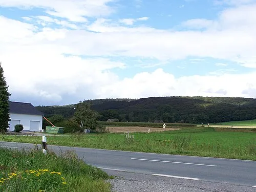
Westerbecker Berg Ramsch at de.wikipedia · CC BY-SA 3.0 -
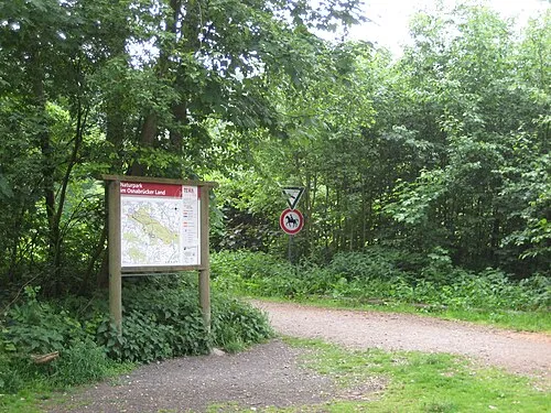
Roter Berg MrsMyer · CC BY-SA 3.0 -
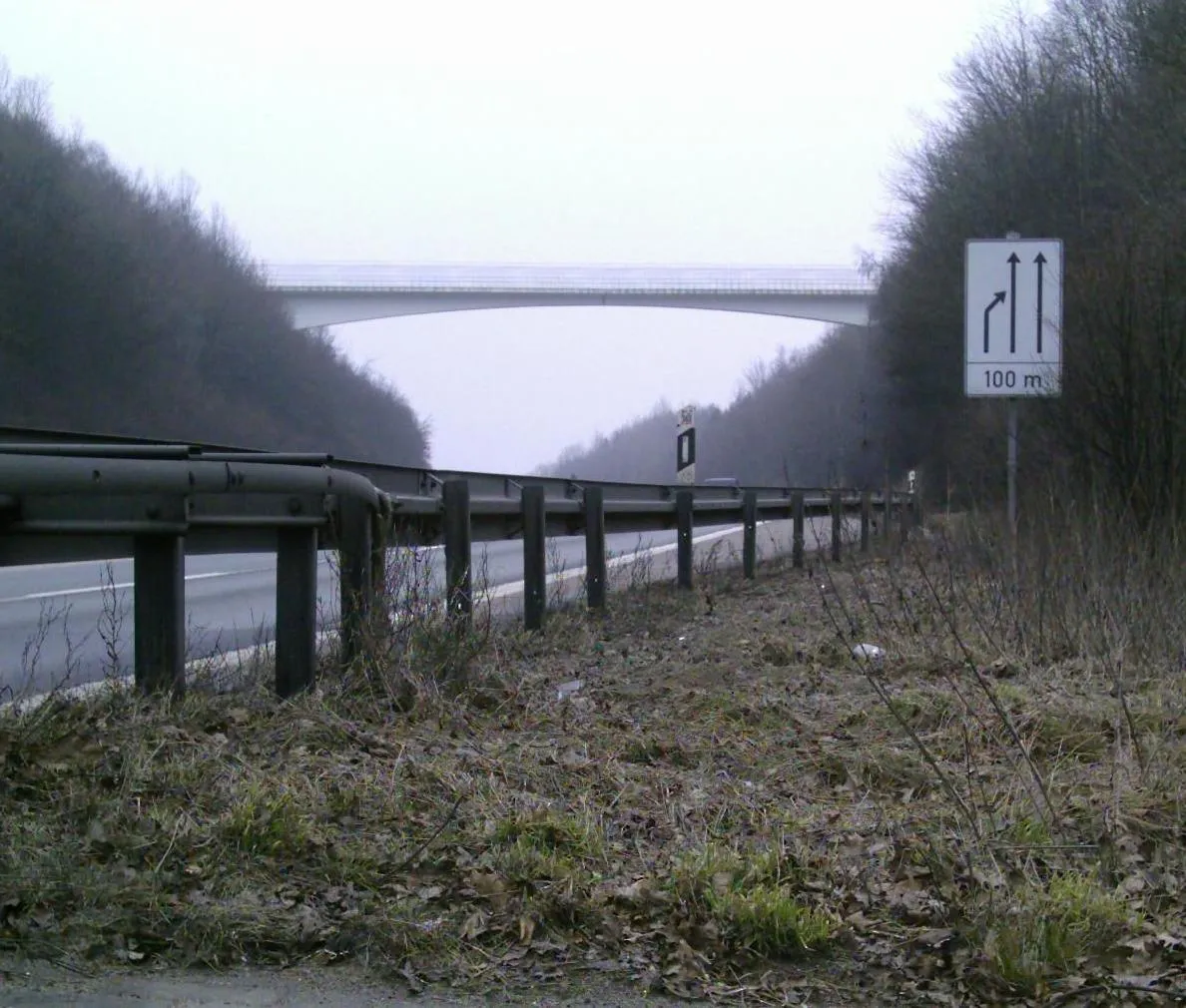
Leedener Berg Emguec · Public domain


Climate of Mittelberg
Best months for sightseeingBest months for sightseeing: June–August.
This month · November
A cold month
Day 7° · Night 2° · Rain 72 mm
- Hottest month
- August (day 21°)
- Coldest month
- February (night -2°)
- Wettest month
- December (82 mm)
- Driest month
- April (48 mm)
Bars: average monthly low and high temperature. Below: precipitation. Monthly averages for 1970–2000 at about 18 km resolution, adjusted for elevation. Highlighted months are mild and relatively dry. Source: WorldClim 2.1 (CC BY 4.0).
Show values as a table
| Month | Jan | Feb | Mar | Apr | May | Jun | Jul | Aug | Sep | Oct | Nov | Dec |
|---|---|---|---|---|---|---|---|---|---|---|---|---|
| Average high (°C) | 3° | 4° | 8° | 12° | 17° | 19° | 21° | 21° | 17° | 13° | 7° | 5° |
| Average low (°C) | -1° | -2° | 1° | 3° | 7° | 10° | 12° | 11° | 9° | 5° | 2° | 0° |
| Precipitation (mm) | 76 | 54 | 66 | 48 | 58 | 75 | 75 | 70 | 69 | 68 | 72 | 82 |
How to get to Mittelberg
The nearest airport is Münster Osnabrück Airport (FMO), 18 km to the west as the crow flies. The nearest large city is Osnabrück, 12 km to the northeast.
Airports
- Münster Osnabrück Airport (FMO) Greven 18 kmwest
- Dortmund Airport (DTM) Dortmund 78 kmsouth
- Paderborn Lippstadt Airport (PAD) Büren 79 kmsoutheast
Nearby large cities
- Osnabrück Population: 166.5K 12 kmnortheast
- Münster Population: 308.3K 33 kmsouthwest
- Bielefeld Population: 331.9K 44 kmsoutheast
- Hamm Population: 179K 57 kmsouth
- Enschede Population: 153.7K 71 kmwest
Straight-line distances; road distances are longer. Airport data: OurAirports.
Day trips from Mittelberg
Within 100 km: 208 historic and cultural sites, 1,784 natural sites, 697 lakes, rivers and coasts.
0–25 km222 places
- Werse River 25 kmSW
- Hase-See Lake 25 kmN
- Rubbenbruchsee Lake 11 kmN
- Präriesee Lake 14 kmN
25–60 km668 places
- Ahse River 57 kmS
- Mickelmeer Lake 49 kmNW
- Kleines Heiliges Meer Lake 27 kmNW
- Großes Heiliges Meer Lake 28 kmNW
60–100 km1,799 places
- Else River 88 kmS
- Valme River 97 kmS
- Grimke River 72 kmSE
- Elpe River 97 kmS
Straight-line distances.
Nearest towns and villages
-
Hagen Town, Hagen2.8 km E
-
 Hasbergen Village, Landkreis Osnabrück4.7 km N
-
Gellenbeck Village, Hagen0.9 km NE
-
Sudenfeld Village, Hagen1.1 km S
-
Niedermark Village, Hagen1.7 km NW
-
Lengerich Town, Lengerich5.5 km W
Nearby attractions & nature
Everything nearby-
Höhneberg Mountain, Hagen1.1 km W
-
Westerbecker Berg Mountain, Lienen2.4 km S
-
Borgberg Mountain, Hagen2 km SE
-
Hohler Berg Mountain, Hagen2 km NW
-
Silberberg Mountain, Hagen2.4 km NE
-
Jägerberg Mountain, Hagen3.4 km NE
-
Bükersberg Mountain, Hagen3.4 km NE
-
Roter Berg Mountain, Hasbergen4.3 km N
Sources & licences
Data last updated: · 2 independent sources