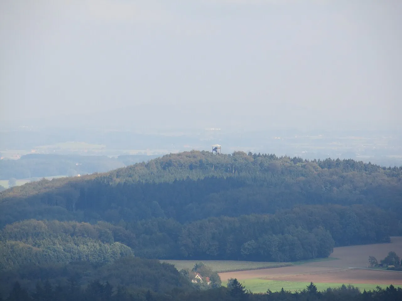
- Elevation
- 224 m
- above sea level
- Local time
- UTC+01:00
- Europe/Berlin · UTC+01:00
- Airports
- FMO Münster Osnabrück Airport40 km
- PAD Paderborn Lippstadt Airport64 km
About Beutling
Beutling is a mountain. Location: Melle, Landkreis Osnabrück. Elevation: 224 m. The best months to visit are June–August. The nearest airport is Münster Osnabrück Airport (40 km). Nearby sights include Steinbrink and Ascheregge.
Climate of Beutling
Best months for sightseeingBest months for sightseeing: June–August.
This month · November
A cold month
Day 7° · Night 2° · Rain 72 mm
- Hottest month
- August (day 22°)
- Coldest month
- February (night -2°)
- Wettest month
- December (82 mm)
- Driest month
- April (49 mm)
Bars: average monthly low and high temperature. Below: precipitation. Monthly averages for 1970–2000 at about 18 km resolution, adjusted for elevation. Highlighted months are mild and relatively dry. Source: WorldClim 2.1 (CC BY 4.0).
Show values as a table
| Month | Jan | Feb | Mar | Apr | May | Jun | Jul | Aug | Sep | Oct | Nov | Dec |
|---|---|---|---|---|---|---|---|---|---|---|---|---|
| Average high (°C) | 3° | 4° | 8° | 12° | 17° | 19° | 21° | 22° | 17° | 13° | 7° | 4° |
| Average low (°C) | -1° | -2° | 1° | 3° | 7° | 10° | 12° | 12° | 9° | 5° | 2° | 0° |
| Precipitation (mm) | 76 | 53 | 69 | 49 | 62 | 77 | 75 | 70 | 70 | 67 | 72 | 82 |
How to get to Beutling
The nearest airport is Münster Osnabrück Airport (FMO), 40 km to the west as the crow flies. The nearest large city is Osnabrück, 21 km to the northwest.
Airports
- Münster Osnabrück Airport (FMO) Greven 40 kmwest
- Paderborn Lippstadt Airport (PAD) Büren 64 kmsouth
- Dortmund Airport (DTM) Dortmund 83 kmsouthwest
Nearby large cities
- Osnabrück Population: 166.5K 21 kmnorthwest
- Bielefeld Population: 331.9K 22 kmsoutheast
- Münster Population: 308.3K 48 kmsouthwest
- Paderborn Population: 142.2K 58 kmsoutheast
- Hamm Population: 179K 60 kmsouthwest
Straight-line distances; road distances are longer. Airport data: OurAirports.
Day trips from Beutling
Within 100 km: 221 historic and cultural sites, 2,367 natural sites, 743 lakes, rivers and coasts.
0–25 km199 places
- Rubbenbruchsee Lake 25 kmNW
- Silberberg Mountain 23 kmW
- Schwarzer Brink Mountain 20 kmNE
- Limberg Mountain 23 kmNE
25–60 km723 places
- Werse River 42 kmW
- Grimke River 53 kmSE
- Ahse River 59 kmSW
- Kleines Heiliges Meer Lake 49 kmNW
60–100 km2,409 places
- Erpe River 100 kmSE
- Else River 93 kmSW
- Valme River 88 kmS
- Ohe River 99 kmE
Straight-line distances.
Nearest towns and villages
-
Placke Village, Melle0.6 km NW
-
Wellingholzhausen Village, Melle1.3 km N
-
 Dissen am Teutoburger Wald Village, Landkreis Osnabrück5.6 km SW
-
Orthöfen Village, Melle1.4 km NW
-
Handarpe Village, Melle1.7 km NE
-
Kerßenbrock Village, Melle2.1 km E
Nearby attractions & nature
Everything nearby-
Steinbrink Mountain, Dissen am Teutoburger Wald2.2 km SW
-
Ascheregge Mountain, Dissen am Teutoburger Wald2.9 km SW
-
Neuenkirchener Berg Mountain, Melle3 km SE
-
Sahlbrink Mountain, Dissen am Teutoburger Wald3.2 km SW
-
Baumgarten Natural site, Lower Saxony2.6 km SW
-
Rehquelle Natural site, Lower Saxony2.7 km W
-
Hülsbrink Mountain, Melle3.5 km W
-
Steinegge Mountain, Dissen am Teutoburger Wald3.6 km SW
Sources & licences
Data last updated: · 2 independent sources