- Elevation
- 88 m
- above sea level
- Local time
- UTC+01:00
- Europe/Berlin · UTC+01:00
- Airports
- FMO Münster Osnabrück Airport41 km
- PAD Paderborn Lippstadt Airport71 km
About Gesmold
Gesmold is a village. Location: Melle, Landkreis Osnabrück. Elevation: 88 m.
Gesmold is a town and former municipality, now part of Melle, in the district of Osnabrück, in Lower Saxony, Germany. It is placed between the Wiehengebirge and the Teutoburg Forest. It features Gesmold Castle, a Renaissance building. Another interesting place is the Church of St. Peter.
Source: Wikipedia · CC BY-SA 4.0
Photos of Gesmold
-
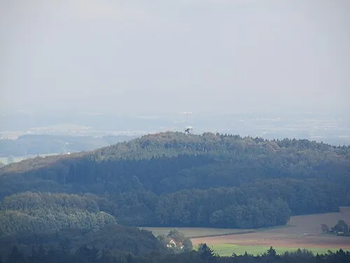
Beutling Sail over · CC BY-SA 3.0

Climate of Gesmold
Best months for sightseeingBest months for sightseeing: June–August.
This month · November
A cold month
Day 8° · Night 3° · Rain 73 mm
- Hottest month
- August (day 22°)
- Coldest month
- February (night -1°)
- Wettest month
- December (85 mm)
- Driest month
- April (50 mm)
Bars: average monthly low and high temperature. Below: precipitation. Monthly averages for 1970–2000 at about 18 km resolution, adjusted for elevation. Highlighted months are mild and relatively dry. Source: WorldClim 2.1 (CC BY 4.0).
Show values as a table
| Month | Jan | Feb | Mar | Apr | May | Jun | Jul | Aug | Sep | Oct | Nov | Dec |
|---|---|---|---|---|---|---|---|---|---|---|---|---|
| Average high (°C) | 4° | 5° | 8° | 12° | 18° | 20° | 22° | 22° | 18° | 13° | 8° | 5° |
| Average low (°C) | -1° | -1° | 2° | 4° | 8° | 11° | 13° | 13° | 10° | 6° | 3° | 1° |
| Precipitation (mm) | 79 | 53 | 71 | 50 | 60 | 80 | 75 | 67 | 71 | 69 | 73 | 85 |
How to get to Gesmold
The nearest airport is Münster Osnabrück Airport (FMO), 41 km to the west as the crow flies. The nearest large city is Osnabrück, 17 km to the northwest.
Airports
- Münster Osnabrück Airport (FMO) Greven 41 kmwest
- Paderborn Lippstadt Airport (PAD) Büren 71 kmsouth
- Dortmund Airport (DTM) Dortmund 89 kmsouthwest
Nearby large cities
- Osnabrück Population: 166.5K 17 kmnorthwest
- Bielefeld Population: 331.9K 27 kmsoutheast
- Münster Population: 308.3K 52 kmsouthwest
- Paderborn Population: 142.2K 64 kmsoutheast
- Hamm Population: 179K 67 kmsouthwest
Straight-line distances; road distances are longer. Airport data: OurAirports.
Day trips from Gesmold
Within 100 km: 219 historic and cultural sites, 2,202 natural sites, 762 lakes, rivers and coasts.
0–25 km201 places
- Rubbenbruchsee Lake 21 kmNW
- Silberberg Mountain 22 kmW
- Schwarzer Brink Mountain 15 kmNE
- Schleptruper Egge Mountain 25 kmNW
25–60 km745 places
- Werse River 45 kmSW
- Grimke River 58 kmSE
- Kleines Heiliges Meer Lake 46 kmW
- Großes Heiliges Meer Lake 46 kmW
60–100 km2,237 places
- Else River 99 kmSW
- Valme River 95 kmS
- Ohe River 99 kmE
- Naure River 95 kmSE
Straight-line distances.
Nearby attractions & nature
Everything nearby-
Uhlenbach River, Lower Saxony1.1 km SW
-
Bornsbrink Mountain, Melle2.2 km SE
-
Breyel Mountain, Melle3.2 km W
-
Königsbach River, Lower Saxony1.9 km SW
-
Nierenbach River, Lower Saxony1.9 km SW
-
Holtingbanken Mountain, Bissendorf4.2 km W
Sources & licences
Data last updated: · 2 independent sources