- Elevation
- 330 m
- above sea level
- Local time
- UTC+01:00
- Europe/Berlin · UTC+01:00
- Airports
- HAJ Hannover Airport32 km
- KSF Kassel Airport86 km
About Burgberg
Burgberg is a mountain. Location: Springe, Region Hannover. Elevation: 330 m. The best months to visit are June–August. The nearest airport is Hannover Airport (32 km). Nearby sights include Grasberg and Schierer Brink.
Climate of Burgberg
Best months for sightseeingBest months for sightseeing: June–August.
This month · November
A cold month
Day 6° · Night 1° · Rain 60 mm
- Hottest month
- August (day 21°)
- Coldest month
- February (night -3°)
- Wettest month
- June (74 mm)
- Driest month
- February (46 mm)
Bars: average monthly low and high temperature. Below: precipitation. Monthly averages for 1970–2000 at about 18 km resolution, adjusted for elevation. Highlighted months are mild and relatively dry. Source: WorldClim 2.1 (CC BY 4.0).
Show values as a table
| Month | Jan | Feb | Mar | Apr | May | Jun | Jul | Aug | Sep | Oct | Nov | Dec |
|---|---|---|---|---|---|---|---|---|---|---|---|---|
| Average high (°C) | 2° | 3° | 7° | 11° | 17° | 19° | 21° | 21° | 17° | 12° | 6° | 4° |
| Average low (°C) | -3° | -3° | 0° | 2° | 6° | 9° | 11° | 11° | 8° | 5° | 1° | -1° |
| Precipitation (mm) | 63 | 46 | 60 | 50 | 59 | 74 | 69 | 67 | 61 | 56 | 60 | 72 |
How to get to Burgberg
The nearest airport is Hannover Airport (HAJ), 32 km to the north as the crow flies. The nearest large city is Hanover, 24 km to the northeast.
Airports
- Hannover Airport (HAJ) Hannover 32 kmnorth
- Kassel Airport (KSF) Calden 86 kmsouth
- Paderborn Lippstadt Airport (PAD) Büren 91 kmsouthwest
Nearby large cities
- Hanover Population: 515.1K 24 kmnortheast
- Salzgitter Population: 105K 58 kmeast
- Braunschweig Population: 244.7K 66 kmeast
- Bielefeld Population: 331.9K 73 kmwest
- Paderborn Population: 142.2K 76 kmsouthwest
Straight-line distances; road distances are longer. Airport data: OurAirports.
Nearest towns and villages
-
Springe Town, Springe3.4 km N
-
Alvesrode Village, Springe3.3 km NE
-
Sedemünder Village, Springe3.4 km W
-
Coppenbrügge, Flecken Village, Landkreis Hameln-Pyrmont7.1 km S
-
Altenhagen Eins Village, Springe3.8 km W
-
Dahle Village, Springe3.9 km NW
Nearby attractions & nature
Everything nearby-
Grasberg Mountain, Coppenbrügge, Flecken1.7 km S
-
Schierer Brink Mountain, Coppenbrügge, Flecken1.7 km SW
-
Raher-Berg Mountain, Springe2 km NW
-
Nesselberg Mountain, Coppenbrügge, Flecken2 km S
-
Mangel Mountain, Coppenbrügge, Flecken2.3 km S
-
Drakenberg Mountain, Springe2.4 km SE
-
Elmschebruch Natural site, Lower Saxony3.5 km SE
-
Holenberg Mountain, Springe5.3 km SE
More nature in Germany
-
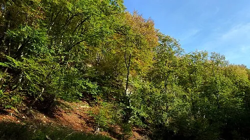 Bielstein Mountain, Springe6.4 km N
-
Fahrenbrink Mountain, Springe5.9 km NW
-
Hoher Stuhl Mountain, Springe6.6 km SE
-
Dahberg Mountain, Springe6.9 km NE
-
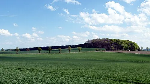 Haarberg Mountain, Springe8.5 km E
-
Eber-Berg Mountain, Springe4.9 km NW
Sources & licences
Data last updated: · 2 independent sources