Vorpommern-Greifswald
Located in Mecklenburg-Vorpommern, Germany Coordinates: 53°46′46″ N 13°53′00″ E
- Population
- 225,867
- 225.9K
- Elevation
- 1 m
- above sea level
- Local time
- UTC+01:00
- Europe/Berlin · UTC+01:00
- Places inside
- 132
- listed under Vorpommern-Greifswald
- Airports
- HDF Heringsdorf Airport21 km
- SZZ Solidarity Szczecin–Goleniów Airport71 km
About Vorpommern-Greifswald
Vorpommern-Greifswald is a municipality. Location: Mecklenburg-Vorpommern, Germany. Population: 225,867. Elevation: 1 m.
Vorpommern-Greifswald is a district in the east of Mecklenburg-Vorpommern, Germany. It is bounded by (from the west and clockwise) the districts of Mecklenburgische Seenplatte and Vorpommern-Rügen, the Baltic Sea, Poland (West Pomeranian Voivodeship) and the state of Brandenburg. The district seat is the University and Hanseatic City of Greifswald. A lake called Berliner See is found in the district.
Source: Wikipedia · CC BY-SA 4.0
Photos of Vorpommern-Greifswald
-
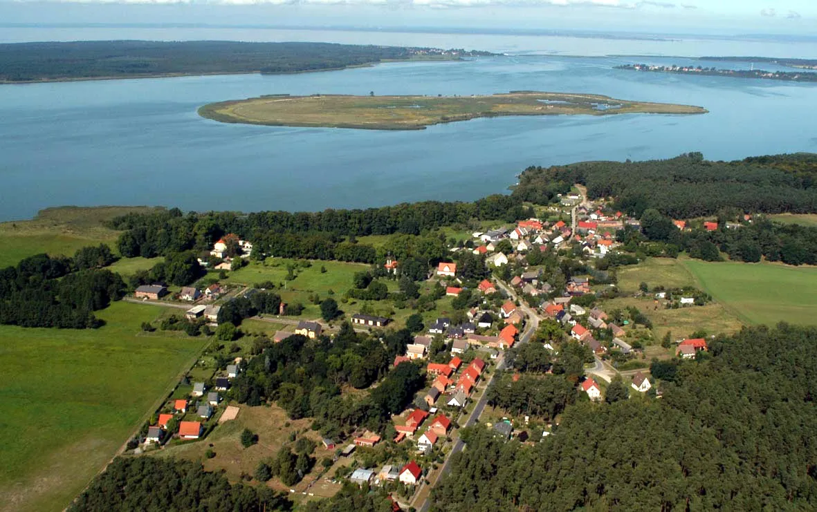
Riether Werder Walter Graupner · CC BY-SA 3.0 -
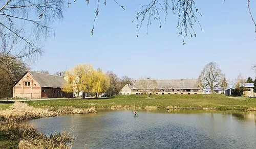
Dorfteich Quilow J2hcom · CC BY-SA 4.0 -
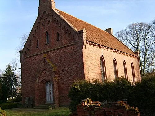
Dorfkirche Quilow Chron-Paul · CC BY-SA 3.0 -
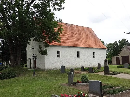
Dorfkirche Klein Bünzow Assenmacher · CC BY-SA 4.0 -
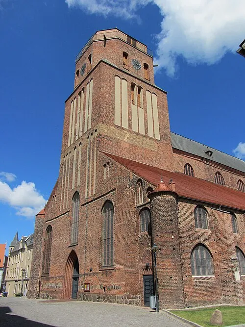
St. Petri Niteshift · CC BY-SA 3.0


Places bordering Vorpommern-Greifswald
- Landkreis Vorpommern-Rügen
Population of Vorpommern-Greifswald over time
| 2016 | 237,374 | |
|---|---|---|
| 2019 | 236,697 | |
| 2022 | 237,355 |
Censuses and official estimates; source: Wikidata.
Climate of Vorpommern-Greifswald
Best months for sightseeingBest months for sightseeing: June–August.
This month · November
A cold month
Day 7° · Night 2° · Rain 41 mm
- Hottest month
- July (day 22°)
- Coldest month
- January (night -3°)
- Wettest month
- July (62 mm)
- Driest month
- February (29 mm)
Bars: average monthly low and high temperature. Below: precipitation. Monthly averages for 1970–2000 at about 18 km resolution, adjusted for elevation. Highlighted months are mild and relatively dry. Source: WorldClim 2.1 (CC BY 4.0).
Show values as a table
| Month | Jan | Feb | Mar | Apr | May | Jun | Jul | Aug | Sep | Oct | Nov | Dec |
|---|---|---|---|---|---|---|---|---|---|---|---|---|
| Average high (°C) | 2° | 3° | 7° | 11° | 17° | 20° | 22° | 22° | 18° | 13° | 7° | 4° |
| Average low (°C) | -3° | -2° | 0° | 3° | 7° | 11° | 13° | 13° | 9° | 6° | 2° | -1° |
| Precipitation (mm) | 37 | 29 | 36 | 32 | 52 | 60 | 62 | 60 | 49 | 40 | 41 | 40 |
How to get to Vorpommern-Greifswald
The nearest airport is Heringsdorf Airport (HDF), 21 km to the northeast as the crow flies. For international flights: Solidarity Szczecin–Goleniów Airport (SZZ) (71 km). The nearest large city is Rostock, 120 km to the west.
Airports
- Heringsdorf Airport (HDF) Zirchow 21 kmnortheast
- Solidarity Szczecin–Goleniów Airport (SZZ) Szczecin(Glewice) 71 kmeast
- Rostock-Laage Airport (RLG) Laage 107 kmwest
Nearby large cities
- Rostock Population: 198.3K 120 kmwest
- Berlin Population: 3.4M 143 kmsouth
- Potsdam Population: 184.8K 163 kmsouth
- Lübeck Population: 212.2K 211 kmwest
- Malmö Population: 362.1K 211 kmnorth
Straight-line distances; road distances are longer. Airport data: OurAirports.
Day trips from Vorpommern-Greifswald
Within 100 km: 180 historic and cultural sites, 1,532 natural sites, 1,157 lakes, rivers and coasts.
0–25 km189 places
- Usedom Island Island 22 kmNE
- Werder Island 19 kmN
- Böhmke Island 21 kmNE
- Werder Island 21 kmNE
25–60 km707 places
- Ruden Island 48 kmN
- Wolin Island 43 kmE
- Insel Görmitz Island 27 kmN
- Greifswalder Oie Island 52 kmN
60–100 km1,973 places
- Hiddensee Island 99 kmNW
- Ummanz Island 90 kmNW
- Vilm Island 65 kmN
- Grabow Lake 96 kmNW
Straight-line distances.
Vorpommern-Greifswald and similar cities
Side by side with cities of similar size in the same country: population, elevation and climate.
| Measure | Vorpommern-Greifswald | Mainz | Oberhausen | Erfurt |
|---|---|---|---|---|
| Population | 225.9K | 222.9K | 219.2K | 218.8K |
| Elevation | 1 m | 125 m | 44 m | 194 m |
| Summer day (hottest month) | 22° | 25° | 23° | 24° |
| Winter night (coldest month) | -3° | -1° | 1° | -2° |
| Annual rainfall | 538 mm | 587 mm | 883 mm | 584 mm |
| Best months | Jun–Aug | May–Sep | Jun–Aug | Jun–Sep |
| Distance | — | 572 km | 540 km | 367 km |
Climate values are 1970–2000 monthly averages; straight-line distance.
Places in Vorpommern-Greifswald
132 places- 61 Boldekow 622
- 62 Rubkow 617
- 63 Krackow 608
- 64 Ahlbeck 603
- 65 Zirchow 603
- 66 Zemitz 595
- 67 Boock 594
- 68 Katzow 593
- 69 Rothenklempenow 592
- 70 Leopoldshagen 590
- 71 Korswandt 573
- 72 Blankensee 570
- 73 Neu Boltenhagen 566
- 74 Bandelin 561
- 75 Dargen 548
- 76 Völschow 537
- 77 Luckow 527
- 78 Rankwitz 510
- 79 Medow 504
- 80 Pudagla 472
- 81 Krugsdorf 471
- 82 Neu Kosenow 459
- 83 Hammer an der Uecker 454
- 84 Mellenthin 445
- 85 Rossow 443
- 86 Butzow 437
- 87 Lütow 432
- 88 Grambin 428
- 89 Ziethen 419
- 90 Altwarp 406
- 91 Levenhagen 403
- 92 Sauzin 398
- 93 Meiersberg 389
- 94 Schönwalde 389
- 95 Vogelsang-Warsin 373
- 96 Groß Polzin 370
- 97 Peenemünde 369
- 98 Nadrensee 367
- 99 Alt Tellin 366
- 100 Altwigshagen 365
- 101 Stolpe auf Usedom 353
- 102 Heinrichswalde 339
- 103 Sarnow 334
- 104 Daberkow 326
- 105 Lübs 311
- 106 Bergholz 307
- 107 Bargischow 298
- 108 Hintersee 295
- 109 Postlow 295
- 110 Plöwen 291
- 111 Rothemühl 283
- 112 Stolpe an der Peene 272
- 113 Fahrenwalde 270
- 114 Polzow 243
- 115 Blesewitz 239
- 116 Bugewitz 238
- 117 Wrangelsburg 232
- 118 Kamminke 229
- 119 Krummin 224
- 120 Neuenkirchen 216
Bar: population relative to the most populous place in this list.
Nearby attractions & nature
Everything nearby-
Anklamer Stadtforst Natural site, Mecklenburg-Vorpommern2.6 km SW
-
Ducherower Wald Natural site, Mecklenburg-Vorpommern3.3 km SW
-
Naturschutzgebiet Anklamer Stadtbruch Natural site, Mecklenburg-Vorpommern3.5 km NW
-
Haffbruch Natural site, Mecklenburg-Vorpommern3.6 km E
-
Stargordtsche Forst Natural site, Mecklenburg-Vorpommern5.1 km S
-
Schleusengraben River, Mecklenburg-Vorpommern5.3 km SW
-
Alter Mühlgraben River, Mecklenburg-Vorpommern6 km NW
-
Flottbeck River, Mecklenburg-Vorpommern7.5 km NW
Other cities and towns in Mecklenburg-Vorpommern
-
Ueckermünde Town, Ueckermünde12 km SE
-
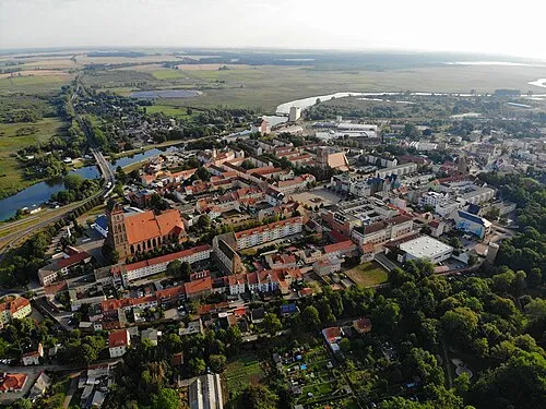 Anklam Town, Anklam15 km NW
-
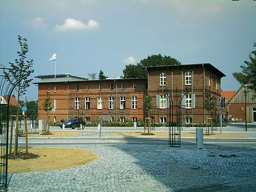 Eggesin Town, Eggesin17 km SE
-
Alt-Sanitz Town, Blesewitz20 km W
-
Torgelow Town, Torgelow18 km SE
-
Kreisfreie Stadt Rostock Municipality, Mecklenburg-Vorpommern122 km W
Sources & licences
Data last updated: · 2 independent sources