- Elevation
- 35 m
- above sea level
- Local time
- UTC+01:00
- Europe/Berlin · UTC+01:00
- Airports
- LBC Lübeck Blankensee Airport49 km
- RLG Rostock-Laage Airport63 km
About Ziegelsee
Ziegelsee is a lake. Location: Mecklenburg-Vorpommern, Germany. Elevation: 35 m. The best months to visit are June–August. The nearest airport is Lübeck Blankensee Airport (49 km). Nearby sights include Schelfwerder and Sachsenberg.
Climate of Ziegelsee
Best months for sightseeingBest months for sightseeing: June–August.
This month · November
A cold month
Day 7° · Night 2° · Rain 55 mm
- Hottest month
- July (day 23°)
- Coldest month
- January (night -2°)
- Wettest month
- July (71 mm)
- Driest month
- February (37 mm)
Bars: average monthly low and high temperature. Below: precipitation. Monthly averages for 1970–2000 at about 18 km resolution, adjusted for elevation. Highlighted months are mild and relatively dry. Source: WorldClim 2.1 (CC BY 4.0).
Show values as a table
| Month | Jan | Feb | Mar | Apr | May | Jun | Jul | Aug | Sep | Oct | Nov | Dec |
|---|---|---|---|---|---|---|---|---|---|---|---|---|
| Average high (°C) | 3° | 4° | 8° | 12° | 18° | 21° | 23° | 23° | 18° | 13° | 7° | 4° |
| Average low (°C) | -2° | -2° | 1° | 3° | 8° | 11° | 13° | 12° | 9° | 6° | 2° | 0° |
| Precipitation (mm) | 49 | 37 | 44 | 42 | 50 | 63 | 71 | 63 | 53 | 46 | 55 | 55 |
How to get to Ziegelsee
The nearest airport is Lübeck Blankensee Airport (LBC), 49 km to the west as the crow flies. For international flights: Hamburg Helmut Schmidt Airport (HAM) (95 km). The nearest large city is Lübeck, 54 km to the northwest.
Airports
- Lübeck Blankensee Airport (LBC) Lübeck 49 kmwest
- Rostock-Laage Airport (RLG) Laage 63 kmnortheast
- Hamburg Helmut Schmidt Airport (HAM) Hamburg 95 kmwest
Nearby large cities
- Lübeck Population: 212.2K 54 kmnorthwest
- Rostock Population: 198.3K 67 kmnortheast
- Kiel Population: 252.7K 112 kmnorthwest
- Wolfsburg Population: 123.1K 144 kmsouth
- Braunschweig Population: 244.7K 166 kmsouth
Straight-line distances; road distances are longer. Airport data: OurAirports.
Day trips from Ziegelsee
Within 100 km: 334 historic and cultural sites, 3,248 natural sites, 1,227 lakes, rivers and coasts.
0–25 km303 places
- Ziegelwerder Island 6 kmSE
- Lieps Island 11 kmN
- Tannenwerder (Toteninsel) Island 5 kmS
- Schwaneninsel Island 3 kmS
25–60 km1,604 places
- Poel Island Island 38 kmN
- Köppernitz River 27 kmN
- Beke River 47 kmNE
- Strand Rosenhagen Beach 47 kmNW
60–100 km2,902 places
- Fehmarn Island 93 kmN
- Viertbusch Natural site 75 kmW
- Hundestrand Beach 62 kmNW
- Hundestrand Dierhagen Ost Beach 95 kmNE
Straight-line distances.
Nearest towns and villages
-
Kreisfreie Stadt Schwerin Municipality, Mecklenburg-Vorpommern3.1 km S
-
Lewenberg Neighbourhood, Schwerin, Landeshauptstadt1.5 km SW
-
Schwerin, Landeshauptstadt Village, Kreisfreie Stadt Schwerin2.8 km S
-
Schelfstadt Neighbourhood, Schwerin, Landeshauptstadt2.4 km S
-
Schwerin City, Schwerin, Landeshauptstadt2.9 km S
-
Werdervorstadt Neighbourhood, Schwerin, Landeshauptstadt1.8 km S
Nearby attractions & nature
Everything nearby-
Schelfwerder Natural site, Mecklenburg-Vorpommern0.9 km NE
-
Sachsenberg Mountain, Schwerin, Landeshauptstadt0.9 km W
-
Heidensee Lake, Mecklenburg-Vorpommern1.3 km S
-
Zeltenberg Mountain, Schwerin, Landeshauptstadt2.1 km SE
-
Aubach River, Schwerin, Landeshauptstadt2.2 km SW
-
Medeweger See Lake, Mecklenburg-Vorpommern2.3 km W
-
Pfaffenteich Lake, Mecklenburg-Vorpommern2.5 km S
-
Schwaneninsel Island, Schwerin, Landeshauptstadt2.8 km S
More lakes, rivers and coasts in Germany
-
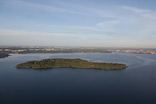 Kaninchenwerder Island, Mecklenburg-Vorpommern4.9 km SE
-
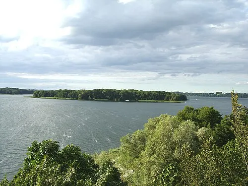 Ziegelwerder Island, Mecklenburg-Vorpommern6 km SE
-
Goldburg Island, Mecklenburg-Vorpommern5.3 km N
-
Lankower See Lake, Mecklenburg-Vorpommern3.4 km SW
-
Burgsee Lake, Mecklenburg-Vorpommern3.5 km S
-
Lake Schwerin Lake, Mecklenburg-Vorpommern3.9 km NE
Sources & licences
Data last updated: