- Elevation
- 511 m
- above sea level
- Local time
- UTC+01:00
- Europe/Berlin · UTC+01:00
- Airports
- MST Maastricht Aachen Airport59 km
- CGN Cologne Bonn Airport64 km
About Funkenberg
Funkenberg is a mountain. Location: Schleiden, Kreis Euskirchen. Elevation: 511 m. The best months to visit are June–August. The nearest airport is Maastricht Aachen Airport (59 km). Nearby sights include Ritzenberg and Klusenberg.
Climate of Funkenberg
Best months for sightseeingBest months for sightseeing: June–August.
This month · November
A cold month
Day 6° · Night 1° · Rain 84 mm
- Hottest month
- August (day 20°)
- Coldest month
- February (night -2°)
- Wettest month
- January (90 mm)
- Driest month
- April (64 mm)
Bars: average monthly low and high temperature. Below: precipitation. Monthly averages for 1970–2000 at about 18 km resolution, adjusted for elevation. Highlighted months are mild and relatively dry. Source: WorldClim 2.1 (CC BY 4.0).
Show values as a table
| Month | Jan | Feb | Mar | Apr | May | Jun | Jul | Aug | Sep | Oct | Nov | Dec |
|---|---|---|---|---|---|---|---|---|---|---|---|---|
| Average high (°C) | 3° | 3° | 7° | 10° | 15° | 18° | 20° | 20° | 16° | 12° | 6° | 4° |
| Average low (°C) | -2° | -2° | 0° | 2° | 7° | 9° | 11° | 11° | 9° | 5° | 1° | -1° |
| Precipitation (mm) | 90 | 86 | 87 | 64 | 73 | 74 | 86 | 78 | 77 | 71 | 84 | 90 |
How to get to Funkenberg
The nearest airport is Maastricht Aachen Airport (MST), 59 km to the northwest as the crow flies. The nearest large city is Aachen, 32 km to the northwest.
Airports
- Maastricht Aachen Airport (MST) Maastricht 59 kmnorthwest
- Cologne Bonn Airport (CGN) Köln (Cologne) 64 kmnortheast
- Liège Airport (LGG) Grâce-Hollogne 67 kmwest
Nearby large cities
- Aachen Population: 265.2K 32 kmnorthwest
- Bonn Population: 330.6K 54 kmeast
- Cologne Population: 1M 58 kmnortheast
- Liège Population: 195.3K 58 kmwest
- Maastricht Population: 122.4K 59 kmnorthwest
Straight-line distances; road distances are longer. Airport data: OurAirports.
Day trips from Funkenberg
Within 100 km: 490 historic and cultural sites, 2,282 natural sites, 903 lakes, rivers and coasts.
0–25 km377 places
- Lac d'Eupen Lake 21 kmW
- Lac de Robertville Lake 22 kmSW
- Roderhöhe Mountain 16 kmSW
- Petersberg Mountain 25 kmS
25–60 km1,399 places
- Île du Moulin Island 56 kmW
- Île Monsin Island 54 kmW
- Île de Franche Garenne Island 52 kmW
- Lac de la Gileppe Lake 28 kmW
60–100 km1,899 places
- Lac de Nisramont Lake 69 kmSW
- Schemersberg Mountain 81 kmNW
- Saffraanberg Mountain 84 kmW
- Sacramentsberg Mountain 92 kmNW
Straight-line distances.
Nearest towns and villages
-
Einruhr Village, Simmerath2.9 km N
-
Dreiborn Village, Schleiden2.2 km SE
-
Erkensruhr Village, Simmerath1.7 km NW
-
Berescheid Village, Schleiden3.4 km SE
-
Wollseifen Village, Schleiden4.1 km NE
-
Simmerath Village, Städteregion Aachen8.1 km NW
Nearby attractions & nature
Everything nearby-
Ritzenberg Mountain, Schleiden1.1 km NE
-
Klusenberg Mountain, Schleiden1.4 km E
-
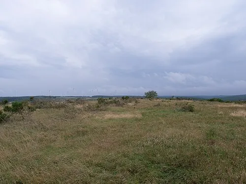 Müsauels-Berg Mountain, Schleiden1.7 km SW
-
Giefling Mountain, Schleiden2.5 km S
-
Helings-Berg Mountain, Schleiden3 km NE
-
Kinneberg Mountain, Schleiden3.7 km N
-
Kleine Hollerscheid Natural site, North Rhine-Westphalia3 km SW
-
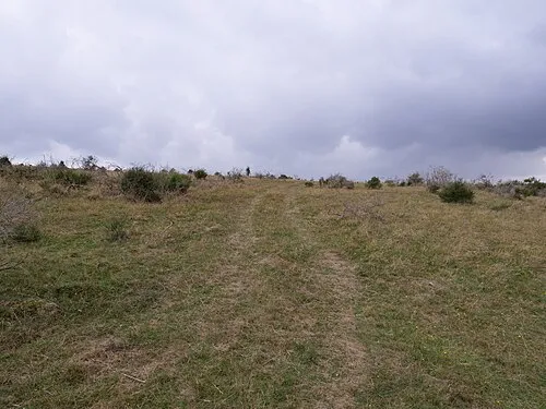 Kellenberg Mountain, Schleiden4.1 km NE
Sources & licences
Data last updated: · 2 independent sources