Kreisfreie Stadt Leverkusen
Local name: Leverkusen
Located in Cologne District, North Rhine-Westphalia Coordinates: 51°03′23″ N 7°01′20″ E
- Population
- 168,581
- 168.6K
- Elevation
- 61 m
- above sea level
- Local time
- UTC+01:00
- Europe/Berlin · UTC+01:00
- Places inside
- 1
- listed under Kreisfreie Stadt Leverkusen
- Airports
- CGN Cologne Bonn Airport23 km
- DUS Düsseldorf Airport31 km
About Kreisfreie Stadt Leverkusen
Kreisfreie Stadt Leverkusen is a municipality. Location: Cologne District, North Rhine-Westphalia. Population: 168,581. Elevation: 61 m.
Leverkusen (German: [ˈleːvɐˌkuːzn̩] ) is a city in North Rhine-Westphalia, Germany, on the eastern bank of the Rhine. To the south, Leverkusen borders the city of Cologne, and to the north the state capital, Düsseldorf. The city is part of the Rhine-Ruhr Metropolitan Region, one of Europe's largest urban areas. With about 168,000 inhabitants, Leverkusen is one of the state's smaller cities. The city is known for the pharmaceutical company Bayer and its sports club Bayer Leverkusen.
Source: Wikipedia · CC BY-SA 4.0
Photos of Kreisfreie Stadt Leverkusen
-
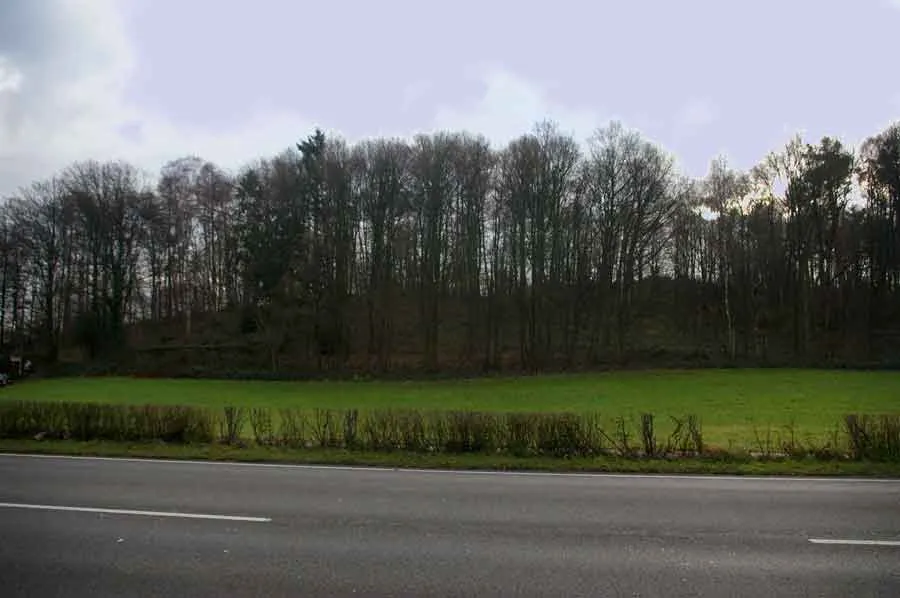
Wenzelnberg Ritter-pitter · Public domain

Places bordering Kreisfreie Stadt Leverkusen
- Cologne
Twin towns and sister cities of Kreisfreie Stadt Leverkusen
- Oulu· Finland
- Ljubljana· Slovenia
Source: Wikidata. Only places with a page on this site are shown.
Population of Kreisfreie Stadt Leverkusen over time
| 1975 | 165,947 | |
|---|---|---|
| 2014 | 162,738 | |
| 2015 | 175,300 | |
| 2016 | 163,113 | |
| 2017 | 163,577 | |
| 2019 | 163,838 | |
| 2021 | 163,905 | |
| 2022 | 165,748 | |
| 2023 | 166,414 | |
| 2024 | 168,581 | |
| 2025 | 168,299 |
Censuses and official estimates; source: Wikidata.
Climate of Kreisfreie Stadt Leverkusen
Best months for sightseeingBest months for sightseeing: June–August.
This month · November
A cold month
Day 9° · Night 4° · Rain 87 mm
- Hottest month
- July (day 23°)
- Coldest month
- February (night 0°)
- Wettest month
- December (96 mm)
- Driest month
- April (64 mm)
Bars: average monthly low and high temperature. Below: precipitation. Monthly averages for 1970–2000 at about 18 km resolution, adjusted for elevation. Highlighted months are mild and relatively dry. Source: WorldClim 2.1 (CC BY 4.0).
Show values as a table
| Month | Jan | Feb | Mar | Apr | May | Jun | Jul | Aug | Sep | Oct | Nov | Dec |
|---|---|---|---|---|---|---|---|---|---|---|---|---|
| Average high (°C) | 5° | 6° | 10° | 13° | 19° | 21° | 23° | 23° | 19° | 14° | 9° | 6° |
| Average low (°C) | 0° | 0° | 3° | 5° | 9° | 12° | 14° | 13° | 11° | 7° | 4° | 2° |
| Precipitation (mm) | 87 | 65 | 85 | 64 | 75 | 93 | 92 | 76 | 82 | 81 | 87 | 96 |
How to get to Kreisfreie Stadt Leverkusen
The nearest airport is Cologne Bonn Airport (CGN), 23 km to the south as the crow flies. The nearest large city is Leverkusen, 4 km to the southwest.
Airports
- Cologne Bonn Airport (CGN) Köln (Cologne) 23 kmsouth
- Düsseldorf Airport (DUS) Düsseldorf 31 kmnorthwest
- Dortmund Airport (DTM) Dortmund 66 kmnortheast
Nearby large cities
- Leverkusen Population: 162.7K 4 kmsouthwest
- Bergisch Gladbach Population: 106.2K 11 kmsoutheast
- Solingen Population: 164.4K 14 kmnorth
- Cologne Population: 1M 15 kmsouth
- Remscheid Population: 117.1K 18 kmnortheast
Straight-line distances; road distances are longer. Airport data: OurAirports.
Day trips from Kreisfreie Stadt Leverkusen
Within 100 km: 520 historic and cultural sites, 2,769 natural sites, 843 lakes, rivers and coasts.
0–25 km177 places
- Dhünntalsperre Lake 13 kmE
- Sengbachtalsperre Lake 11 kmNE
- Balgheimersee Lake 17 kmW
- Decksteiner Weiher Lake 19 kmSW
25–60 km951 places
- Else River 57 kmNE
- Kemper Werth Island 33 kmS
- Versetalsperre Lake 48 kmE
- Schönwasser Lake 44 kmNW
60–100 km3,004 places
- Lac de la Gileppe Lake 90 kmSW
- Lac d'Eupen Lake 81 kmSW
- Lac de Robertville Lake 93 kmSW
- Schartenknopf Mountain 93 kmSW
Straight-line distances.
Kreisfreie Stadt Leverkusen and similar cities
Side by side with cities of similar size in the same country: population, elevation and climate.
| Measure | Kreisfreie Stadt Leverkusen | Darmstadt | Osnabrück | Herne |
|---|---|---|---|---|
| Population | 168.6K | 167K | 166.5K | 172.1K |
| Elevation | 61 m | 148 m | 65 m | 67 m |
| Summer day (hottest month) | 23° | 25° | 22° | 24° |
| Winter night (coldest month) | 0° | -1° | 0° | 0° |
| Annual rainfall | 983 mm | 638 mm | 855 mm | 888 mm |
| Best months | Jun–Aug | May–Sep | Jun–Aug | Jun–Aug |
| Distance | — | 175 km | 153 km | 56 km |
Climate values are 1970–2000 monthly averages; straight-line distance.
Places in Kreisfreie Stadt Leverkusen
1 placeBar: population relative to the most populous place in this list.
Nearby attractions & nature
Everything nearby-
Wupper River, North Rhine-Westphalia4.2 km W
-
Dhünn River River, North Rhine-Westphalia4.2 km W
-
Wenzelnberg Mountain, Langenfeld (Rheinland)7.7 km N
-
Spürklenberg Mountain, Langenfeld (Rheinland)7.2 km N
-
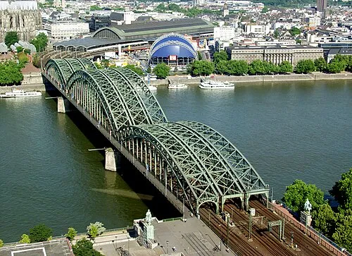 bridge Hohenzollern Landmark, Cologne13 km S
-
Köln-Niehl Concentration Camp (Köln-Ford) Historic site, Cologne8 km SW
-
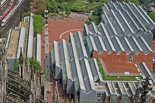 Museum Ludwig Museum, Cologne14 km S
-
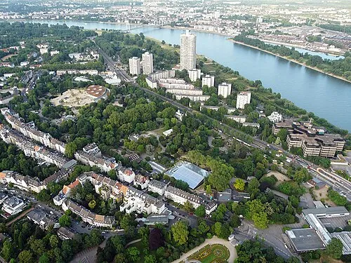 Zoo Cologne Attraction, Cologne11 km S
Other cities and towns in Cologne District
-
Cologne, Urban District Municipality, Cologne District14 km S
-
Opladen Town, Leverkusen1.9 km NW
-
Rheinisch-Bergischer Kreis Municipality, Cologne District13 km E
-
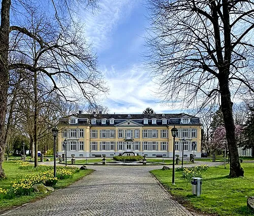 Leverkusen City, Leverkusen3.9 km SW
-
Burscheid Town, Burscheid7.2 km NE
-
Odenthal Town, Odenthal7.1 km E
Sources & licences
Data last updated: · 2 independent sources