
- Elevation
- 77 m
- above sea level
- Local time
- UTC+01:00
- Europe/Berlin · UTC+01:00
- Airports
- DUS Düsseldorf Airport42 km
- CGN Cologne Bonn Airport47 km
About Oberembt
Oberembt is a village. Location: Elsdorf, Rhein-Erft-Kreis. Elevation: 77 m. The best months to visit are June–August. The nearest airport is Düsseldorf Airport (42 km). Nearby sights include Höller Horn and Steinstraßer Wall.
At a glance
- Area
- 8.3 km²
Source: Wikidata
Photos of Oberembt
-

Lowcarb23 · CC BY-SA 4.0 -

Grimmdrei · CC BY-SA 3.0 -

Hoebele · CC BY-SA 4.0 -

Hoebele · CC BY-SA 4.0 -

Doris Antony , Berlin · CC BY-SA 4.0


Climate of Oberembt
Best months for sightseeingBest months for sightseeing: June–August.
This month · November
A cold month
Day 9° · Night 3° · Rain 61 mm
- Hottest month
- August (day 23°)
- Coldest month
- February (night 0°)
- Wettest month
- July (72 mm)
- Driest month
- February (50 mm)
Bars: average monthly low and high temperature. Below: precipitation. Monthly averages for 1970–2000 at about 18 km resolution, adjusted for elevation. Highlighted months are mild and relatively dry. Source: WorldClim 2.1 (CC BY 4.0).
Show values as a table
| Month | Jan | Feb | Mar | Apr | May | Jun | Jul | Aug | Sep | Oct | Nov | Dec |
|---|---|---|---|---|---|---|---|---|---|---|---|---|
| Average high (°C) | 5° | 6° | 10° | 13° | 18° | 21° | 23° | 23° | 19° | 14° | 9° | 6° |
| Average low (°C) | 0° | 0° | 3° | 5° | 9° | 12° | 13° | 13° | 10° | 7° | 3° | 2° |
| Precipitation (mm) | 54 | 50 | 56 | 50 | 68 | 70 | 72 | 67 | 58 | 55 | 61 | 61 |
How to get to Oberembt
The nearest airport is Düsseldorf Airport (DUS), 42 km to the northeast as the crow flies. The nearest large city is Mönchengladbach, 26 km to the north.
Airports
- Düsseldorf Airport (DUS) Düsseldorf 42 kmnortheast
- Cologne Bonn Airport (CGN) Köln (Cologne) 47 kmeast
- Maastricht Aachen Airport (MST) Maastricht 51 kmwest
Nearby large cities
- Mönchengladbach Population: 261.7K 26 kmnorth
- Neuss Population: 152.5K 30 kmnortheast
- Cologne Population: 1M 32 kmeast
- Aachen Population: 265.2K 35 kmsouthwest
- Leverkusen Population: 162.7K 35 kmeast
Straight-line distances; road distances are longer. Airport data: OurAirports.
Day trips from Oberembt
Within 100 km: 482 historic and cultural sites, 2,065 natural sites, 885 lakes, rivers and coasts.
0–25 km85 places
- Lucherberger See Lake 15 kmSW
- Vöckelsberg Mountain 21 kmSW
- Pferdskopf Mountain 25 kmS
- Knosterberg Mountain 22 kmSW
25–60 km967 places
- Lac de la Gileppe Lake 55 kmSW
- Lac d'Eupen Lake 47 kmSW
- Roderhöhe Mountain 60 kmS
- Kodenhüvel Mountain 58 kmS
60–100 km2,380 places
- Île du Moulin Island 77 kmSW
- Île Monsin Island 69 kmSW
- Île de Franche Garenne Island 64 kmSW
- Lac de Robertville Lake 63 kmSW
Straight-line distances.
Nearby attractions & nature
Everything nearby-
Höller Horn Mountain, Titz3.7 km SW
-
Steinstraßer Wall Mountain, Jülich4.3 km SW
-
Jülicher Kopf Mountain, Jülich4.6 km SW
-
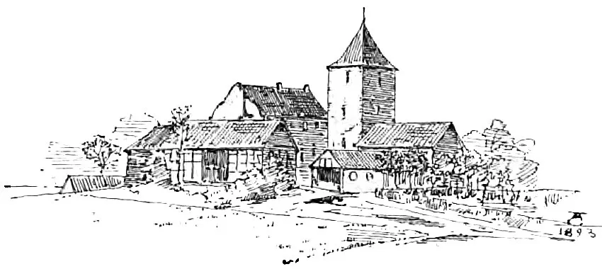 Reuschenberg Historic site, Elsdorf5.3 km SE
-
Escher Bürge Natural site, North Rhine-Westphalia4.8 km S
-
Großer Forst Natural site, North Rhine-Westphalia5 km SW
Other cities and towns in Elsdorf
-
Esch Village, Elsdorf3.9 km SE
-
 Etzweiler Village, Elsdorf7.3 km SE
-
Giesendorf Village, Elsdorf6.7 km SE
-
Niederembt Village, Elsdorf3.5 km E
-
Grouven Village, Elsdorf8.1 km E
-
Angelsdorf Village, Elsdorf4.6 km SE
Sources & licences
Data last updated: · 2 independent sources