- Elevation
- 283 m
- above sea level
- Local time
- UTC+01:00
- Europe/Berlin · UTC+01:00
- Airports
- CGN Cologne Bonn Airport24 km
- DUS Düsseldorf Airport78 km
About Schellkopf
Schellkopf is a mountain. Location: Bad Honnef, Rhein-Sieg-Kreis. Elevation: 283 m. The best months to visit are June–August. The nearest airport is Cologne Bonn Airport (24 km). Nearby sights include Einsiedlers-Kopf and Scheerkopf.
Photos of Schellkopf
-
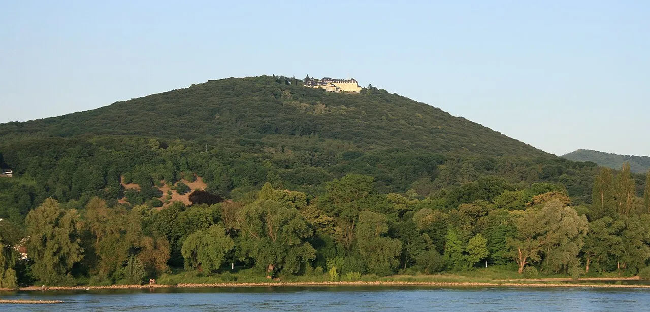
Petersberg Sir James · CC BY-SA 3.0 -
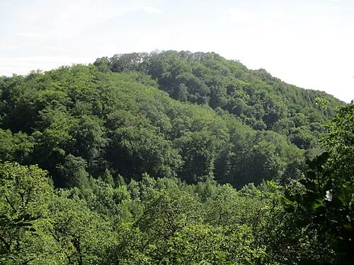
Ölender Leit · CC BY-SA 4.0 -
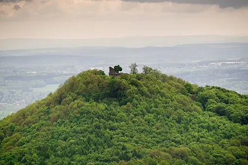
Löwenburg barit · CC BY-SA 2.0 -
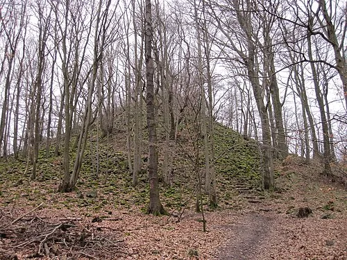
Leyberg Wander.Blog · CC BY-SA 4.0 -
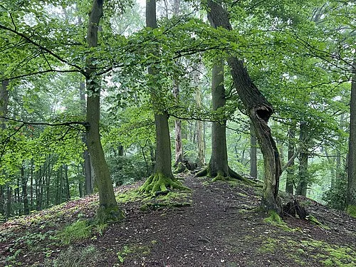
Jungfernhardt Lukas Beck · CC BY 4.0


Climate of Schellkopf
Best months for sightseeingBest months for sightseeing: June–August.
This month · November
A cold month
Day 8° · Night 2° · Rain 69 mm
- Hottest month
- July (day 22°)
- Coldest month
- February (night -2°)
- Wettest month
- July (86 mm)
- Driest month
- February (53 mm)
Bars: average monthly low and high temperature. Below: precipitation. Monthly averages for 1970–2000 at about 18 km resolution, adjusted for elevation. Highlighted months are mild and relatively dry. Source: WorldClim 2.1 (CC BY 4.0).
Show values as a table
| Month | Jan | Feb | Mar | Apr | May | Jun | Jul | Aug | Sep | Oct | Nov | Dec |
|---|---|---|---|---|---|---|---|---|---|---|---|---|
| Average high (°C) | 4° | 5° | 9° | 13° | 18° | 20° | 22° | 22° | 18° | 13° | 8° | 5° |
| Average low (°C) | -2° | -2° | 1° | 3° | 7° | 10° | 12° | 11° | 8° | 5° | 2° | 0° |
| Precipitation (mm) | 67 | 53 | 68 | 55 | 71 | 83 | 86 | 65 | 68 | 66 | 69 | 76 |
How to get to Schellkopf
The nearest airport is Cologne Bonn Airport (CGN), 24 km to the north as the crow flies. The nearest large city is Bonn, 14 km to the northwest.
Airports
- Cologne Bonn Airport (CGN) Köln (Cologne) 24 kmnorth
- Düsseldorf Airport (DUS) Düsseldorf 78 kmnorthwest
- Frankfurt-Hahn Airport (HHN) Frankfurt am Main (Lautzenhausen) 80 kmsouth
Nearby large cities
- Bonn Population: 330.6K 14 kmnorthwest
- Bergisch Gladbach Population: 106.2K 37 kmnorth
- Cologne Population: 1M 37 kmnorthwest
- Koblenz Population: 107.3K 41 kmsoutheast
- Leverkusen Population: 162.7K 45 kmnorthwest
Straight-line distances; road distances are longer. Airport data: OurAirports.
Day trips from Schellkopf
Within 100 km: 665 historic and cultural sites, 3,712 natural sites, 903 lakes, rivers and coasts.
0–25 km306 places
- Kemper Werth Island 17 kmNW
- Wahnbachtalsperre Lake 16 kmN
- Rotter See Lake 19 kmNW
- Rodder Maar Lake 23 kmS
25–60 km1,642 places
- Olef River 55 kmW
- Weibe River 49 kmNE
- Urbach River 25 kmSE
- Hatzenporter Werth Island 50 kmS
60–100 km3,332 places
- Lac de la Gileppe Lake 91 kmW
- Lac d'Eupen Lake 83 kmW
- Lac de Robertville Lake 85 kmW
- Steinkopf Mountain 94 kmSW
Straight-line distances.
Nearest towns and villages
-
 Aegidienberg Village, Bad Honnef2.6 km E
-
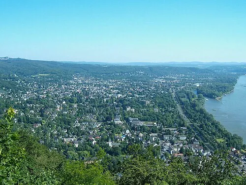 Bad Honnef Town, Bad Honnef3.8 km SW
-
 Heisterbacherrott Village, Königswinter4 km NW
-
 Oberpleis Village, Königswinter4.6 km N
-
Hövel Village, Bad Honnef2.1 km E
-
 Ittenbach Village, Königswinter1.4 km N
Nearby attractions & nature
Everything nearby-
Einsiedlers-Kopf Mountain, Bad Honnef0.3 km S
-
Scheerkopf Mountain, Bad Honnef0.7 km NW
-
Löwenburg Mountain, Bad Honnef1.2 km W
-
Lohrberg Mountain, Königswinter1.4 km NW
-
Merkens-Höhe Mountain, Bad Honnef1 km W
-
Poß-Berg Mountain, Bad Honnef1 km SW
-
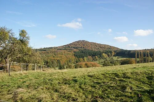 Großer Ölberg Mountain, Königswinter2.2 km NW
-
Trenkeberg Mountain, Bad Honnef1.1 km W
More nature in Germany
-
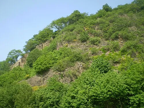 Himmerich Mountain, Bad Honnef2.6 km S
-
Ölender Mountain, Bad Honnef2 km W
-
Jungfernhardt Mountain, Bad Honnef2.1 km W
-
Leyberg Mountain, Bad Honnef3.8 km S
-
Fritscheshardt Mountain, Bad Honnef1.8 km W
-
Wingstberg Mountain, Bad Honnef2.1 km S
Sources & licences
Data last updated: · 2 independent sources