Kreis Kleve
Located in Düsseldorf District, North Rhine-Westphalia Coordinates: 51°37′41″ N 6°13′45″ E
- Population
- 322,018
- 322K
- Elevation
- 18 m
- above sea level
- Local time
- UTC+01:00
- Europe/Berlin · UTC+01:00
- Places inside
- 16
- listed under Kreis Kleve
- Airports
- NRN Weeze (Niederrhein) Airport7 km
- DUS Düsseldorf Airport53 km
About Kreis Kleve
Kreis Kleve is a municipality. Location: Düsseldorf District, North Rhine-Westphalia. Population: 322,018. Elevation: 18 m. The best months to visit are June–August. The nearest airport is Weeze (Niederrhein) Airport (7 km). Nearby sights include Mühlenfleuth and Große Ley.
Photos of Kreis Kleve
-
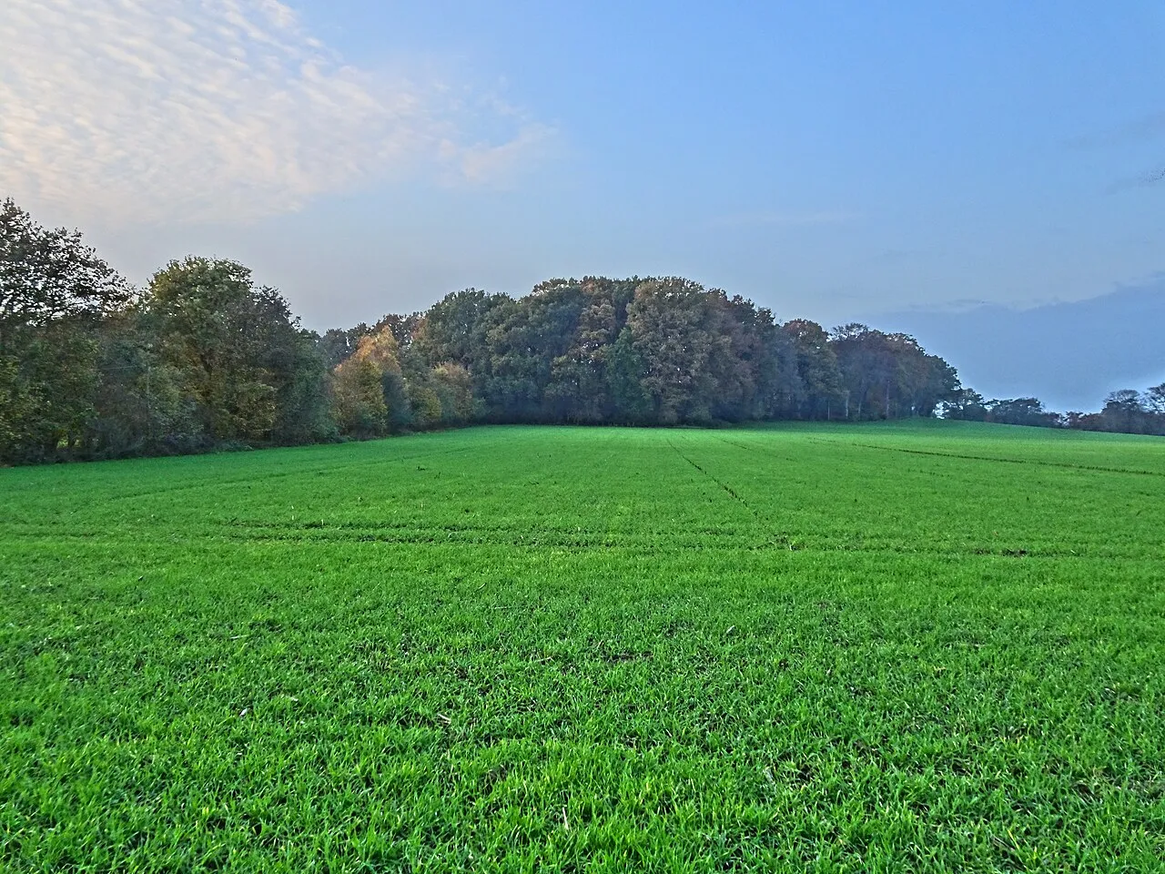
Hingstberg Pieter Delicaat · CC BY-SA 4.0 -
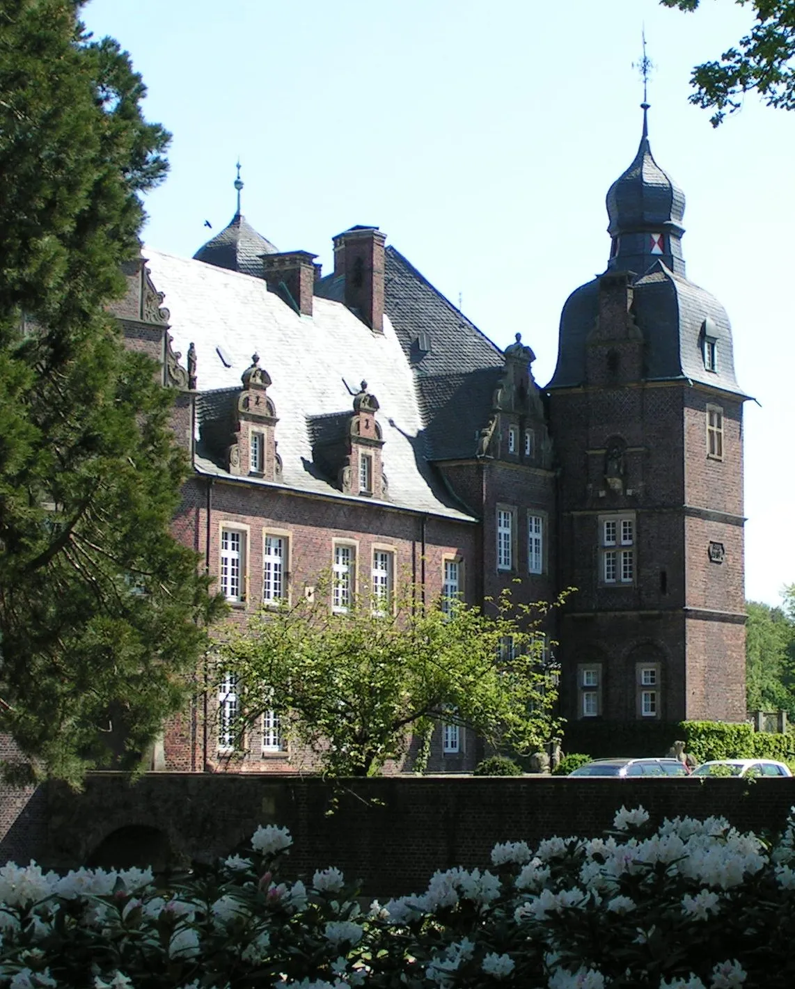
Rosendahl Corradox · CC BY-SA 3.0 -
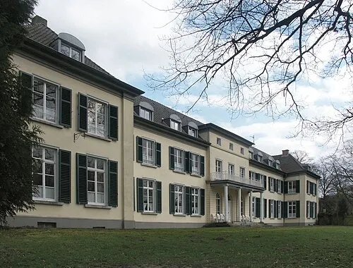
Gnadenthal Sir Gawain · CC BY-SA 3.0 -
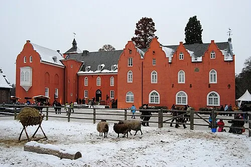
Schloß Bloemersheim kaʁstn Disk / Cat · CC BY-SA 3.0 -
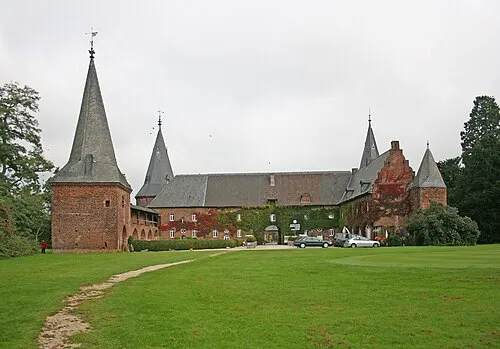
Schloß Haag Frank Vincentz · CC BY-SA 3.0


Climate of Kreis Kleve
Best months for sightseeingBest months for sightseeing: June–August.
This month · November
A cold month
Day 9° · Night 3° · Rain 65 mm
- Hottest month
- August (day 23°)
- Coldest month
- February (night 0°)
- Wettest month
- June (72 mm)
- Driest month
- April (43 mm)
Bars: average monthly low and high temperature. Below: precipitation. Monthly averages for 1970–2000 at about 18 km resolution, adjusted for elevation. Highlighted months are mild and relatively dry. Source: WorldClim 2.1 (CC BY 4.0).
Show values as a table
| Month | Jan | Feb | Mar | Apr | May | Jun | Jul | Aug | Sep | Oct | Nov | Dec |
|---|---|---|---|---|---|---|---|---|---|---|---|---|
| Average high (°C) | 5° | 6° | 10° | 13° | 18° | 21° | 23° | 23° | 19° | 14° | 9° | 6° |
| Average low (°C) | 0° | 0° | 2° | 4° | 8° | 11° | 13° | 13° | 10° | 7° | 3° | 2° |
| Precipitation (mm) | 61 | 46 | 61 | 43 | 62 | 72 | 67 | 58 | 65 | 61 | 65 | 69 |
How to get to Kreis Kleve
The nearest airport is Weeze (Niederrhein) Airport (NRN), 7 km to the southwest as the crow flies. The nearest large city is Venlo, 29 km to the south.
Airports
- Weeze (Niederrhein) Airport (NRN) Weeze 7 kmsouthwest
- Düsseldorf Airport (DUS) Düsseldorf 53 kmsoutheast
- Eindhoven Airport (EIN) Eindhoven 63 kmwest
Nearby large cities
- Venlo Population: 102K 29 kmsouth
- Moers Population: 103.5K 34 kmsoutheast
- Nijmegen Population: 177.4K 35 kmnorthwest
- Krefeld Population: 238K 40 kmsoutheast
- Duisburg Population: 504.4K 43 kmsoutheast
Straight-line distances; road distances are longer. Airport data: OurAirports.
Day trips from Kreis Kleve
Within 100 km: 348 historic and cultural sites, 571 natural sites, 432 lakes, rivers and coasts.
0–25 km106 places
- Kasteel Arcen Historic site 18 kmS
- Strang Lake 24 kmN
- Schmales Meer Lake 21 kmNE
- Millinger Meer Lake 22 kmNE
25–60 km349 places
- Itterbeek River 58 kmSW
- Witbeek River 59 kmSW
- Wijlermeer Lake 29 kmNW
- Schrolik Lake 31 kmS
60–100 km896 places
- Putjensberg Mountain 87 kmN
- Schemersberg Mountain 90 kmSW
- Sacramentsberg Mountain 98 kmSW
- Kaaienberg Mountain 96 kmSW
Straight-line distances.
Kreis Kleve and similar cities
Side by side with cities of similar size in the same country: population, elevation and climate.
| Measure | Kreis Kleve | Bonn | Bielefeld | Münster |
|---|---|---|---|---|
| Population | 322K | 330.6K | 331.9K | 308.3K |
| Elevation | 18 m | 64 m | 111 m | 64 m |
| Summer day (hottest month) | 23° | 24° | 23° | 23° |
| Winter night (coldest month) | 0° | 0° | -1° | -1° |
| Annual rainfall | 730 mm | 717 mm | 833 mm | 768 mm |
| Best months | Jun–Aug | May–Sep | Jun–Aug | Jun–Aug |
| Distance | — | 116 km | 165 km | 103 km |
Climate values are 1970–2000 monthly averages; straight-line distance.
Places in Kreis Kleve
16 places- 1 Kleve 53K
- 2 Geldern 35K
- 3 Goch 34.9K
- 4 Emmerich am Rhein 31.8K
- 5 Kevelaer 28.3K
- 6 Rees 21.9K
- 7 Straelen 16.5K
- 8 Kalkar 14.5K
- 9 Bedburg-Hau 13.6K
- 10 Kerken 13.2K
- 11 Weeze 12.8K
- 12 Issum 12.4K
- 13 Kranenburg 11.3K
- 14 Wachtendonk 8.2K
- 15 Uedem 8.2K
- 16 Rheurdt 6.4K
Bar: population relative to the most populous place in this list.
Nearby attractions & nature
Everything nearby-
Mühlenfleuth River, North Rhine-Westphalia1.1 km N
-
Große Ley River, North Rhine-Westphalia2.7 km E
-
Ottersgraben River, North Rhine-Westphalia2.7 km NW
-
Laarbruch Natural site, North Rhine-Westphalia3.6 km SW
-
Leygraben River, North Rhine-Westphalia4 km SW
-
Hees Natural site, North Rhine-Westphalia6.3 km SW
-
Waterforth River, North Rhine-Westphalia6.8 km SE
-
Dikkenberg Mountain, Bergen Municipality11 km SW
Other cities and towns in Düsseldorf District
Sources & licences
Data last updated: