- Elevation
- 58 m
- above sea level
- Local time
- UTC+01:00
- Europe/Berlin · UTC+01:00
- Airports
- DUS Düsseldorf Airport24 km
- NRN Weeze (Niederrhein) Airport32 km
About Mühlenberg
Mühlenberg is a mountain. Location: Kempen, Kreis Viersen. Elevation: 58 m. The best months to visit are June–August. The nearest airport is Düsseldorf Airport (24 km). Nearby sights include Wartsberg and Windberg.
Photos of Mühlenberg
-
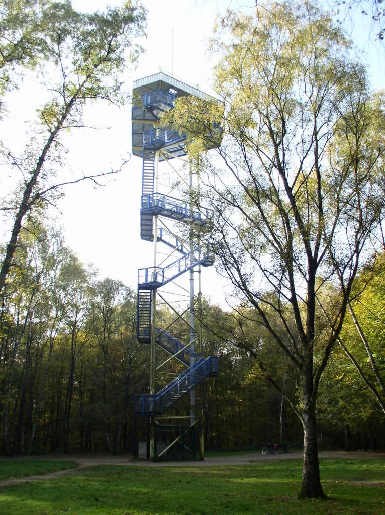
Hülser Berg Johannes1024 · CC BY-SA 3.0 -
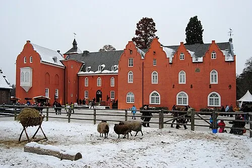
Schloß Bloemersheim kaʁstn Disk / Cat · CC BY-SA 3.0


Climate of Mühlenberg
Best months for sightseeingBest months for sightseeing: June–August.
This month · November
A cold month
Day 9° · Night 3° · Rain 65 mm
- Hottest month
- August (day 23°)
- Coldest month
- February (night 0°)
- Wettest month
- June (74 mm)
- Driest month
- April (46 mm)
Bars: average monthly low and high temperature. Below: precipitation. Monthly averages for 1970–2000 at about 18 km resolution, adjusted for elevation. Highlighted months are mild and relatively dry. Source: WorldClim 2.1 (CC BY 4.0).
Show values as a table
| Month | Jan | Feb | Mar | Apr | May | Jun | Jul | Aug | Sep | Oct | Nov | Dec |
|---|---|---|---|---|---|---|---|---|---|---|---|---|
| Average high (°C) | 5° | 6° | 10° | 13° | 19° | 21° | 23° | 23° | 19° | 14° | 9° | 6° |
| Average low (°C) | 0° | 0° | 2° | 4° | 9° | 11° | 13° | 13° | 10° | 7° | 3° | 2° |
| Precipitation (mm) | 62 | 48 | 62 | 46 | 64 | 74 | 68 | 60 | 64 | 60 | 65 | 70 |
How to get to Mühlenberg
The nearest airport is Düsseldorf Airport (DUS), 24 km to the southeast as the crow flies. The nearest large city is Krefeld, 10 km to the southeast.
Airports
- Düsseldorf Airport (DUS) Düsseldorf 24 kmsoutheast
- Weeze (Niederrhein) Airport (NRN) Weeze 32 kmnorthwest
- Maastricht Aachen Airport (MST) Maastricht 75 kmsouthwest
Nearby large cities
- Krefeld Population: 238K 10 kmsoutheast
- Moers Population: 103.5K 11 kmnortheast
- Duisburg Population: 504.4K 19 kmeast
- Venlo Population: 102K 23 kmwest
- Mönchengladbach Population: 261.7K 25 kmsouth
Straight-line distances; road distances are longer. Airport data: OurAirports.
Day trips from Mühlenberg
Within 100 km: 409 historic and cultural sites, 974 natural sites, 604 lakes, rivers and coasts.
0–25 km135 places
- Kasteel Arcen Historic site 22 kmW
- Schrolik Lake 18 kmW
- Schönwasser Lake 10 kmSE
- Poelvenn Lake 17 kmW
25–60 km465 places
- Itterbeek River 52 kmSW
- Witbeek River 54 kmSW
- Grote Renne River 57 kmSW
- Émissaire River 57 kmSW
60–100 km1,387 places
- Île de Franche Garenne Island 97 kmSW
- Lac de la Gileppe Lake 98 kmS
- Lac d'Eupen Lake 92 kmS
- Schemersberg Mountain 87 kmSW
Straight-line distances.
Nearest towns and villages
Nearby attractions & nature
Everything nearby-
Wartsberg Mountain, Kempen0.9 km NW
-
Windberg Mountain, Rheurdt2.1 km NW
-
Achterberg Mountain, Kempen2.3 km E
-
Hahnenberg Mountain, Rheurdt2.6 km NW
-
Flöthbach River, North Rhine-Westphalia1.3 km SE
-
Mühlenberg Mountain, Rheurdt3.3 km N
-
Hülser Berg Mountain, Krefeld4.4 km SE
-
Saelhuyser Berg Mountain, Rheurdt4.1 km N
Sources & licences
Data last updated: · 2 independent sources