Forst Wingeshausen
Located in North Rhine-Westphalia, Germany Coordinates: 51°05′13″ N 8°16′27″ E
- Elevation
- 618 m
- above sea level
- Local time
- UTC+01:00
- Europe/Berlin · UTC+01:00
- Airports
- PAD Paderborn Lippstadt Airport63 km
- DTM Dortmund Airport67 km
About Forst Wingeshausen
Forst Wingeshausen is a natural site. Location: North Rhine-Westphalia, Germany. The best months to visit are June–August. The nearest airport is Paderborn Lippstadt Airport (63 km). Nearby sights include Homberg and Schneidersberg.
Climate of Forst Wingeshausen
Best months for sightseeingBest months for sightseeing: June–August.
This month · November
A wet month
Day 5° · Night 0° · Rain 113 mm
- Hottest month
- July (day 20°)
- Coldest month
- February (night -4°)
- Wettest month
- December (133 mm)
- Driest month
- April (77 mm)
Bars: average monthly low and high temperature. Below: precipitation. Monthly averages for 1970–2000 at about 18 km resolution, adjusted for elevation. Highlighted months are mild and relatively dry. Source: WorldClim 2.1 (CC BY 4.0).
Show values as a table
| Month | Jan | Feb | Mar | Apr | May | Jun | Jul | Aug | Sep | Oct | Nov | Dec |
|---|---|---|---|---|---|---|---|---|---|---|---|---|
| Average high (°C) | 1° | 2° | 6° | 10° | 15° | 18° | 20° | 20° | 15° | 11° | 5° | 2° |
| Average low (°C) | -4° | -4° | -2° | 1° | 5° | 8° | 10° | 9° | 7° | 3° | 0° | -2° |
| Precipitation (mm) | 125 | 87 | 107 | 77 | 79 | 89 | 93 | 78 | 89 | 99 | 113 | 133 |
How to get to Forst Wingeshausen
The nearest airport is Paderborn Lippstadt Airport (PAD), 63 km to the north as the crow flies. The nearest large city is Siegen, 29 km to the southwest.
Airports
- Paderborn Lippstadt Airport (PAD) Büren 63 kmnorth
- Dortmund Airport (DTM) Dortmund 67 kmnorthwest
- Cologne Bonn Airport (CGN) Köln (Cologne) 83 kmwest
Nearby large cities
- Siegen Population: 107.2K 29 kmsouthwest
- Hagen Population: 199K 64 kmnorthwest
- Hamm Population: 179K 73 kmnorthwest
- Dortmund Population: 588.5K 74 kmnorthwest
- Remscheid Population: 117.1K 76 kmwest
Straight-line distances; road distances are longer. Airport data: OurAirports.
Nearest towns and villages
-
Jagdhaus Village, Schmallenberg2.1 km N
-
Wingeshausen Village, Bad Berleburg2.3 km SE
-
Schmallenberg Village, Hochsauerlandkreis6.7 km N
-
Schmallenberg Town, Schmallenberg7.6 km N
-
Röspe Village, Erndtebrück6.1 km S
-
Aue Village, Bad Berleburg4.5 km S
Nearby attractions & nature
Everything nearby-
Homberg Mountain, Bad Berleburg0.3 km S
-
Schneidersberg Mountain, Bad Berleburg1.3 km NE
-
Ewigeberg Mountain, Bad Berleburg1.6 km E
-
Schnabel Mountain, Bad Berleburg1.5 km SW
-
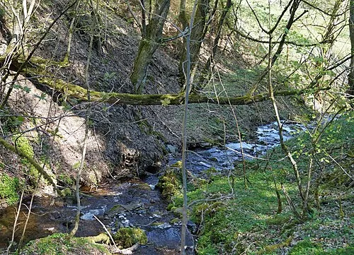 Kleine Bamicke Mountain, Schmallenberg2.7 km NE
-
Bockeshorn Natural site, North Rhine-Westphalia2.1 km E
-
Somborn Mountain, Bad Berleburg2.5 km NW
-
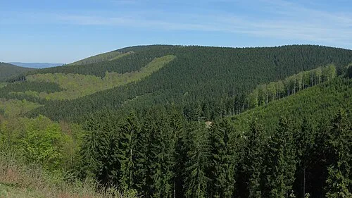 Härdler Mountain, Lennestadt3.2 km NW
Sources & licences
Data last updated: