- Elevation
- 306 m
- above sea level
- Local time
- UTC+01:00
- Europe/Berlin · UTC+01:00
- Airports
- DTM Dortmund Airport47 km
- CGN Cologne Bonn Airport63 km
About Askay
Askay is a mountain. Location: Attendorn, Kreis Olpe. Elevation: 306 m. The best months to visit are June–August. The nearest airport is Dortmund Airport (47 km). Nearby sights include Sonnenberg and Reper Höhe.
Photos of Askay
-
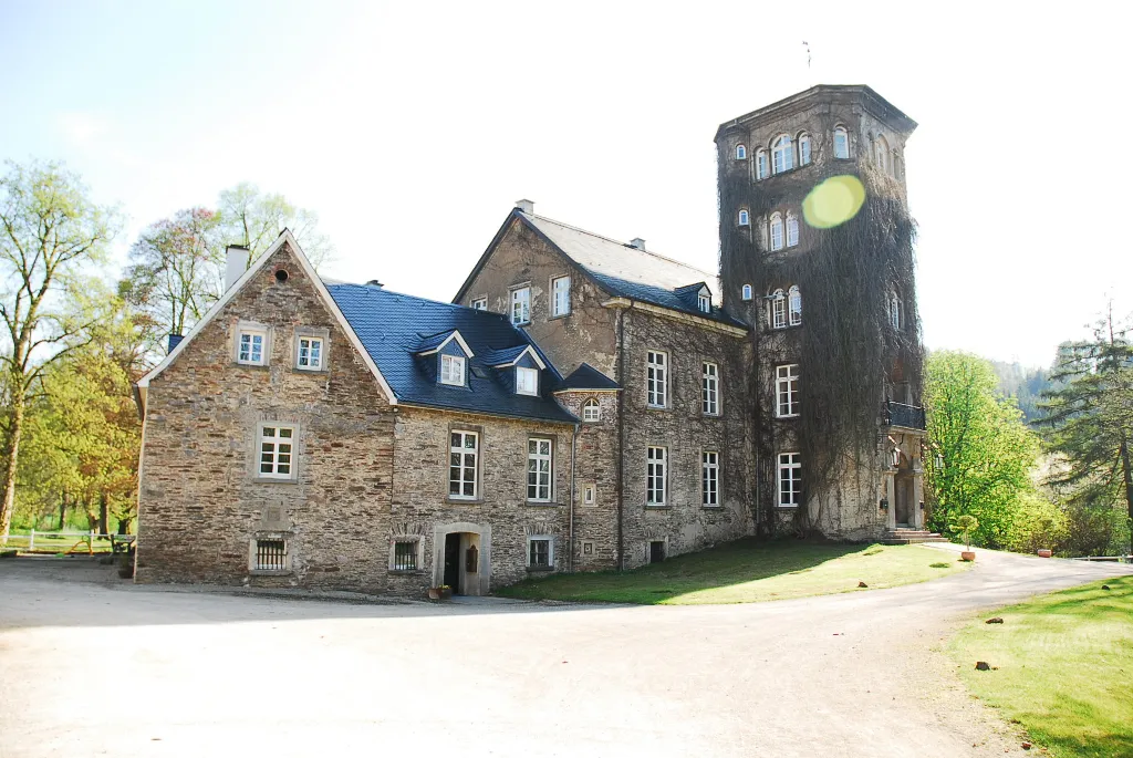
Haus Bamenohl Plettman · CC BY-SA 4.0 -
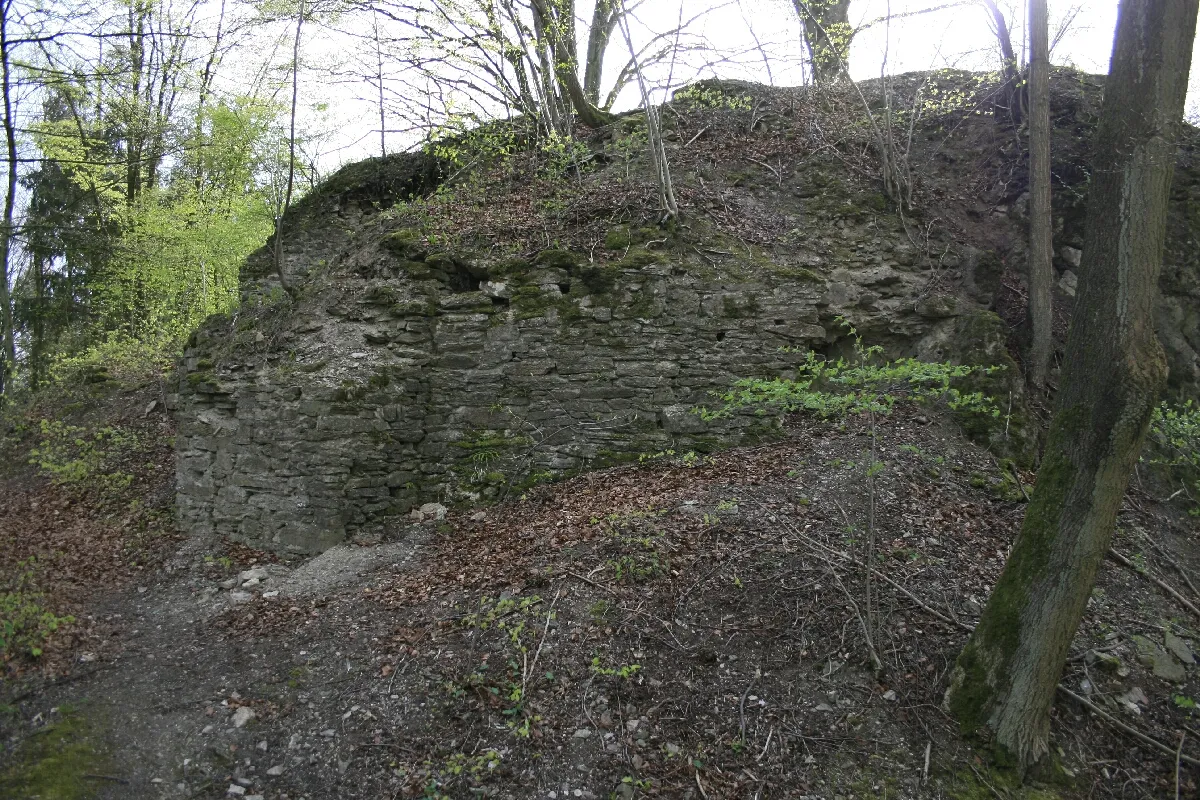
Burg Borghausen Wolfgang Poguntke 18:54, 8. Jul. 2007 · CC BY-SA 2.0 de


Climate of Askay
Best months for sightseeingBest months for sightseeing: June–August.
This month · November
A wet month
Day 7° · Night 2° · Rain 108 mm
- Hottest month
- July (day 22°)
- Coldest month
- February (night -2°)
- Wettest month
- December (125 mm)
- Driest month
- April (73 mm)
Bars: average monthly low and high temperature. Below: precipitation. Monthly averages for 1970–2000 at about 18 km resolution, adjusted for elevation. Highlighted months are mild and relatively dry. Source: WorldClim 2.1 (CC BY 4.0).
Show values as a table
| Month | Jan | Feb | Mar | Apr | May | Jun | Jul | Aug | Sep | Oct | Nov | Dec |
|---|---|---|---|---|---|---|---|---|---|---|---|---|
| Average high (°C) | 4° | 5° | 8° | 12° | 17° | 20° | 22° | 22° | 17° | 13° | 7° | 4° |
| Average low (°C) | -2° | -2° | 1° | 3° | 7° | 10° | 12° | 12° | 9° | 5° | 2° | 0° |
| Precipitation (mm) | 120 | 83 | 102 | 73 | 76 | 90 | 96 | 79 | 89 | 93 | 108 | 125 |
How to get to Askay
The nearest airport is Dortmund Airport (DTM), 47 km to the northwest as the crow flies. The nearest large city is Siegen, 30 km to the south.
Airports
- Dortmund Airport (DTM) Dortmund 47 kmnorthwest
- Cologne Bonn Airport (CGN) Köln (Cologne) 63 kmsouthwest
- Paderborn Lippstadt Airport (PAD) Büren 71 kmnortheast
Nearby large cities
- Siegen Population: 107.2K 30 kmsouth
- Hagen Population: 199K 40 kmnorthwest
- Remscheid Population: 117.1K 52 kmwest
- Dortmund Population: 588.5K 53 kmnorthwest
- Wuppertal Population: 360.8K 56 kmwest
Straight-line distances; road distances are longer. Airport data: OurAirports.
Day trips from Askay
Within 100 km: 515 historic and cultural sites, 3,689 natural sites, 826 lakes, rivers and coasts.
0–25 km478 places
- Else River 11 kmN
- Versetalsperre Lake 18 kmW
- Sorpe Dam Lake 22 kmN
- Oestertalsperre Lake 8 kmW
25–60 km1,665 places
- Else River 41 kmNW
- Weibe River 29 kmS
- Valme River 41 kmNE
- Ogge River 59 kmE
60–100 km2,887 places
- Wande River 89 kmE
- Erpe River 89 kmE
- Ohe River 66 kmSE
- Naure River 90 kmNE
Straight-line distances.
Nearest towns and villages
-
Attendorn Town, Attendorn2.2 km SW
-
 Finnentrop Village, Kreis Olpe4.9 km NE
-
Ennest Village, Attendorn1.1 km NW
-
Finnentrop Village, Finnentrop4.7 km NE
-
 Bamenohl Village, Finnentrop4.9 km NE
-
 Helden Village, Attendorn3.2 km SE
Nearby attractions & nature
Everything nearby-
Sonnenberg Mountain, Attendorn2.3 km SE
-
Reper Höhe Mountain, Attendorn3.2 km S
-
Hambeul Mountain, Attendorn3.2 km W
-
Hummelsberg Mountain, Finnentrop3.4 km N
-
Dünnekenberg Mountain, Attendorn3.7 km SW
-
Eichhahn Mountain, Plettenberg4.1 km N
-
Hömberg Mountain, Finnentrop4.2 km NE
-
Dumberg Mountain, Attendorn3.8 km NE
Sources & licences
Data last updated: · 2 independent sources