Kreis Herford
Located in Regierungsbezirk Detmold, North Rhine-Westphalia Coordinates: 52°11′22″ N 8°39′43″ E
- Population
- 254,404
- 254.4K
- Elevation
- 59 m
- above sea level
- Local time
- UTC+01:00
- Europe/Berlin · UTC+01:00
- Places inside
- 9
- listed under Kreis Herford
- Airports
- PAD Paderborn Lippstadt Airport64 km
- FMO Münster Osnabrück Airport67 km
About Kreis Herford
Kreis Herford is a municipality. Location: Regierungsbezirk Detmold, North Rhine-Westphalia. Population: 254,404. Elevation: 59 m. The best months to visit are June–August. The nearest airport is Paderborn Lippstadt Airport (64 km). Nearby sights include Else and Bramscher Bach.
Photos of Kreis Herford
-
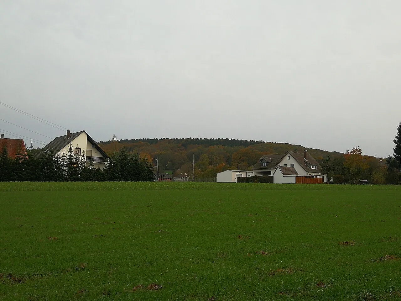
Stuckenberg Grueslayer · CC BY-SA 4.0 -
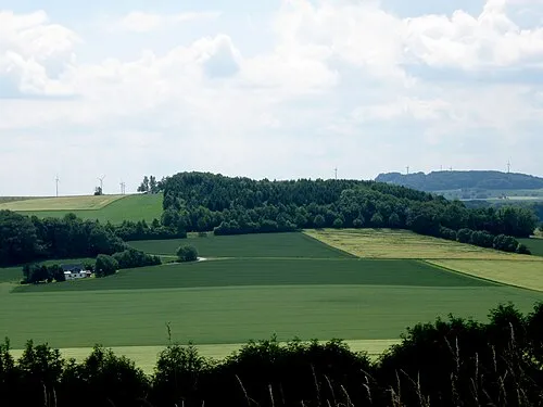
Solter Berg gwexter · Public domain -
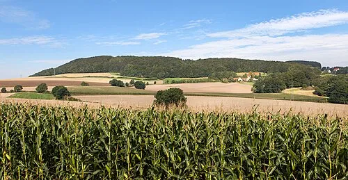
Saalegge Grugerio · CC BY-SA 3.0 -
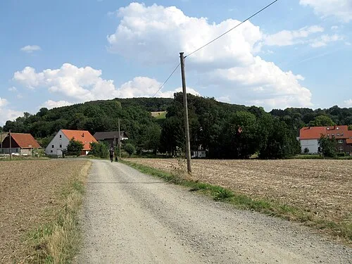
Ruschberg Gwexter · Public domain -
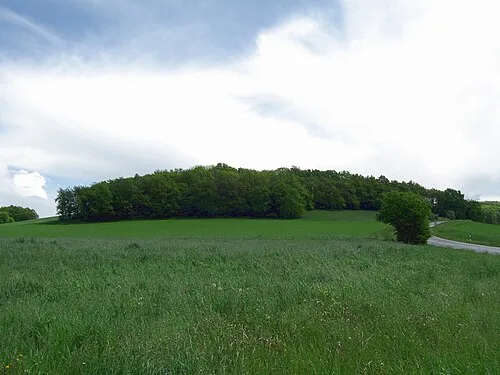
Nettelberg Gwexter · CC BY-SA 3.0


Climate of Kreis Herford
Best months for sightseeingBest months for sightseeing: June–August.
This month · November
A cold month
Day 8° · Night 3° · Rain 65 mm
- Hottest month
- August (day 23°)
- Coldest month
- February (night -1°)
- Wettest month
- June (80 mm)
- Driest month
- April (50 mm)
Bars: average monthly low and high temperature. Below: precipitation. Monthly averages for 1970–2000 at about 18 km resolution, adjusted for elevation. Highlighted months are mild and relatively dry. Source: WorldClim 2.1 (CC BY 4.0).
Show values as a table
| Month | Jan | Feb | Mar | Apr | May | Jun | Jul | Aug | Sep | Oct | Nov | Dec |
|---|---|---|---|---|---|---|---|---|---|---|---|---|
| Average high (°C) | 4° | 5° | 9° | 13° | 18° | 20° | 23° | 23° | 18° | 13° | 8° | 5° |
| Average low (°C) | 0° | -1° | 2° | 4° | 8° | 11° | 13° | 13° | 10° | 6° | 3° | 1° |
| Precipitation (mm) | 70 | 51 | 65 | 50 | 61 | 80 | 68 | 67 | 71 | 65 | 65 | 78 |
How to get to Kreis Herford
The nearest airport is Paderborn Lippstadt Airport (PAD), 64 km to the south as the crow flies. The nearest large city is Bielefeld, 19 km to the southwest.
Airports
- Paderborn Lippstadt Airport (PAD) Büren 64 kmsouth
- Münster Osnabrück Airport (FMO) Greven 67 kmwest
- Hannover Airport (HAJ) Hannover 76 kmnortheast
Nearby large cities
- Bielefeld Population: 331.9K 19 kmsouthwest
- Osnabrück Population: 166.5K 43 kmwest
- Paderborn Population: 142.2K 53 kmsouth
- Münster Population: 308.3K 75 kmwest
- Hanover Population: 515.1K 76 kmeast
Straight-line distances; road distances are longer. Airport data: OurAirports.
Day trips from Kreis Herford
Within 100 km: 268 historic and cultural sites, 2,551 natural sites, 809 lakes, rivers and coasts.
0–25 km146 places
- Bergsee Oberlübbe Lake 12 kmNE
- Hartigsee Lake 17 kmSE
- Wittekinds Berg Mountain 17 kmE
- Wiehen Hills Mountain 12 kmN
25–60 km983 places
- Grimke River 47 kmS
- Badeinsel Island 57 kmNE
- Lake Steinhude Lake 55 kmNE
- Rothenküler Teich Lake 59 kmNE
60–100 km2,499 places
- Sundern Natural site 99 kmNE
- Wande River 92 kmS
- Erpe River 91 kmS
- Werse River 69 kmW
Straight-line distances.
Kreis Herford and similar cities
Side by side with cities of similar size in the same country: population, elevation and climate.
| Measure | Kreis Herford | Kiel | Mönchengladbach | Chemnitz |
|---|---|---|---|---|
| Population | 254.4K | 252.7K | 261.7K | 247.2K |
| Elevation | 59 m | 7 m | 57 m | 306 m |
| Summer day (hottest month) | 23° | 21° | 23° | 24° |
| Winter night (coldest month) | -1° | -1° | 0° | -3° |
| Annual rainfall | 791 mm | 791 mm | 737 mm | 729 mm |
| Best months | Jun–Aug | Jun–Aug | Jun–Aug | May–Sep |
| Distance | — | 257 km | 190 km | 332 km |
Climate values are 1970–2000 monthly averages; straight-line distance.
Places in Kreis Herford
9 places- 1 Herford 67.5K
- 2 Bünde 46.4K
- 3 Löhne 40.8K
- 4 Enger 20.7K
- 5 Hiddenhausen 19.7K
- 6 Vlotho 18.3K
- 7 Kirchlengern 16.3K
- 8 Spenge 14.6K
- 9 Rödinghausen 10.1K
Bar: population relative to the most populous place in this list.
Nearby attractions & nature
Everything nearby-
Else River, North Rhine-Westphalia1.3 km NE
-
Bramscher Bach River, North Rhine-Westphalia2.7 km S
-
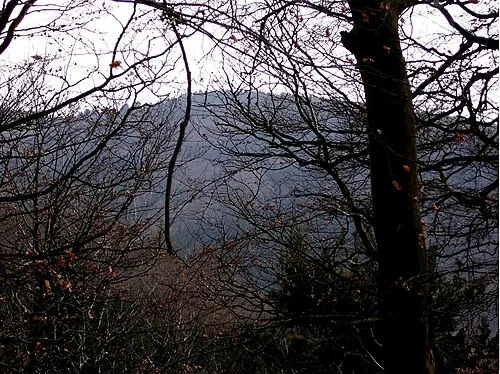 Wurzelbrink Mountain, Lübbecke11 km N
-
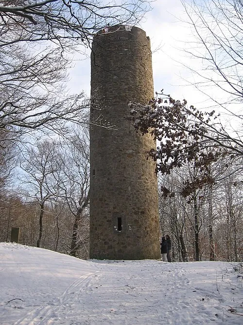 Nonnenstein Mountain, Hüllhorst8.6 km N
-
Aabach River, North Rhine-Westphalia7.5 km S
-
Oberer Berg Mountain, Bad Salzuflen11 km SE
-
Glösinghauser Berg Mountain, Preußisch Oldendorf11 km NW
-
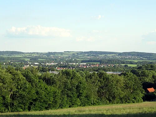 Vierenberg Mountain, Bad Salzuflen14 km SE
Other cities and towns in Regierungsbezirk Detmold
-
Löhne Town, Löhne2.1 km E
-
Kirchlengern Town, Kirchlengern2.3 km NW
-
Hiddenhausen Town, Hiddenhausen4 km SW
-
Bünde Town, Bünde5.3 km W
-
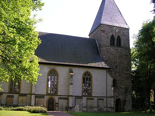 Stift Quernheim Town, Kirchlengern6.5 km N
-
Kreis Minden-Lübbecke Municipality, Regierungsbezirk Detmold17 km N
Sources & licences
Data last updated: