- Elevation
- 205 m
- above sea level
- Local time
- UTC+01:00
- Europe/Berlin · UTC+01:00
- Airports
- PAD Paderborn Lippstadt Airport61 km
- HAJ Hannover Airport62 km
About Hellberg
Hellberg is a village. Location: Kalletal, Kreis Lippe. Elevation: 205 m. The best months to visit are June–August. The nearest airport is Paderborn Lippstadt Airport (61 km). Nearby sights include Rafelder Berg and Selser Berg.
Photos of Hellberg
-
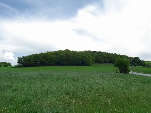
Nettelberg Gwexter · CC BY-SA 3.0 -
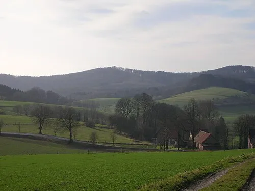
Amelungsburg Hopfenpflücker · CC BY-SA 3.0


Climate of Hellberg
Best months for sightseeingBest months for sightseeing: June–August.
This month · November
A cold month
Day 7° · Night 2° · Rain 74 mm
- Hottest month
- August (day 22°)
- Coldest month
- February (night -1°)
- Wettest month
- December (89 mm)
- Driest month
- April (57 mm)
Bars: average monthly low and high temperature. Below: precipitation. Monthly averages for 1970–2000 at about 18 km resolution, adjusted for elevation. Highlighted months are mild and relatively dry. Source: WorldClim 2.1 (CC BY 4.0).
Show values as a table
| Month | Jan | Feb | Mar | Apr | May | Jun | Jul | Aug | Sep | Oct | Nov | Dec |
|---|---|---|---|---|---|---|---|---|---|---|---|---|
| Average high (°C) | 3° | 4° | 8° | 12° | 17° | 20° | 22° | 22° | 18° | 13° | 7° | 5° |
| Average low (°C) | -1° | -1° | 1° | 3° | 8° | 10° | 12° | 12° | 9° | 6° | 2° | 0° |
| Precipitation (mm) | 82 | 60 | 74 | 57 | 66 | 81 | 80 | 77 | 77 | 70 | 74 | 89 |
How to get to Hellberg
The nearest airport is Paderborn Lippstadt Airport (PAD), 61 km to the southwest as the crow flies. The nearest large city is Bielefeld, 32 km to the west.
Airports
- Paderborn Lippstadt Airport (PAD) Büren 61 kmsouthwest
- Hannover Airport (HAJ) Hannover 62 kmnortheast
- Kassel Airport (KSF) Calden 81 kmsouth
Nearby large cities
- Bielefeld Population: 331.9K 32 kmwest
- Paderborn Population: 142.2K 46 kmsouth
- Hanover Population: 515.1K 59 kmnortheast
- Osnabrück Population: 166.5K 67 kmwest
- Göttingen Population: 122.1K 91 kmsoutheast
Straight-line distances; road distances are longer. Airport data: OurAirports.
Day trips from Hellberg
Within 100 km: 293 historic and cultural sites, 3,070 natural sites, 799 lakes, rivers and coasts.
0–25 km229 places
- Norder Teich Lake 25 kmS
- Hartigsee Lake 17 kmSW
- Wein-Berg Mountain 17 kmN
- Zedling Mountain 23 kmSW
25–60 km1,083 places
- Ohe River 50 kmE
- Grimke River 41 kmSW
- Badeinsel Island 47 kmNE
- Lake Steinhude Lake 47 kmNE
60–100 km2,850 places
- Sundern Natural site 93 kmNE
- Warnau River 96 kmNE
- Wande River 77 kmS
- Erpe River 77 kmS
Straight-line distances.
Nearby attractions & nature
Everything nearby-
Rafelder Berg Mountain, Kalletal1.5 km NW
-
Selser Berg Mountain, Kalletal2 km S
-
Knick Mountain, Kalletal2.3 km NE
-
Rotenberg Mountain, Kalletal3.4 km NW
-
Buntenberg Mountain, Extertal3 km E
-
Herberg Mountain, Kalletal3.6 km SW
Other cities and towns in Kalletal
-
 Lüdenhausen Village, Kalletal2.9 km SE
-
 Hohenhausen Village, Kalletal3 km W
-
Tevenhausen Village, Kalletal2.4 km N
-
Henstorf Village, Kalletal3.3 km S
-
 Bavenhausen Village, Kalletal4.2 km SW
-
 Westorf Village, Kalletal4.7 km W
Sources & licences
Data last updated: