- Elevation
- 91 m
- above sea level
- Local time
- UTC+01:00
- Europe/Berlin · UTC+01:00
- Airports
- FMO Münster Osnabrück Airport39 km
- DTM Dortmund Airport57 km
About Sükerhook
Sükerhook is a village. Location: Coesfeld, Kreis Coesfeld. Elevation: 91 m. The best months to visit are June–August. The nearest airport is Münster Osnabrück Airport (39 km). Nearby sights include Coesfelderberg and Schloß Varlar.
Photos of Sükerhook
-
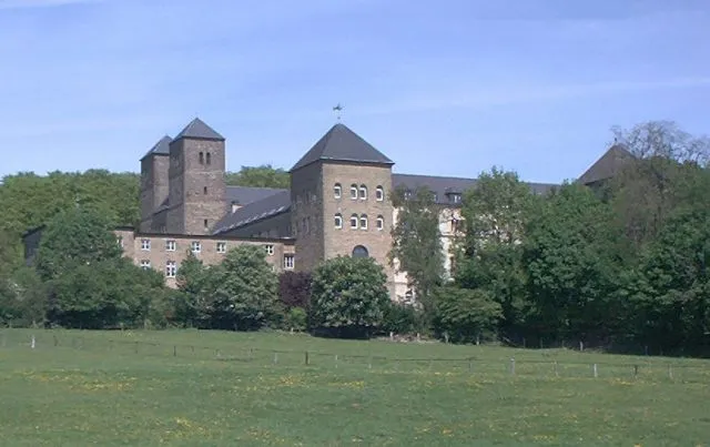
Coesfelderberg Wikimedia Commons · CC BY-SA 3.0

Climate of Sükerhook
Best months for sightseeingBest months for sightseeing: June–August.
This month · November
A cold month
Day 9° · Night 3° · Rain 77 mm
- Hottest month
- July (day 23°)
- Coldest month
- February (night -1°)
- Wettest month
- December (80 mm)
- Driest month
- April (50 mm)
Bars: average monthly low and high temperature. Below: precipitation. Monthly averages for 1970–2000 at about 18 km resolution, adjusted for elevation. Highlighted months are mild and relatively dry. Source: WorldClim 2.1 (CC BY 4.0).
Show values as a table
| Month | Jan | Feb | Mar | Apr | May | Jun | Jul | Aug | Sep | Oct | Nov | Dec |
|---|---|---|---|---|---|---|---|---|---|---|---|---|
| Average high (°C) | 4° | 5° | 9° | 13° | 18° | 20° | 23° | 22° | 19° | 14° | 9° | 5° |
| Average low (°C) | -1° | -1° | 1° | 4° | 8° | 11° | 12° | 12° | 9° | 6° | 3° | 1° |
| Precipitation (mm) | 73 | 54 | 64 | 50 | 61 | 73 | 78 | 74 | 72 | 63 | 77 | 80 |
How to get to Sükerhook
The nearest airport is Münster Osnabrück Airport (FMO), 39 km to the northeast as the crow flies. The nearest large city is Münster, 30 km to the east.
Airports
- Münster Osnabrück Airport (FMO) Greven 39 kmnortheast
- Dortmund Airport (DTM) Dortmund 57 kmsoutheast
- Düsseldorf Airport (DUS) Düsseldorf 80 kmsouth
Nearby large cities
- Münster Population: 308.3K 30 kmeast
- Enschede Population: 153.7K 35 kmnorthwest
- Recklinghausen Population: 122.4K 38 kmsouth
- Herne Population: 172.1K 47 kmsouth
- Gelsenkirchen Population: 270K 51 kmsouth
Straight-line distances; road distances are longer. Airport data: OurAirports.
Day trips from Sükerhook
Within 100 km: 283 historic and cultural sites, 1,173 natural sites, 638 lakes, rivers and coasts.
0–25 km101 places
- Halterner Talsperre Lake 23 kmS
- Zippenberg Mountain 10 kmE
- Waldbeerenberg Mountain 22 kmS
- Vogelberg Mountain 17 kmS
25–60 km459 places
- Werse River 35 kmE
- Ahse River 55 kmSE
- Schmales Meer Lake 57 kmW
- Millinger Meer Lake 58 kmW
60–100 km1,534 places
- Putjensberg Mountain 96 kmNW
- Kasteel Arcen Historic site 88 kmSW
- Else River 64 kmSE
- Else River 94 kmSE
Straight-line distances.
Nearby attractions & nature
Everything nearby-
Coesfelderberg Mountain, Coesfeld1 km S
-
Schloß Varlar Historic site, Rosendahl3.4 km N
-
Kloster Gerleve Attraction, Coesfeld3.9 km SE
-
Honigbach River, North Rhine-Westphalia3.1 km S
-
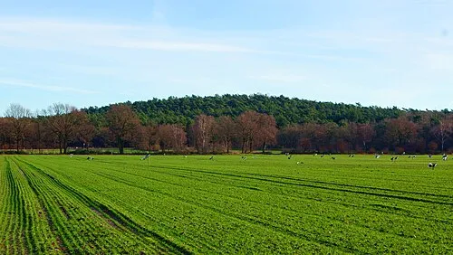 Hünsberg Mountain, Coesfeld8.9 km SW
-
Roruper Mark Natural site, North Rhine-Westphalia5.3 km SE
Other cities and towns in Coesfeld

Sources & licences
Data last updated: