Rothenbach
Located in North Rhine-Westphalia, Germany Coordinates: 50°45′22″ N 8°01′12″ E
- Elevation
- 486 m
- above sea level
- Local time
- UTC+01:00
- Europe/Berlin · UTC+01:00
- Airports
- CGN Cologne Bonn Airport63 km
- DTM Dortmund Airport89 km
About Rothenbach
Rothenbach is a natural site. Location: North Rhine-Westphalia, Germany. The best months to visit are June–August. The nearest airport is Cologne Bonn Airport (63 km). Nearby sights include Heiberscher Berg and Schiefer Berg.
Climate of Rothenbach
Best months for sightseeingBest months for sightseeing: June–August.
This month · November
A cold month
Day 6° · Night 1° · Rain 92 mm
- Hottest month
- July (day 21°)
- Coldest month
- February (night -3°)
- Wettest month
- December (108 mm)
- Driest month
- April (64 mm)
Bars: average monthly low and high temperature. Below: precipitation. Monthly averages for 1970–2000 at about 18 km resolution, adjusted for elevation. Highlighted months are mild and relatively dry. Source: WorldClim 2.1 (CC BY 4.0).
Show values as a table
| Month | Jan | Feb | Mar | Apr | May | Jun | Jul | Aug | Sep | Oct | Nov | Dec |
|---|---|---|---|---|---|---|---|---|---|---|---|---|
| Average high (°C) | 2° | 3° | 7° | 11° | 17° | 19° | 21° | 21° | 17° | 12° | 6° | 3° |
| Average low (°C) | -3° | -3° | 0° | 2° | 6° | 9° | 11° | 11° | 8° | 4° | 1° | -1° |
| Precipitation (mm) | 97 | 72 | 87 | 64 | 70 | 78 | 81 | 68 | 76 | 83 | 92 | 108 |
How to get to Rothenbach
The nearest airport is Cologne Bonn Airport (CGN), 63 km to the west as the crow flies. The nearest large city is Siegen, 13 km to the north.
Airports
- Cologne Bonn Airport (CGN) Köln (Cologne) 63 kmwest
- Dortmund Airport (DTM) Dortmund 89 kmnorth
- Frankfurt Main Airport (FRA) Frankfurt am Main 90 kmsoutheast
Nearby large cities
- Siegen Population: 107.2K 13 kmnorth
- Koblenz Population: 107.3K 55 kmsouthwest
- Bonn Population: 330.6K 65 kmwest
- Bergisch Gladbach Population: 106.2K 67 kmnorthwest
- Remscheid Population: 117.1K 75 kmnorthwest
Straight-line distances; road distances are longer. Airport data: OurAirports.
Nearest towns and villages
-
Burbach Village, Kreis Siegen-Wittgenstein2.4 km E
-
Neunkirchen Village, Kreis Siegen-Wittgenstein2.7 km N
-
Wahlbach Village, Burbach2.8 km E
-
Daaden Village, Landkreis Altenkirchen5 km W
-
Emmerzhausen Village, Landkreis Altenkirchen4.5 km S
-
Herdorf Village, Landkreis Altenkirchen5.1 km NW
Nearby attractions & nature
Everything nearby-
Heiberscher Berg Mountain, Neunkirchen1.2 km N
-
Schiefer Berg Mountain, Neunkirchen2.4 km N
-
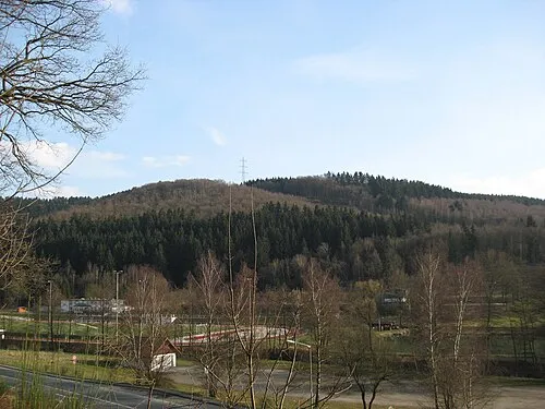 Raßberg Mountain, Neunkirchen3 km N
-
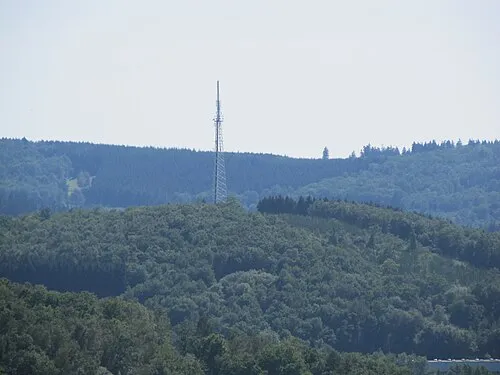 Hellerberg Mountain, Neunkirchen3.1 km NW
-
Nenkers-Berg Mountain, Rhineland-Palatinate2.7 km SE
-
Hohenseelbachskopf Mountain, Daaden2.3 km W
-
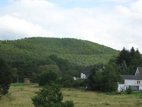 Simrich Mountain, Burbach3.9 km E
-
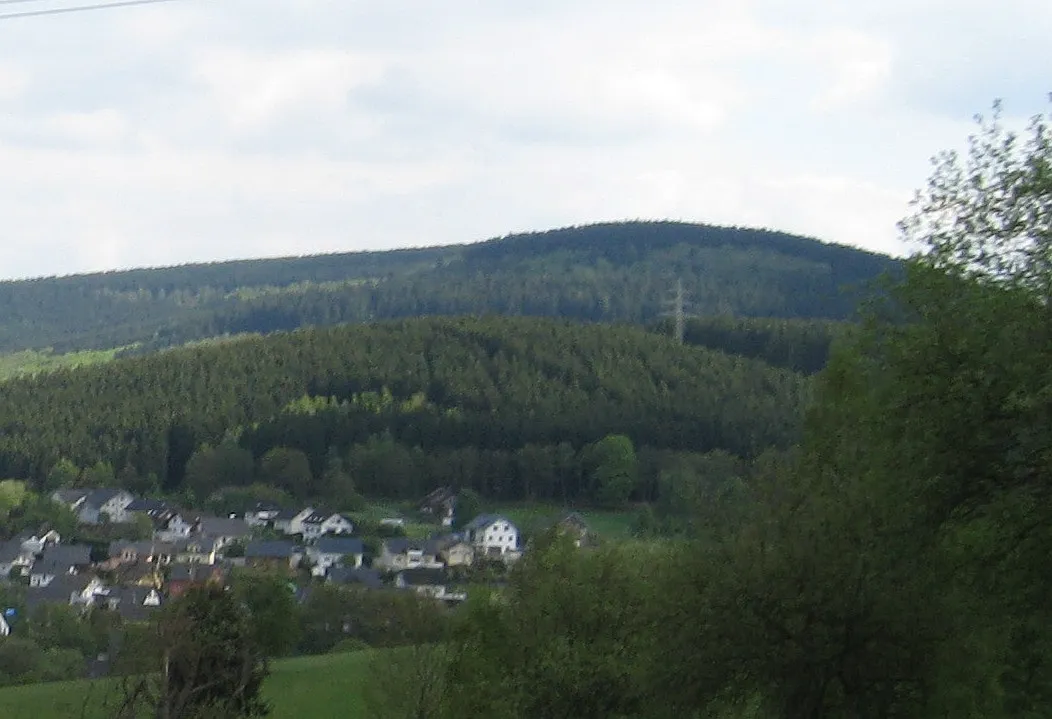 Burg Mountain, Burbach3.9 km SE
More nature in Germany
-
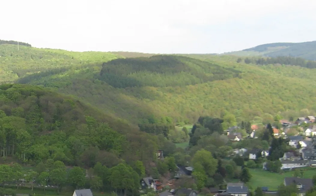 Simberg Mountain, Burbach5 km E
-
Lipper Nürr Mountain, Burbach4 km SE
-
Leyenkopf Mountain, Neunkirchen4.3 km N
-
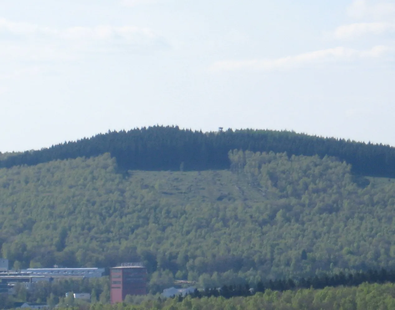 Pfannenberg Mountain, Siegen6.7 km N
-
Mienberg Mountain, Neunkirchen4.5 km NW
-
Schiffenberg Mountain, Neunkirchen6.1 km NW
Sources & licences
Data last updated: