Ruhr Quelle
Located in North Rhine-Westphalia, Germany Coordinates: 51°12′48″ N 8°33′30″ E
- Elevation
- 677 m
- above sea level
- Local time
- UTC+01:00
- Europe/Berlin · UTC+01:00
- Airports
- PAD Paderborn Lippstadt Airport45 km
- KSF Kassel Airport62 km
About Ruhr Quelle
Ruhr Quelle is a natural site. Location: North Rhine-Westphalia, Germany. The best months to visit are June–August. The nearest airport is Paderborn Lippstadt Airport (45 km). Nearby sights include Ruhrkopf and Burg.
Climate of Ruhr Quelle
Best months for sightseeingBest months for sightseeing: June–August.
This month · November
A wet month
Day 5° · Night 0° · Rain 118 mm
- Hottest month
- July (day 19°)
- Coldest month
- February (night -4°)
- Wettest month
- December (137 mm)
- Driest month
- August (82 mm)
Bars: average monthly low and high temperature. Below: precipitation. Monthly averages for 1970–2000 at about 18 km resolution, adjusted for elevation. Highlighted months are mild and relatively dry. Source: WorldClim 2.1 (CC BY 4.0).
Show values as a table
| Month | Jan | Feb | Mar | Apr | May | Jun | Jul | Aug | Sep | Oct | Nov | Dec |
|---|---|---|---|---|---|---|---|---|---|---|---|---|
| Average high (°C) | 1° | 2° | 5° | 9° | 14° | 17° | 19° | 19° | 15° | 10° | 5° | 2° |
| Average low (°C) | -4° | -4° | -2° | 1° | 5° | 8° | 10° | 10° | 7° | 4° | 0° | -2° |
| Precipitation (mm) | 133 | 93 | 113 | 87 | 86 | 95 | 101 | 82 | 97 | 102 | 118 | 137 |
How to get to Ruhr Quelle
The nearest airport is Paderborn Lippstadt Airport (PAD), 45 km to the north as the crow flies. The nearest large city is Siegen, 53 km to the southwest.
Airports
- Paderborn Lippstadt Airport (PAD) Büren 45 kmnorth
- Kassel Airport (KSF) Calden 62 kmeast
- Dortmund Airport (DTM) Dortmund 74 kmnorthwest
Nearby large cities
- Siegen Population: 107.2K 53 kmsouthwest
- Paderborn Population: 142.2K 58 kmnorth
- Kassel Population: 197.2K 67 kmeast
- Hamm Population: 179K 73 kmnorthwest
- Hagen Population: 199K 78 kmwest
Straight-line distances; road distances are longer. Airport data: OurAirports.
Nearest towns and villages
-
Winterberg Village, Hochsauerlandkreis2.7 km NW
-
Winterberg Town, Winterberg2.8 km SW
-
Elkeringhausen Village, Winterberg1.6 km SE
-
Grönebach Village, Winterberg1.8 km N
-
Silbach Village, Winterberg5.6 km W
-
Hildfeld Village, Winterberg3.5 km N
Nearby attractions & nature
Everything nearby-
Ruhrkopf Mountain, Winterberg0.3 km SW
-
Burg Mountain, Winterberg2.2 km SE
-
Mosenberg Mountain, Winterberg2.3 km NE
-
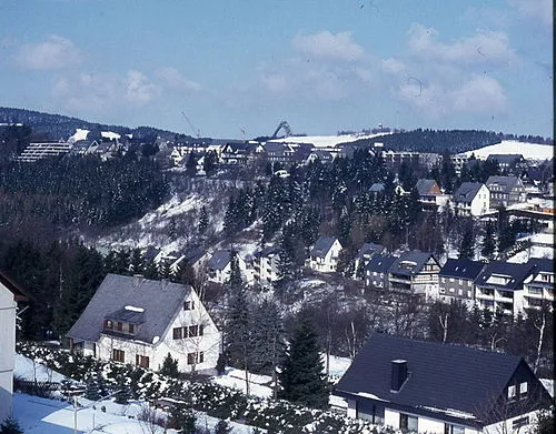 Herrloh Mountain, Winterberg3.5 km SW
-
Rösberg Mountain, Medebach2.9 km E
-
Alte Grimme Mountain, Winterberg2.5 km SE
-
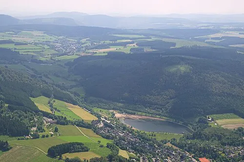 Rimberg Mountain, Winterberg4 km N
-
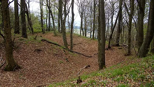 Schloßberg Mountain, Medebach4.3 km E
More nature in Germany
-
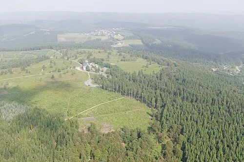 Kahler Asten Mountain, Winterberg6.2 km SW
-
Kuhlenberg Mountain, Winterberg4.3 km W
-
Hohe Seite Mountain, Hallenberg4.7 km SE
-
Bremberg Mountain, Winterberg5.1 km SW
-
Bärenberg Mountain, Winterberg5.6 km SW
-
Katerkopf Mountain, Winterberg4.2 km S
Sources & licences
Data last updated: