Südwestpfalz
Located in Rhineland-Palatinate, Germany Coordinates: 49°13′38″ N 7°40′46″ E
- Population
- 89,974
- 90K
- Elevation
- 358 m
- above sea level
- Local time
- UTC+01:00
- Europe/Berlin · UTC+01:00
- Places inside
- 84
- listed under Südwestpfalz
- Airports
- SCN Saarbrücken Airport42 km
- FKB Karlsruhe Baden-Baden Airport58 km
About Südwestpfalz
Südwestpfalz is a municipality. Location: Rhineland-Palatinate, Germany. Population: 89,974. Elevation: 358 m. The best months to visit are June–August. The nearest airport is Saarbrücken Airport (42 km). Nearby sights include Hanauischer Sommer Wald and Merzalbe.
Photos of Südwestpfalz
-
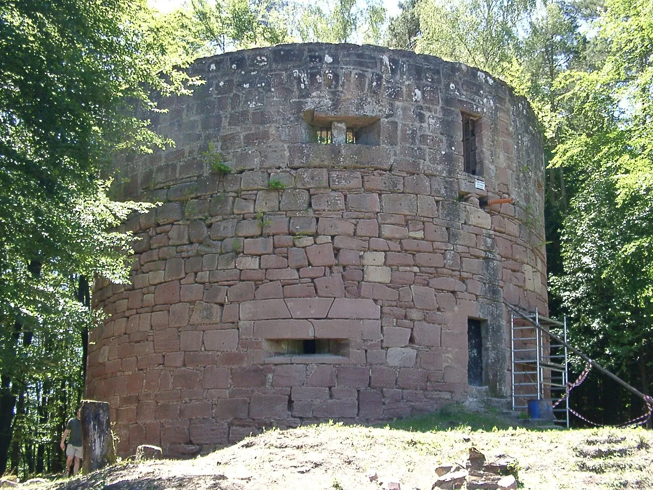
Nestelberg Ulli1105 · CC BY-SA 2.5 -
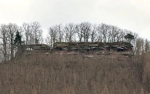
Lindelkopf Palatinatian · CC BY 3.0 -
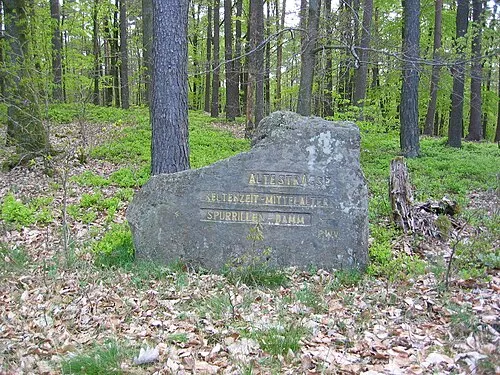
Kleiner Breitenberg pfalz39 · CC BY-SA 3.0 -
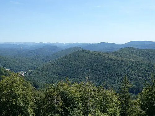
Kappelstein Steffen 962 · CC BY-SA 4.0 -
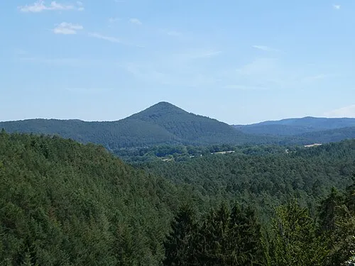
Jüngstberg Steffen 962 · CC BY-SA 4.0


Climate of Südwestpfalz
Best months for sightseeingBest months for sightseeing: June–August.
This month · November
A cold month
Day 7° · Night 1° · Rain 77 mm
- Hottest month
- July (day 22°)
- Coldest month
- February (night -2°)
- Wettest month
- December (88 mm)
- Driest month
- April (57 mm)
Bars: average monthly low and high temperature. Below: precipitation. Monthly averages for 1970–2000 at about 18 km resolution, adjusted for elevation. Highlighted months are mild and relatively dry. Source: WorldClim 2.1 (CC BY 4.0).
Show values as a table
| Month | Jan | Feb | Mar | Apr | May | Jun | Jul | Aug | Sep | Oct | Nov | Dec |
|---|---|---|---|---|---|---|---|---|---|---|---|---|
| Average high (°C) | 3° | 5° | 9° | 12° | 17° | 20° | 22° | 22° | 18° | 13° | 7° | 4° |
| Average low (°C) | -2° | -2° | 1° | 3° | 7° | 10° | 12° | 12° | 9° | 5° | 1° | -1° |
| Precipitation (mm) | 68 | 64 | 65 | 57 | 79 | 79 | 73 | 63 | 64 | 77 | 77 | 88 |
How to get to Südwestpfalz
The nearest airport is Saarbrücken Airport (SCN), 42 km to the west as the crow flies. For international flights: Karlsruhe Baden-Baden Airport (FKB) (58 km). The nearest large city is Saarbrücken, 49 km to the west.
Airports
- Saarbrücken Airport (SCN) Saarbrücken 42 kmwest
- Karlsruhe Baden-Baden Airport (FKB) Rheinmünster 58 kmsoutheast
- Mannheim-City Airport (MHG) Mannheim 67 kmnortheast
Nearby large cities
- Saarbrücken Population: 183K 49 kmwest
- Karlsruhe Population: 283.8K 58 kmsoutheast
- Ludwigshafen am Rhein Population: 163.2K 62 kmnortheast
- Mannheim Population: 308K 64 kmnortheast
- Strasbourg Population: 274.8K 72 kmsouth
Straight-line distances; road distances are longer. Airport data: OurAirports.
Day trips from Südwestpfalz
Within 100 km: 718 historic and cultural sites, 3,199 natural sites, 712 lakes, rivers and coasts.
0–25 km603 places
- Gelterswoog Lake 19 kmN
- Zwieselkopf Mountain 16 kmE
- Zündelsberg Mountain 19 kmS
- Zöllerberg Mountain 17 kmSE
25–60 km1,281 places
- Insel Flotzgrün Island 56 kmE
- Altrhein Kleiner Bodensee Lake 52 kmE
- Altrhein Lake 55 kmE
- Altrhein Lake 57 kmE
60–100 km2,745 places
- Unditz River 88 kmS
- Elsenz River 83 kmE
- Rench River 65 kmS
- Modau River 87 kmNE
Straight-line distances.
Südwestpfalz and similar cities
Side by side with cities of similar size in the same country: population, elevation and climate.
| Measure | Südwestpfalz | Giessen | Tübingen | Schwerin |
|---|---|---|---|---|
| Population | 90K | 89.2K | 92.3K | 96.6K |
| Elevation | 358 m | 162 m | 333 m | 48 m |
| Summer day (hottest month) | 22° | 24° | 24° | 23° |
| Winter night (coldest month) | -2° | -1° | -2° | -2° |
| Annual rainfall | 854 mm | 681 mm | 754 mm | 628 mm |
| Best months | Jun–Aug | Jun–Aug | Jun–Sep | Jun–Aug |
| Distance | — | 167 km | 128 km | 554 km |
Climate values are 1970–2000 monthly averages; straight-line distance.
Places in Südwestpfalz
84 places- 61 Kleinbundenbach 416
- 62 Schmitshausen 403
- 63 Rumbach 398
- 64 Schönau (Pfalz) 387
- 65 Steinalben 364
- 66 Rosenkopf 358
- 67 Dietrichingen 351
- 68 Erlenbach bei Dahn 346
- 69 Hilst 321
- 70 Großbundenbach 320
- 71 Walshausen 315
- 72 Saalstadt 312
- 73 Mauschbach 290
- 74 Schweix 286
- 75 Niederschlettenbach 275
- 76 Bobenthal 259
- 77 Hettenhausen 190
- 78 Darstein 182
- 79 Dimbach 182
- 80 Schauerberg 181
- 81 Biedershausen 178
- 82 Krähenberg 158
- 83 Nothweiler 129
- 84 Hirschthal 77
Bar: population relative to the most populous place in this list.
Nearby attractions & nature
Everything nearby-
Hanauischer Sommer Wald Natural site, Rhineland-Palatinate1.1 km SW
-
Merzalbe River, Rhineland-Palatinate1.2 km NE
-
Hoher Kopf Mountain, Pirmasens1.6 km W
-
Lams Bach River, Rhineland-Palatinate2.1 km SE
-
Badischer Sommerwald Natural site, Rhineland-Palatinate3.2 km W
-
Kleiner Arius Mountain, Pirmasens3.7 km SW
-
Glasberg Mountain, Pirmasens3.4 km SW
-
Herrenwald Natural site, Rhineland-Palatinate4 km E
Sources & licences
Data last updated: