Vierherrenwald
Located in Rhineland-Palatinate, Germany Coordinates: 49°49′46″ N 7°14′11″ E
- Elevation
- 687 m
- above sea level
- Local time
- UTC+01:00
- Europe/Berlin · UTC+01:00
About Vierherrenwald
Vierherrenwald is a natural site. Location: Rhineland-Palatinate, Germany.
In comparison
- 29 sights and natural places within 10 km An den zwei Steinen, Rother Rech
Nearest towns and villages
-
Schauren Village, Landkreis Birkenfeld2.5 km S
-
Schauren Village, Schauren2.5 km S
-
Bruchweiler Village, Landkreis Birkenfeld3.5 km S
-
Stipshausen Village, Landkreis Birkenfeld4.1 km NE
-
Hellertshausen Village, Landkreis Birkenfeld3.7 km SE
-
Asbach Village, Landkreis Birkenfeld3.4 km SE
Nearby attractions & nature
Everything nearby-
An den zwei Steinen Mountain, Hellertshausen0.9 km NW
-
Rother Rech Natural site, Rhineland-Palatinate1.2 km SW
-
Idarwald Natural site, Rhineland-Palatinate1.5 km W
-
Steingerüttelkopf Mountain, Morbach4.3 km SW
-
Viergemeindewald Natural site, Rhineland-Palatinate3.2 km NE
-
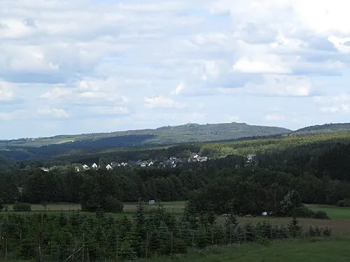 Wildenburger Kopf Mountain, Veitsrodt6.1 km S
-
Idarkopf Mountain, Stipshausen4.4 km NE
-
Mörschieder Burr Mountain, Mörschied5.7 km SE
More nature in Germany
-
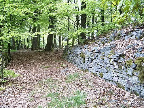 Ringkopf Mountain, Sensweiler9.1 km S
-
Silberich Mountain, Hettenrodt8 km S
-
Sandkopf Mountain, Kirschweiler6.6 km S
-
Sensweiler Höhe Mountain, Langweiler6.9 km SW
-
Pannenfelskopf Mountain, Siesbach9.6 km S
-
Halster Höhe Mountain, Kleinich5.5 km NW
Sources & licences
Data last updated: