Galgenberg
Located in Oberharz am Brocken, Landkreis Harz Coordinates: 51°46′27″ N 10°49′14″ E
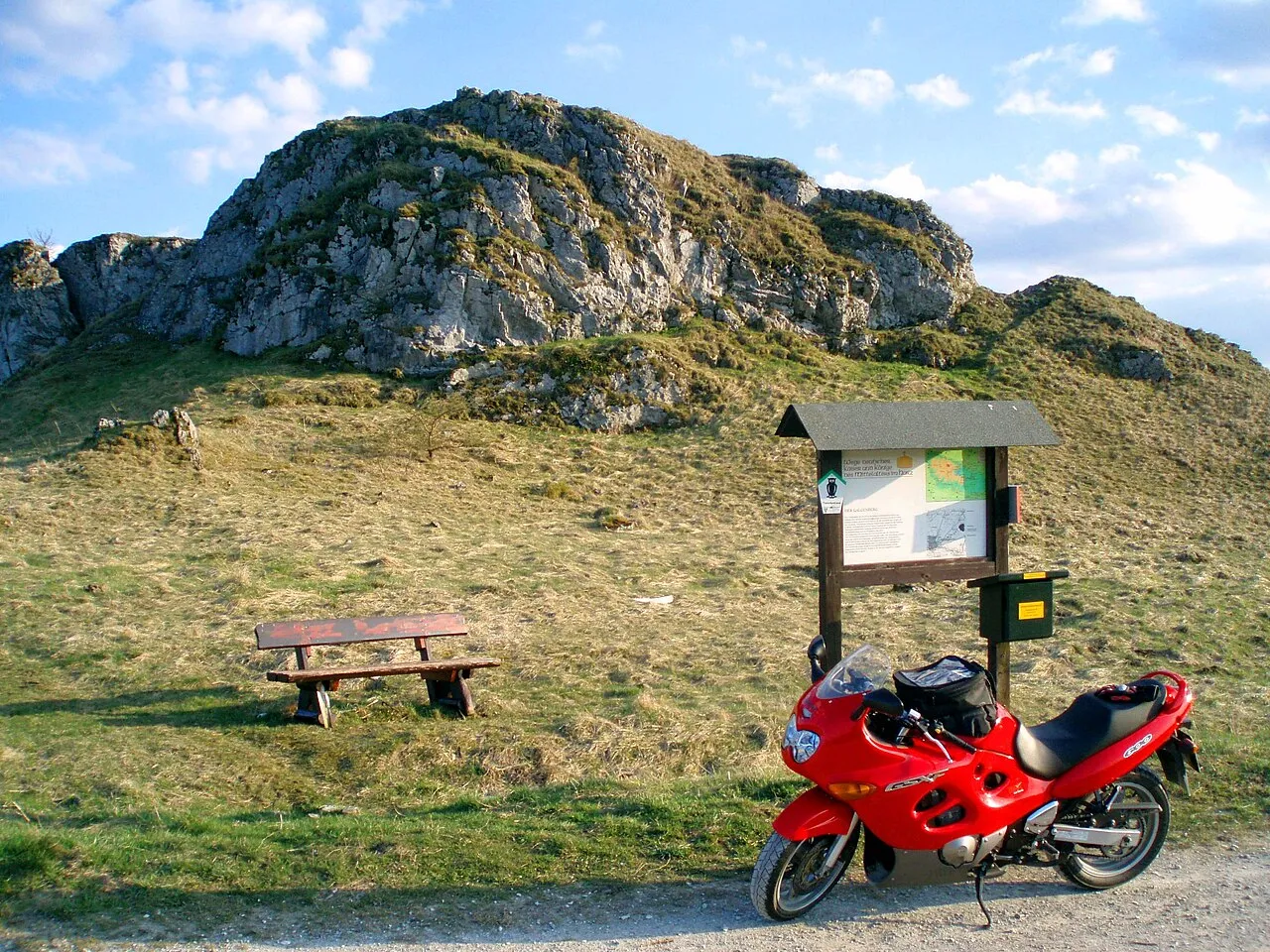
- Elevation
- 501 m
- above sea level
- Local time
- UTC+01:00
- Europe/Berlin · UTC+01:00
- Airports
- ERF Erfurt-Weimar Airport89 km
- LEJ Leipzig/Halle Airport105 km
About Galgenberg
Galgenberg is a mountain. Location: Oberharz am Brocken, Landkreis Harz. Elevation: 501 m.
The Galgenberg is a 506.1-metre-high hill east of Elbingerode (Harz) in the Harz Mountains of central Germany. It marks the highest point on the row of limestone crags found there. The old Trock Way (Trockweg), which ran from Quedlinburg to the imperial stronghold of Bodfeld, probably ran past the Galgenberg immediately to the north. East of the hill lies the abandoned village of Erdfelde that was closely linked to Bodfeld.
Source: Wikipedia · CC BY-SA 4.0
Photos of Galgenberg
-

Leonhard Lenz · CC0 -
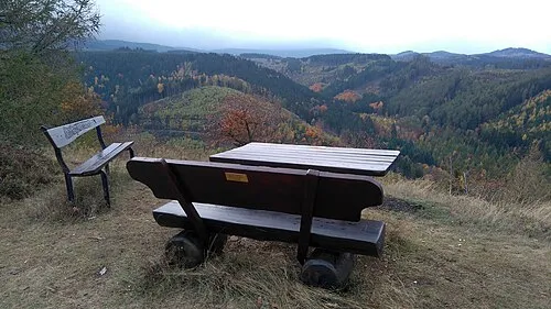
Steinberg de:Benutzer:Hejkal · CC BY-SA 3.0 de -
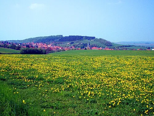
Austberg Benutzer:Hejkal · CC BY-SA 3.0 de -
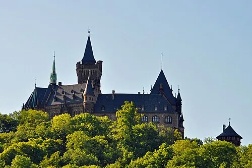
Wernigerode Castle Klugschnacker · CC BY-SA 3.0


Climate of Galgenberg
Best months for sightseeingBest months for sightseeing: June–August.
This month · November
A wet month
Day 5° · Night 0° · Rain 102 mm
- Hottest month
- July (day 20°)
- Coldest month
- February (night -4°)
- Wettest month
- December (120 mm)
- Driest month
- May (70 mm)
Bars: average monthly low and high temperature. Below: precipitation. Monthly averages for 1970–2000 at about 18 km resolution, adjusted for elevation. Highlighted months are mild and relatively dry. Source: WorldClim 2.1 (CC BY 4.0).
Show values as a table
| Month | Jan | Feb | Mar | Apr | May | Jun | Jul | Aug | Sep | Oct | Nov | Dec |
|---|---|---|---|---|---|---|---|---|---|---|---|---|
| Average high (°C) | 2° | 2° | 5° | 9° | 15° | 18° | 20° | 20° | 16° | 11° | 5° | 2° |
| Average low (°C) | -4° | -4° | -2° | 1° | 6° | 9° | 11° | 10° | 7° | 4° | 0° | -2° |
| Precipitation (mm) | 103 | 75 | 99 | 72 | 70 | 92 | 87 | 80 | 79 | 87 | 102 | 120 |
How to get to Galgenberg
The nearest airport is Erfurt-Weimar Airport (ERF), 89 km to the south as the crow flies. The nearest large city is Salzgitter, 51 km to the northwest.
Airports
- Erfurt-Weimar Airport (ERF) Erfurt 89 kmsouth
- Leipzig/Halle Airport (LEJ) Schkeuditz 105 kmeast
- Kassel Airport (KSF) Calden 107 kmwest
Nearby large cities
- Salzgitter Population: 105K 51 kmnorthwest
- Braunschweig Population: 244.7K 58 kmnorth
- Göttingen Population: 122.1K 67 kmsouthwest
- Magdeburg Population: 244.3K 68 kmnortheast
- Wolfsburg Population: 123.1K 72 kmnorth
Straight-line distances; road distances are longer. Airport data: OurAirports.
Day trips from Galgenberg
Within 100 km: 528 historic and cultural sites, 3,592 natural sites, 773 lakes, rivers and coasts.
0–25 km512 places
- Aue River 23 kmN
- Zillerbachtalsperre Lake 3 kmNW
- Talsperre Wendefurth Lake 7 kmSE
- Rappbodetalsperre Lake 6 kmSE
25–60 km1,644 places
- Schalk River 28 kmW
- Sarre River 45 kmNE
- Ehle River 51 kmE
- Bere River 26 kmS
60–100 km2,737 places
- Buchenwald concentration camp Historic site 89 kmS
- Wiehe River 95 kmN
- Ohe River 88 kmNW
- Frieda River 81 kmSW
Straight-line distances.
Nearest towns and villages
-
 Elbingerode Village, Oberharz am Brocken1.1 km W
-
 Rübeland Village, Oberharz am Brocken2.7 km SE
-
 Neuwerk Village, Oberharz am Brocken4.5 km SE
-
 Wernigerode Village, Landkreis Harz7.6 km N
-
Hüttenrode Village, Blankenburg (Harz)5.8 km E
-
Königshütte Village, Oberharz am Brocken5.1 km SW
Nearby attractions & nature
Everything nearby-
Gläsenberg Mountain, Oberharz am Brocken1.4 km NE
-
Krähenberg Mountain, Oberharz am Brocken2.3 km NE
-
Kleiner Hornberg Mountain, Oberharz am Brocken2.7 km W
-
Hinterer Voigtstiegberg Mountain, Wernigerode2.9 km N
-
Vorderer Voigtstiegberg Mountain, Wernigerode2.9 km N
-
Zilliertal Natural site, Saxony-Anhalt2.8 km W
-
Ortberg Mountain, Oberharz am Brocken2.4 km NW
-
Mahlberg Mountain, Wernigerode3 km N
Sources & licences
Data last updated: · 2 independent sources