Wurzelberg
Located in Oberwiesenthal, Kurort, Erzgebirgskreis Coordinates: 50°26′00″ N 12°56′00″ E
- Elevation
- 946 m
- above sea level
- Local time
- UTC+01:00
- Europe/Berlin · UTC+01:00
- Airports
- KLV Karlovy Vary Airport26 km
- DRS Dresden Airport98 km
About Wurzelberg
Wurzelberg is a mountain. Location: Oberwiesenthal, Kurort, Erzgebirgskreis. Elevation: 946 m. The best months to visit are July–August. The nearest airport is Karlovy Vary Airport (26 km). Nearby sights include Kleiner Fichtelberg and Fichtelberg.
Photos of Wurzelberg
-
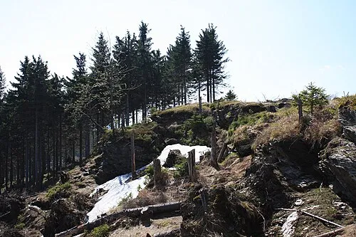
Taufichtig Devilsanddust · CC BY-SA 3.0 -
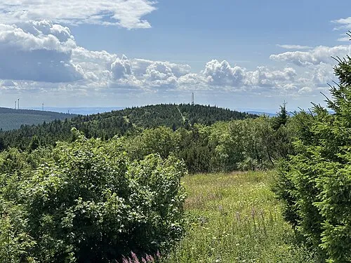
Kleiner Fichtelberg Michael Wolf · CC BY-SA 3.0 -
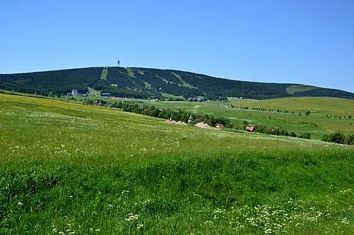
Klínovec Petr Kinšt · CC BY-SA 3.0 -
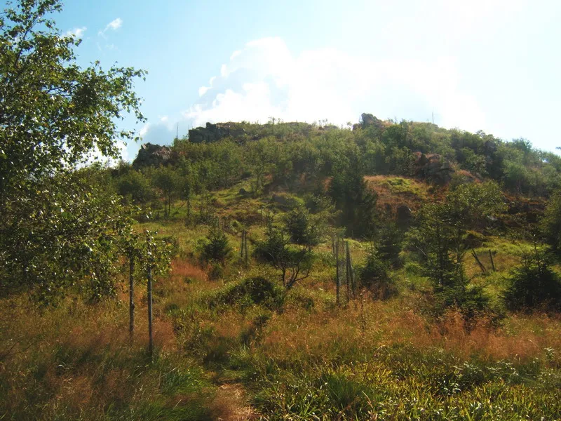
Meluzína Wikimedia Commons · CC BY-SA 3.0


Climate of Wurzelberg
Best months for sightseeingBest months for sightseeing: July–August.
This month · November
A cold month
Day 3° · Night -2° · Rain 68 mm
- Hottest month
- July (day 18°)
- Coldest month
- February (night -6°)
- Wettest month
- July (109 mm)
- Driest month
- February (58 mm)
Bars: average monthly low and high temperature. Below: precipitation. Monthly averages for 1970–2000 at about 18 km resolution, adjusted for elevation. Highlighted months are mild and relatively dry. Source: WorldClim 2.1 (CC BY 4.0).
Show values as a table
| Month | Jan | Feb | Mar | Apr | May | Jun | Jul | Aug | Sep | Oct | Nov | Dec |
|---|---|---|---|---|---|---|---|---|---|---|---|---|
| Average high (°C) | -1° | -1° | 3° | 8° | 13° | 16° | 18° | 18° | 14° | 9° | 3° | 0° |
| Average low (°C) | -6° | -6° | -4° | 0° | 4° | 7° | 9° | 9° | 6° | 2° | -2° | -4° |
| Precipitation (mm) | 64 | 58 | 69 | 61 | 74 | 97 | 109 | 96 | 72 | 65 | 68 | 76 |
How to get to Wurzelberg
The nearest airport is Karlovy Vary Airport (KLV), 26 km to the south as the crow flies. The nearest large city is Chemnitz, 45 km to the north.
Airports
- Karlovy Vary Airport (KLV) Karlovy Vary 26 kmsouth
- Dresden Airport (DRS) Dresden 98 kmnortheast
- Václav Havel Airport Prague (PRG) Prague 102 kmeast
Nearby large cities
- Chemnitz Population: 247.2K 45 kmnorth
- Gera Population: 104.7K 78 kmnorthwest
- Dresden Population: 564.9K 89 kmnortheast
- Leipzig Population: 505K 108 kmnorth
- Jena Population: 104.7K 110 kmnorthwest
Straight-line distances; road distances are longer. Airport data: OurAirports.
Day trips from Wurzelberg
Within 100 km: 297 historic and cultural sites, 1,977 natural sites, 459 lakes, rivers and coasts.
0–25 km247 places
- Stoličná Mountain 15 kmSE
- Pláň Mountain 22 kmSW
- Talsperre Weiterswiese Lake 25 kmW
- Talsperre des Friedens Lake 22 kmW
25–60 km726 places
- Svatý Prokop Landmark 39 kmSE
- Wüster Teich Lake 59 kmW
- Waldsee Lake 30 kmW
- Sachswitzer Stausee Lake 58 kmNW
60–100 km1,760 places
- Erzgebirge Mountain 81 kmNE
- Pirna-Sonnenstein Mountain 92 kmNE
- Hořidla Mountain 95 kmE
- Český Les Mountain 91 kmS
Straight-line distances.
Nearest towns and villages
-
Oberwiesenthal Village, Oberwiesenthal, Kurort2.9 km SE
-
Fichtelberg Haus Village, Oberwiesenthal, Kurort1.6 km E
-
Boží Dar Village, Boží Dar2.7 km S
-
 Loučná pod Klínovcem Village, Loučná pod Klínovcem4 km SE
-
Neues Haus Village, Oberwiesenthal, Kurort2.3 km S
-
 Hammerunterwiesenthal Village, Oberwiesenthal, Kurort6 km E
Nearby attractions & nature
Everything nearby-
Kleiner Fichtelberg Mountain, Oberwiesenthal, Kurort1.6 km SE
-
Fichtelberg Mountain, Oberwiesenthal, Kurort1.5 km E
-
Am Steinel Mountain, Oberwiesenthal, Kurort2.2 km NE
-
Pfahlberg Mountain, Oberwiesenthal, Kurort2.2 km NW
-
Taufichtig Mountain, Oberwiesenthal, Kurort3.3 km NW
-
Gifthüttenberg Mountain, Oberwiesenthal, Kurort3 km NE
-
Forst Oberwiesenthal Natural site, Saxony2.4 km W
-
Eisenberg Mountain, Oberwiesenthal, Kurort2.9 km E
Sources & licences
Data last updated: · 2 independent sources