- Elevation
- 10 m
- above sea level
- Local time
- UTC+01:00
- Europe/Berlin · UTC+01:00
- Airports
- GWT Westerland Sylt Airport44 km
- SGD Sønderborg Airport54 km
About Seewangacker
Seewangacker is a village. Location: Achtrup, Kreis Nordfriesland. Elevation: 10 m. The best months to visit are June–August. The nearest airport is Westerland Sylt Airport (44 km). Nearby sights include Mühlenberg and Rosenhain.
Photos of Seewangacker
-
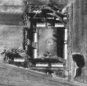
Ladelund Concentration Camp KZ- Gedenk- und Begegnungsstätte Ladelund · CC BY-SA 3.0

Climate of Seewangacker
Best months for sightseeingBest months for sightseeing: June–August.
This month · November
A cold month
Day 8° · Night 3° · Rain 96 mm
- Hottest month
- August (day 21°)
- Coldest month
- February (night -1°)
- Wettest month
- November (96 mm)
- Driest month
- February (43 mm)
Bars: average monthly low and high temperature. Below: precipitation. Monthly averages for 1970–2000 at about 18 km resolution, adjusted for elevation. Highlighted months are mild and relatively dry. Source: WorldClim 2.1 (CC BY 4.0).
Show values as a table
| Month | Jan | Feb | Mar | Apr | May | Jun | Jul | Aug | Sep | Oct | Nov | Dec |
|---|---|---|---|---|---|---|---|---|---|---|---|---|
| Average high (°C) | 3° | 4° | 6° | 11° | 16° | 19° | 20° | 21° | 17° | 13° | 8° | 5° |
| Average low (°C) | -1° | -1° | 0° | 3° | 7° | 10° | 12° | 12° | 9° | 6° | 3° | 0° |
| Precipitation (mm) | 65 | 43 | 53 | 44 | 49 | 65 | 75 | 83 | 86 | 91 | 96 | 76 |
How to get to Seewangacker
The nearest airport is Westerland Sylt Airport (GWT), 44 km to the west as the crow flies. The nearest large city is Kiel, 90 km to the southeast.
Airports
- Westerland Sylt Airport (GWT) Sylt 44 kmwest
- Sønderborg Airport (SGD) Sønderborg 54 kmeast
- Esbjerg Airport (EBJ) Esbjerg 86 kmnorth
Nearby large cities
- Kiel Population: 252.7K 90 kmsoutheast
- Odense Population: 180.9K 111 kmnortheast
- Bremerhaven Population: 118.6K 141 kmsouth
- Lübeck Population: 212.2K 151 kmsoutheast
- Aarhus Population: 285.3K 169 kmnortheast
Straight-line distances; road distances are longer. Airport data: OurAirports.
Day trips from Seewangacker
Within 100 km: 121 historic and cultural sites, 631 natural sites, 481 lakes, rivers and coasts.
0–25 km71 places
- Hallig Habel Island 24 kmSW
- Naturbad ladelund Lake 6 kmN
- Kahlebüller See Lake 13 kmNW
- Bundesgaarder See Lake 16 kmW
25–60 km443 places
- Nordstrand Natural site 34 kmS
- Oxbek River 48 kmSE
- Solitüde Beach 31 kmE
- Kniepsand Beach 47 kmW
60–100 km719 places
- Als Island 62 kmE
- Aeroe Island 86 kmE
- Fanø Island 78 kmNW
- Rindby Strand Beach 80 kmNW
Straight-line distances.
Nearby attractions & nature
Everything nearby-
Mühlenberg Mountain, Achtrup1.5 km SE
-
Rosenhain Attraction, Leck2.6 km SW
-
Karlumer Wald Natural site, Schleswig-Holstein2.4 km NW
-
Karlumberg Mountain, Karlum2.6 km N
-
Karlum Kirche Attraction, Karlum3.9 km NW
-
Kuhholz Natural site, Schleswig-Holstein3.8 km SE
Sources & licences
Data last updated: