Early Camp Hamburg-Wittmoor
Located in Tangstedt, Kreis Stormarn Coordinates: 53°41′54″ N 10°04′02″ E
- Local time
- UTC+01:00
- Europe/Berlin · UTC+01:00
- Elevation
- 33 m
- above sea level
- Airports
- HAM Hamburg Helmut Schmidt Airport9 km
- LBC Lübeck Blankensee Airport45 km
About Early Camp Hamburg-Wittmoor
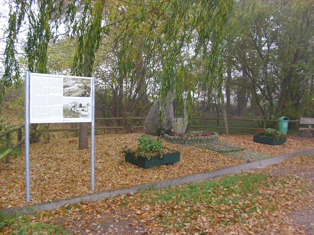
Early Camp Hamburg-Wittmoor is a historic site. Location: Tangstedt, Kreis Stormarn. The best months to visit are June–August. The nearest airport is Hamburg Helmut Schmidt Airport (9 km). Nearby sights include NDB-Funkfeuer HOS and Mellingburg.
Photos of Early Camp Hamburg-Wittmoor
-

Claus-Joachim Dickow · CC BY-SA 3.0 -

Ajepbah · CC BY-SA 3.0 -

Ajepbah · CC BY-SA 3.0 -

Abubiju · CC0 -

Abubiju · CC0


Climate of Early Camp Hamburg-Wittmoor
Best months for sightseeingBest months for sightseeing: June–August.
This month · November
A cold month
Day 7° · Night 2° · Rain 76 mm
- Hottest month
- August (day 22°)
- Coldest month
- January (night -2°)
- Wettest month
- December (83 mm)
- Driest month
- February (47 mm)
Bars: average monthly low and high temperature. Below: precipitation. Monthly averages for 1970–2000 at about 18 km resolution, adjusted for elevation. Highlighted months are mild and relatively dry. Source: WorldClim 2.1 (CC BY 4.0).
Show values as a table
| Month | Jan | Feb | Mar | Apr | May | Jun | Jul | Aug | Sep | Oct | Nov | Dec |
|---|---|---|---|---|---|---|---|---|---|---|---|---|
| Average high (°C) | 3° | 4° | 7° | 12° | 17° | 20° | 22° | 22° | 17° | 13° | 7° | 5° |
| Average low (°C) | -2° | -2° | 0° | 3° | 7° | 10° | 12° | 12° | 9° | 6° | 2° | 0° |
| Precipitation (mm) | 69 | 47 | 64 | 50 | 53 | 75 | 78 | 73 | 71 | 73 | 76 | 83 |
How to get to Early Camp Hamburg-Wittmoor
The nearest airport is Hamburg Helmut Schmidt Airport (HAM), 9 km to the southwest as the crow flies. The nearest large city is Lübeck, 45 km to the northeast.
Airports
- Hamburg Helmut Schmidt Airport (HAM) Hamburg 9 kmsouthwest
- Lübeck Blankensee Airport (LBC) Lübeck 45 kmeast
- Sea-Airport Cuxhaven/Nordholz / Nordholz Naval Airbase (FCN) Wurster Nordseeküste 93 kmwest
Nearby large cities
- Lübeck Population: 212.2K 45 kmnortheast
- Kiel Population: 252.7K 69 kmnorth
- Bremerhaven Population: 118.6K 100 kmwest
- Bremen Population: 546.5K 109 kmsouthwest
- Oldenburg Population: 159.2K 138 kmsouthwest
Straight-line distances; road distances are longer. Airport data: OurAirports.
Day trips from Early Camp Hamburg-Wittmoor
Within 100 km: 379 historic and cultural sites, 2,862 natural sites, 1,314 lakes, rivers and coasts.
0–25 km367 places
- Gurlittinsel Island 16 kmS
- Billerhuder Insel Island 17 kmS
- Schneiderloch Lake 24 kmSW
- Neversdorfer See Lake 24 kmNE
25–60 km1,696 places
- Viertbusch Natural site 26 kmSE
- Spock River 54 kmN
- Aubek River 45 kmNW
- Hundestrand Beach 59 kmNE
60–100 km2,492 places
- Poel Island Island 96 kmE
- Ziegelwerder Island 94 kmE
- Warnau River 96 kmS
- Köppernitz River 94 kmE
Straight-line distances.
Nearby attractions & nature
Everything nearby-
NDB-Funkfeuer HOS Landmark, Hamburg2.6 km SE
-
Mellingburg Historic site, Hamburg3.8 km SE
-
Tangstedter Forst Natural site, Schleswig-Holstein2.6 km N
-
Hamburg-Wandsbek Concentration Camp Historic site, Hamburg5.6 km SE
-
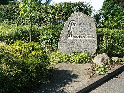 Hamburg-Sasel Concentration Camp Historic site, Hamburg6.3 km SE
-
Hummelsee Lake, Hamburg3.2 km SW
-
Stadtparksee Lake, Norderstedt3.3 km NW
-
Bekmoor Natural site, Tangstedt4.8 km N
Nearest towns and villages
-
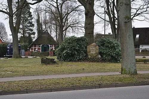 Lemsahl-Mellingstedt Town, Hamburg2.1 km SE
-
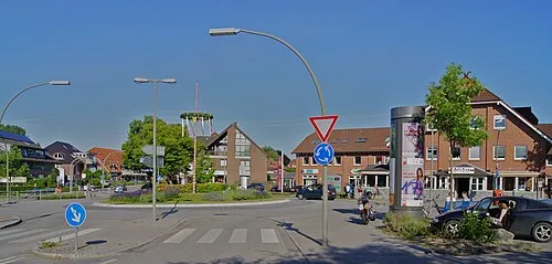 Duvenstedt Town, Hamburg2.7 km NE
-
 Poppenbüttel Neighbourhood, Hamburg4.5 km S
-
 Wohldorf-Ohlstedt Neighbourhood, Hamburg4.3 km E
Sources & licences
Data last updated: · 2 independent sources