Berlin, Taborkirche (Wilhelmshagen)
Located in Berlin, Berlin, Stadt Coordinates: 52°26′07″ N 13°42′54″ E
- Local time
- UTC+01:00
- Europe/Berlin · UTC+01:00
- Elevation
- 44 m
- above sea level
- Airports
- BER Berlin Brandenburg Airport17 km
- DRS Dresden Airport145 km
About Berlin, Taborkirche (Wilhelmshagen)
Berlin, Taborkirche (Wilhelmshagen) is a tourist attraction. Location: Berlin, Berlin, Stadt. The best months to visit are June–August. The nearest airport is Berlin Brandenburg Airport (17 km). Nearby sights include Püttberge and Berlin-Müggelheim Concentration Camp (SS-Baubrigade II).
Photos of Berlin, Taborkirche (Wilhelmshagen)
-
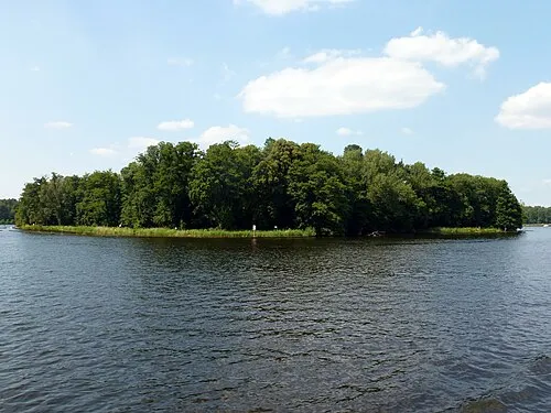
Seddinwall Fridolin freudenfett · CC BY-SA 3.0 -
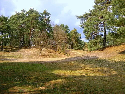
Püttberge Erstbesinns · CC0


Climate of Berlin, Taborkirche (Wilhelmshagen)
Best months for sightseeingBest months for sightseeing: June–August.
This month · November
A cold month
Day 7° · Night 2° · Rain 42 mm
- Hottest month
- July (day 23°)
- Coldest month
- January (night -3°)
- Wettest month
- July (68 mm)
- Driest month
- April (33 mm)
Bars: average monthly low and high temperature. Below: precipitation. Monthly averages for 1970–2000 at about 18 km resolution, adjusted for elevation. Highlighted months are mild and relatively dry. Source: WorldClim 2.1 (CC BY 4.0).
Show values as a table
| Month | Jan | Feb | Mar | Apr | May | Jun | Jul | Aug | Sep | Oct | Nov | Dec |
|---|---|---|---|---|---|---|---|---|---|---|---|---|
| Average high (°C) | 2° | 4° | 8° | 13° | 19° | 21° | 23° | 23° | 18° | 13° | 7° | 4° |
| Average low (°C) | -3° | -2° | 0° | 4° | 8° | 12° | 13° | 13° | 10° | 6° | 2° | -1° |
| Precipitation (mm) | 42 | 34 | 39 | 33 | 56 | 56 | 68 | 59 | 45 | 37 | 42 | 49 |
How to get to Berlin, Taborkirche (Wilhelmshagen)
The nearest airport is Berlin Brandenburg Airport (BER), 17 km to the southwest as the crow flies. The nearest large city is Berlin, 23 km to the northwest.
Airports
- Berlin Brandenburg Airport (BER) Berlin 17 kmsouthwest
- Dresden Airport (DRS) Dresden 145 kmsouth
- Zielona Góra-Babimost Airport (IEG) Nowe Kramsko 146 kmeast
Nearby large cities
- Berlin Population: 3.4M 23 kmnorthwest
- Potsdam Population: 184.8K 44 kmwest
- Magdeburg Population: 244.3K 146 kmwest
- Leipzig Population: 505K 153 kmsouthwest
- Dresden Population: 564.9K 154 kmsouth
Straight-line distances; road distances are longer. Airport data: OurAirports.
Day trips from Berlin, Taborkirche (Wilhelmshagen)
Within 100 km: 473 historic and cultural sites, 1,564 natural sites, 1,453 lakes, rivers and coasts.
0–25 km323 places
- Dahme River River 10 kmW
- Museum Island Island 24 kmNW
- Steigsee Lake 22 kmNE
- Ziestsee Lake 19 kmS
25–60 km1,395 places
- Schlachtensee Lake 34 kmW
- Valentinswerder Island 36 kmNW
- Scharfenberg Island 35 kmNW
- Freibad Tegelsee Beach 36 kmNW
60–100 km1,772 places
- Lutzke River 80 kmSE
- Strandbad Beach 67 kmN
- Mittelbruch Island 77 kmW
- Buhnenwerder Island 85 kmW
Straight-line distances.
Nearby attractions & nature
Everything nearby-
Püttberge Mountain, Berlin0.6 km NW
-
Berlin-Müggelheim Concentration Camp (SS-Baubrigade II) Historic site, Berlin3.5 km SW
-
Eichberg Mountain, Woltersdorf2.9 km NE
-
Dämeritzsee Lake, Germany1.9 km SE
-
Berliner Stadtforst Natural site, State of Berlin2.8 km NW
-
Krumme Lake Lake, State of Berlin2.7 km SW
-
Kleiner Müggelsee Lake, State of Berlin2.7 km W
-
Flakensee Lake, Brandenburg3.2 km E
Nearest towns and villages
-
Rahnsdorf Neighbourhood, Berlin2 km W
-
 Erkner Village, Landkreis Oder-Spree2.6 km SE
-
Wilhelmshagen Neighbourhood, Berlin0.2 km S
-
Woltersdorf Village, Landkreis Oder-Spree3.6 km NE
More sights in Berlin
-
NDB-Funkfeuer SL Landmark, Berlin7.4 km SW
-
Early Camp Berlin-Köpenick Historic site, Berlin7.4 km W
-
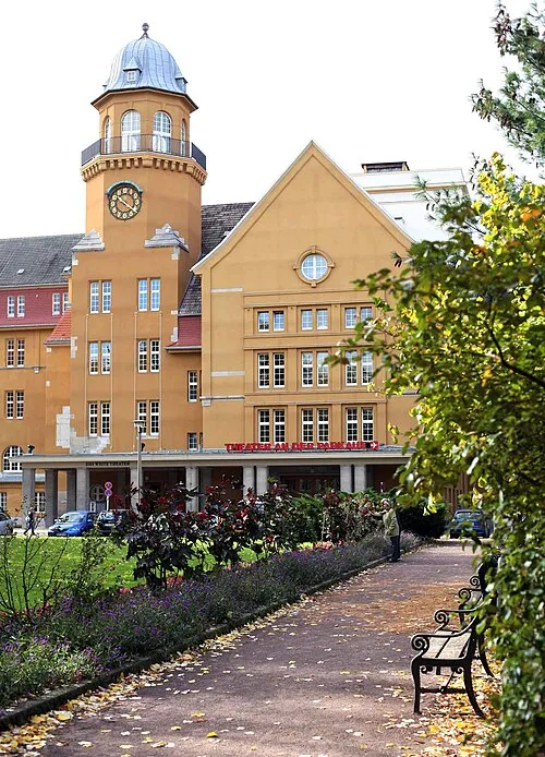 Theater an der Parkaue Attraction, Berlin19 km NW
-
Schloss Köpenick Historic site, Berlin9.7 km W
-
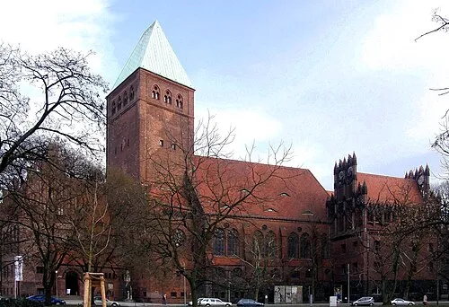 Märkisches Museum Museum, Berlin22 km NW
-
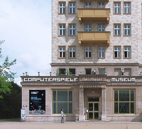 Computer Games Museum Museum, Berlin21 km NW
Sources & licences
Data last updated: