- Elevation
- 97 m
- above sea level
- Local time
- UTC+01:00
- Europe/Berlin · UTC+01:00
- Airports
- BER Berlin Brandenburg Airport23 km
- LEJ Leipzig/Halle Airport134 km
About Havelberg
Havelberg is a mountain. Location: Berlin, Berlin, Stadt. Elevation: 97 m. The best months to visit are June–August. The nearest airport is Berlin Brandenburg Airport (23 km). Nearby sights include Lindwerder and Karlsberg.
Photos of Havelberg
-
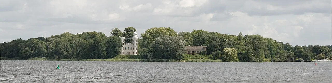
Pfaueninsel E-W · CC BY-SA 3.0 -
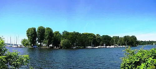
Lindwerder Assenmacher · CC BY-SA 3.0 -
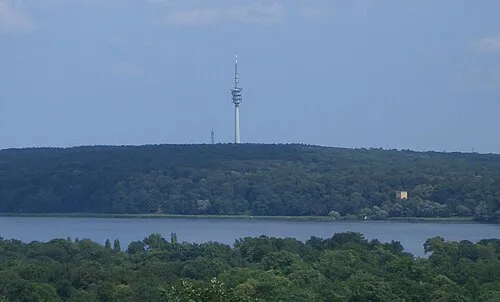
Schäferberg Wladyslaw Sojka · CC BY-SA 3.0 -
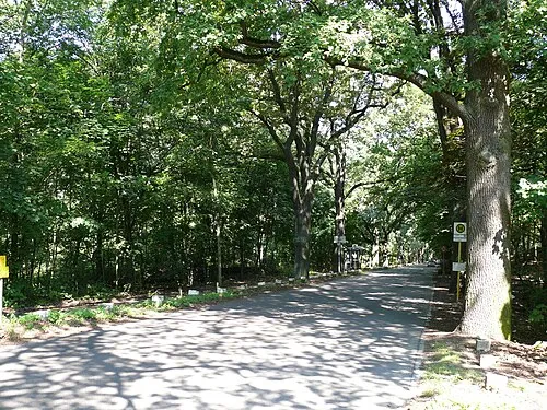
Karlsberg Fridolin freudenfett · CC BY-SA 3.0 -
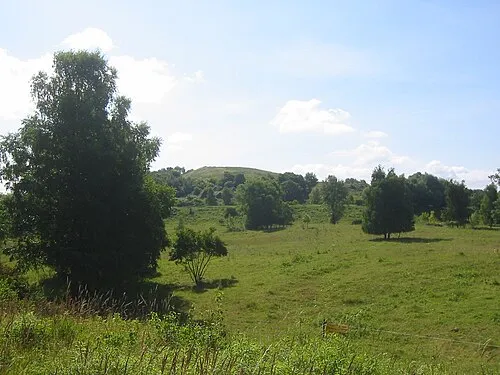
Hahneberg Assenmacher · CC BY-SA 3.0


Climate of Havelberg
Best months for sightseeingBest months for sightseeing: June–August.
This month · November
A cold month
Day 7° · Night 2° · Rain 43 mm
- Hottest month
- July (day 23°)
- Coldest month
- January (night -3°)
- Wettest month
- June (64 mm)
- Driest month
- February (35 mm)
Bars: average monthly low and high temperature. Below: precipitation. Monthly averages for 1970–2000 at about 18 km resolution, adjusted for elevation. Highlighted months are mild and relatively dry. Source: WorldClim 2.1 (CC BY 4.0).
Show values as a table
| Month | Jan | Feb | Mar | Apr | May | Jun | Jul | Aug | Sep | Oct | Nov | Dec |
|---|---|---|---|---|---|---|---|---|---|---|---|---|
| Average high (°C) | 2° | 4° | 8° | 13° | 19° | 21° | 23° | 23° | 18° | 13° | 7° | 4° |
| Average low (°C) | -3° | -2° | 0° | 3° | 8° | 11° | 13° | 13° | 9° | 5° | 2° | -1° |
| Precipitation (mm) | 41 | 35 | 40 | 38 | 51 | 64 | 54 | 58 | 43 | 37 | 43 | 54 |
How to get to Havelberg
The nearest airport is Berlin Brandenburg Airport (BER), 23 km to the southeast as the crow flies. The nearest large city is Potsdam, 12 km to the southwest.
Airports
- Berlin Brandenburg Airport (BER) Berlin 23 kmsoutheast
- Leipzig/Halle Airport (LEJ) Schkeuditz 134 kmsouthwest
- Dresden Airport (DRS) Dresden 153 kmsouth
Nearby large cities
- Potsdam Population: 184.8K 12 kmsouthwest
- Berlin Population: 3.4M 16 kmnortheast
- Magdeburg Population: 244.3K 113 kmwest
- Leipzig Population: 505K 138 kmsouthwest
- Halle Population: 237.9K 138 kmsouthwest
Straight-line distances; road distances are longer. Airport data: OurAirports.
Day trips from Havelberg
Within 100 km: 546 historic and cultural sites, 1,884 natural sites, 1,622 lakes, rivers and coasts.
0–25 km547 places
- Schlachtensee Lake 3 kmSE
- Valentinswerder Island 11 kmN
- Scharfenberg Island 12 kmN
- Freibad Tegelsee Beach 13 kmN
25–60 km1,203 places
- Dahme River River 25 kmE
- Mittelbruch Island 42 kmW
- Buhnenwerder Island 50 kmW
- Werder Island 59 kmN
60–100 km2,302 places
- Strandbad Beach 80 kmNE
- Der Raatz Island 66 kmN
- Großer Horst Island 85 kmN
- Burgwallinsel Island 91 kmNE
Straight-line distances.
Nearest towns and villages
-
 Gatow Neighbourhood, Berlin2.5 km NW
-
 Kladow Neighbourhood, Berlin4 km W
-
 Zehlendorf Neighbourhood, Berlin4.8 km SE
-
 Grunewald Neighbourhood, Berlin4.9 km NE
-
 Nikolassee Neighbourhood, Berlin4.7 km S
-
 Dahlem Neighbourhood, Berlin5.9 km E
Nearby attractions & nature
Everything nearby-
Lindwerder Island, State of Berlin0.8 km NW
-
Karlsberg Mountain, Berlin1.6 km N
-
Berliner Forst Grunewald Natural site, State of Berlin0.8 km SE
-
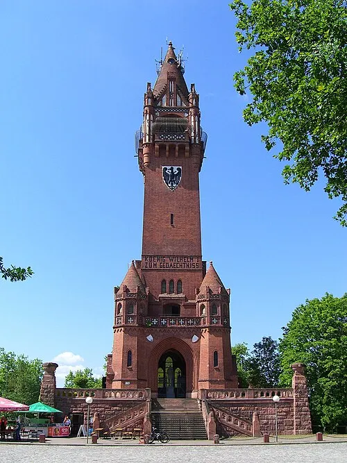 Grunewald Tower Landmark, Berlin1.6 km N
-
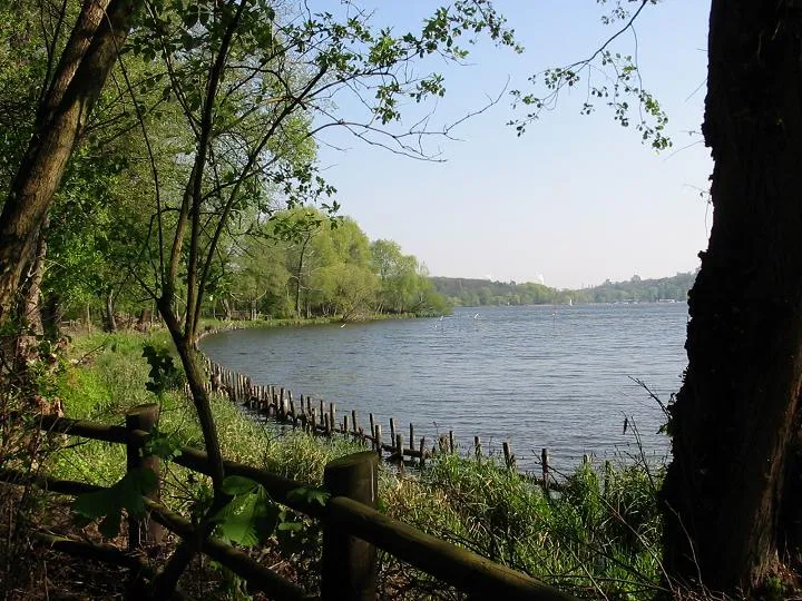 Halbinsel Schildhorn Natural site, State of Berlin3.5 km N
-
Windmühlenberg Mountain, Berlin2.8 km NW
-
Dachsberg Mountain, Berlin2.9 km N
-
Gutspark Neukladow Natural site, Berlin3 km W
More nature in Germany
-
Hahneberg Mountain, Berlin6.9 km NW
-
Schäferberg Mountain, Berlin7.2 km SW
-
Murellenberg Mountain, Berlin6.2 km N
-
Gatower Heide Natural site, Berlin3 km NW
-
Naturschutzgebiet Langes Luch/Dachsheide Natural site, Berlin3.5 km E
-
Teufelsberg Mountain, Berlin4.7 km NE
Sources & licences
Data last updated: