Hoher Berg
Located in Römhild, Landkreis Hildburghausen Coordinates: 50°21′37″ N 10°38′41″ E
- Elevation
- 349 m
- above sea level
- Local time
- UTC+01:00
- Europe/Berlin · UTC+01:00
About Hoher Berg
Hoher Berg is a mountain. Location: Römhild, Landkreis Hildburghausen. Elevation: 349 m.
In comparison
- No. 15317 of 25787 mountains in Germany by elevation
- 83 sights and natural places within 10 km Hexenhügel, Linhartzberg
Nearest towns and villages
-
Gleichamberg Village, Römhild3.5 km W
-
Gleicherwiesen Village, Römhild0.9 km W
-
Simmershausen Village, Römhild1.4 km N
-
Straufhain Village, Landkreis Hildburghausen4.2 km E
-
Schlechtsart Village, Schlechtsart3.9 km SW
-
Schlechtsart Village, Landkreis Hildburghausen4.2 km SW
Nearby attractions & nature
Everything nearby-
Hexenhügel Mountain, Straufhain1.5 km S
-
Linhartzberg Mountain, Römhild2.6 km NW
-
Hopfenberg Mountain, Straufhain3.9 km E
-
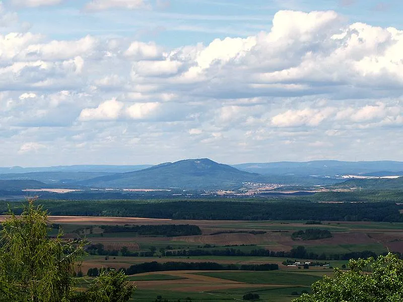 Großer Gleichberg Mountain, Römhild4.9 km NW
-
Steinhag Mountain, Straufhain4.2 km SW
-
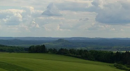 Straufhain Mountain, Bavaria5.5 km SE
-
Röther Kopf Mountain, Römhild4.5 km NW
-
Büchelhag Mountain, Römhild4.9 km SW
More nature in Germany
-
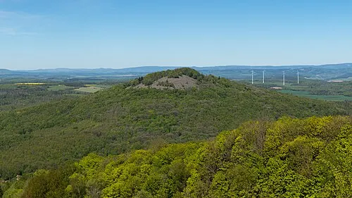 Kleiner Gleichberg Mountain, Römhild6.8 km NW
-
Kleeberg Mountain, Römhild5.4 km NW
-
Hartenburg Mountain, Römhild7.1 km NW
-
Linkberg Mountain, Römhild7.6 km N
-
Schäferberg Mountain, Römhild7.9 km NW
-
Schwabhäuser Berg Mountain, Römhild9.1 km NW
Sources & licences
Data last updated: · 2 independent sources