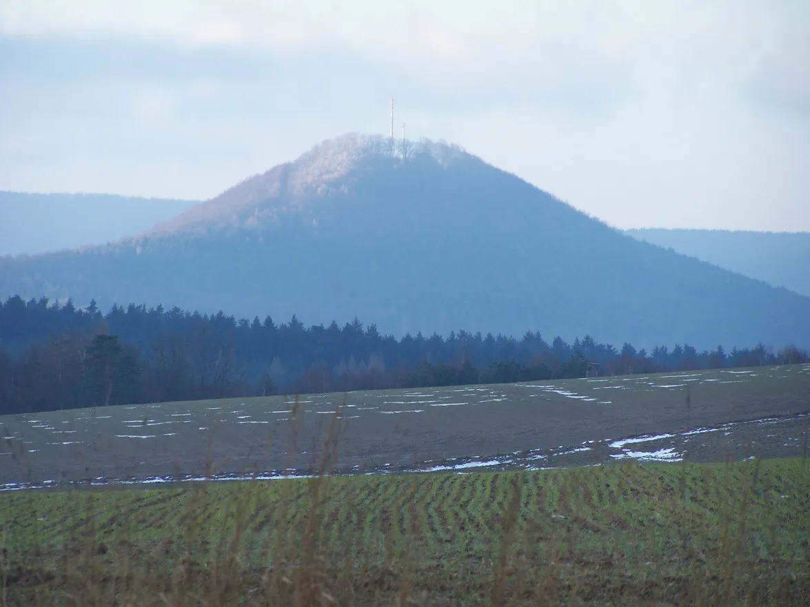
- Elevation
- 420 m
- above sea level
- Local time
- UTC+01:00
- Europe/Berlin · UTC+01:00
- Airports
- ERF Erfurt-Weimar Airport61 km
- KSF Kassel Airport83 km
About Kraynberg
Kraynberg is a mountain. Location: Bad Salzungen, Wartburgkreis. Elevation: 420 m.
The Krayenberg (German pronunciation: [ˈkʁaɪənˌbɛʁk]) is a 431-metre (1,414 ft) hill near Tiefenort, Germany. Since 500 BCE it was a rampart and served as a refuge for the central part of the Werratal. It became important for German history due to the Krayenburg, which was built on its top after 786, and destroyed starting with the Thirty Years' War. Today, the well-maintained ruins, a restaurant and a hotel define a tourist location in the Werratal.
Source: Wikipedia · CC BY-SA 4.0
At a glance
- Topographic prominence
- 149 m
Source: Wikidata
Photos of Kraynberg
-
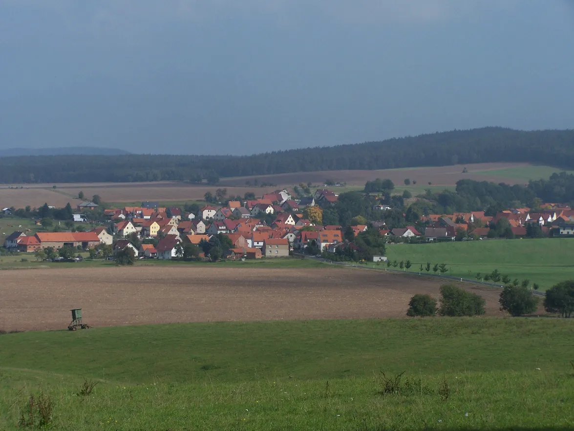
Landerskopf Metilsteiner · CC BY-SA 3.0 -
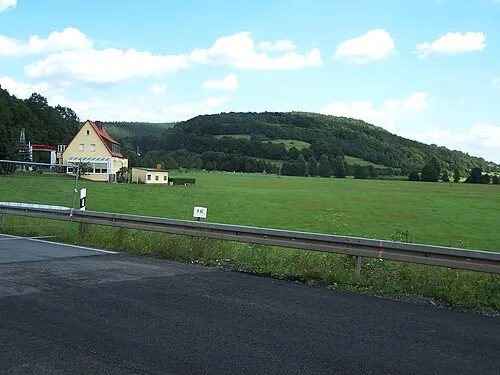
Eichkopf Metilsteiner · CC BY 3.0 -
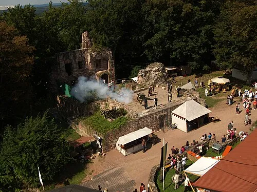
Krayenburg Jens Murer · CC BY-SA 3.0


Climate of Kraynberg
Best months for sightseeingBest months for sightseeing: June–August.
This month · November
A cold month
Day 6° · Night 0° · Rain 60 mm
- Hottest month
- July (day 22°)
- Coldest month
- February (night -4°)
- Wettest month
- July (74 mm)
- Driest month
- February (45 mm)
Bars: average monthly low and high temperature. Below: precipitation. Monthly averages for 1970–2000 at about 18 km resolution, adjusted for elevation. Highlighted months are mild and relatively dry. Source: WorldClim 2.1 (CC BY 4.0).
Show values as a table
| Month | Jan | Feb | Mar | Apr | May | Jun | Jul | Aug | Sep | Oct | Nov | Dec |
|---|---|---|---|---|---|---|---|---|---|---|---|---|
| Average high (°C) | 2° | 3° | 7° | 12° | 17° | 20° | 22° | 22° | 17° | 12° | 6° | 3° |
| Average low (°C) | -3° | -4° | -1° | 2° | 6° | 9° | 11° | 11° | 8° | 4° | 0° | -2° |
| Precipitation (mm) | 55 | 45 | 55 | 48 | 63 | 71 | 74 | 57 | 57 | 55 | 60 | 67 |
How to get to Kraynberg
The nearest airport is Erfurt-Weimar Airport (ERF), 61 km to the east as the crow flies. The nearest large city is Erfurt, 66 km to the east.
Airports
- Erfurt-Weimar Airport (ERF) Erfurt 61 kmeast
- Kassel Airport (KSF) Calden 83 kmnorthwest
- Paderborn Lippstadt Airport (PAD) Büren 136 kmnorthwest
Nearby large cities
- Erfurt Population: 218.8K 66 kmeast
- Kassel Population: 197.2K 69 kmnorthwest
- Göttingen Population: 122.1K 79 kmnorth
- Jena Population: 104.7K 103 kmeast
- Würzburg Population: 133.7K 117 kmsouth
Straight-line distances; road distances are longer. Airport data: OurAirports.
Day trips from Kraynberg
Within 100 km: 624 historic and cultural sites, 5,415 natural sites, 765 lakes, rivers and coasts.
0–25 km504 places
- Felda River 3 kmW
- Schönsee Lake 11 kmSE
- Kutte Lake 13 kmS
- Hautsee Lake 6 kmNE
25–60 km2,147 places
- Frieda River 39 kmN
- Eitra River 28 kmW
- Unterer Metzenweiher Lake 39 kmSW
- Sieblebener Teich Lake 46 kmE
60–100 km4,153 places
- Buchenwald concentration camp Historic site 81 kmE
- Wande River 96 kmNW
- Erpe River 96 kmNW
- Felda River 77 kmW
Straight-line distances.
Nearest towns and villages
-
Tiefenort Village, Bad Salzungen2.6 km E
-
Krayenberggemeinde Village, Wartburgkreis2.3 km W
-
Dorndorf Village, Krayenberggemeinde2.8 km W
-
 Kieselbach Village, Krayenberggemeinde0.7 km NW
-
Frauensee Village, Bad Salzungen4.7 km N
-
Merkers Village, Krayenberggemeinde1.8 km SW
Nearby attractions & nature
Everything nearby-
Krayenburg Historic site, Bad Salzungen<0.1 km E
-
Eichkopf Mountain, Krayenberggemeinde2 km NW
-
Hechberg Mountain, Krayenberggemeinde1.7 km NW
-
Salzunger Berg Mountain, Krayenberggemeinde3 km SW
-
Sperlingsberg Mountain, Bad Salzungen3.7 km NE
-
Fürstenberg Mountain, Bad Salzungen4.1 km E
-
Galgenberg Mountain, Dermbach4.2 km S
-
Riesenberg Mountain, Krayenberggemeinde4.7 km SW
More nature in Germany
-
Gelbberg Mountain, Bad Salzungen6.4 km SE
-
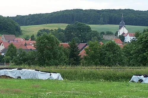 Eichkopf Mountain, Bad Salzungen9.5 km NE
-
Taubertsberg Mountain, Bad Salzungen7 km SE
-
Maselbacher Berg Mountain, Bad Salzungen7.6 km SE
-
Wagnerhöhe Mountain, Bad Salzungen8.5 km E
-
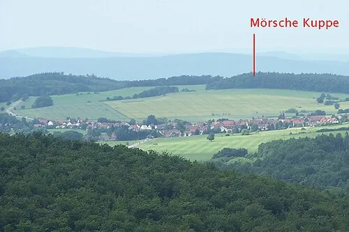 Mörschekuppe Mountain, Bad Salzungen12 km NE
Sources & licences
Data last updated: · 2 independent sources