Wartburg Castle
Local name: Wartburg
Located in Eisenach, Wartburgkreis Coordinates: 50°57′58″ N 10°18′23″ E
- Local time
- UTC+01:00
- Europe/Berlin · UTC+01:00
- Elevation
- 393 m
- above sea level
- Airports
- ERF Erfurt-Weimar Airport46 km
- KSF Kassel Airport81 km
About Wartburg Castle
Wartburg Castle is a historic site. Location: Eisenach, Wartburgkreis.
The Wartburg (German pronunciation: [ˈvaʁtbʊʁk]) is a castle originally built in the Middle Ages. At an elevation of 410 metres (1,350 ft) in the state of Thuringia, Germany, it is situated on a southwest-facing precipice and overlooks the town of Eisenach to the north. It was the home of St. Elisabeth of Hungary, the place where Martin Luther translated the New Testament of the Bible into German, the site of the Wartburg festival of 1817 and the supposed setting for the possibly legendary Sängerkrieg.
Source: Wikipedia · CC BY-SA 4.0
At a glance
- Built
- 1067
- Architectural style
- Romanesque architecture
- Heritage designation
- World Heritage Site
- Visitors per year
- 480,804 (2024)
- Official website
- wartburg.de
Source: Wikidata
Photos of Wartburg Castle
-
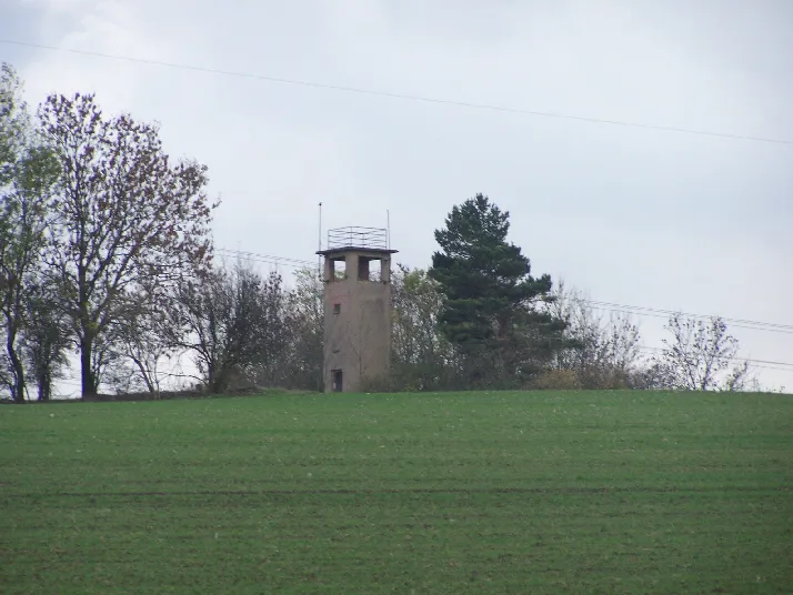
Tellberg Metilsteiner · CC BY-SA 3.0 -
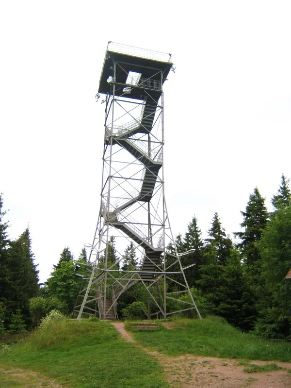
Ringberg SehLax · CC BY-SA 3.0 -
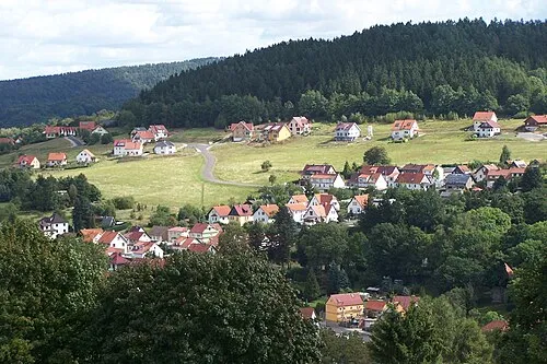
Rehberg Metilsteiner · CC BY 3.0 -
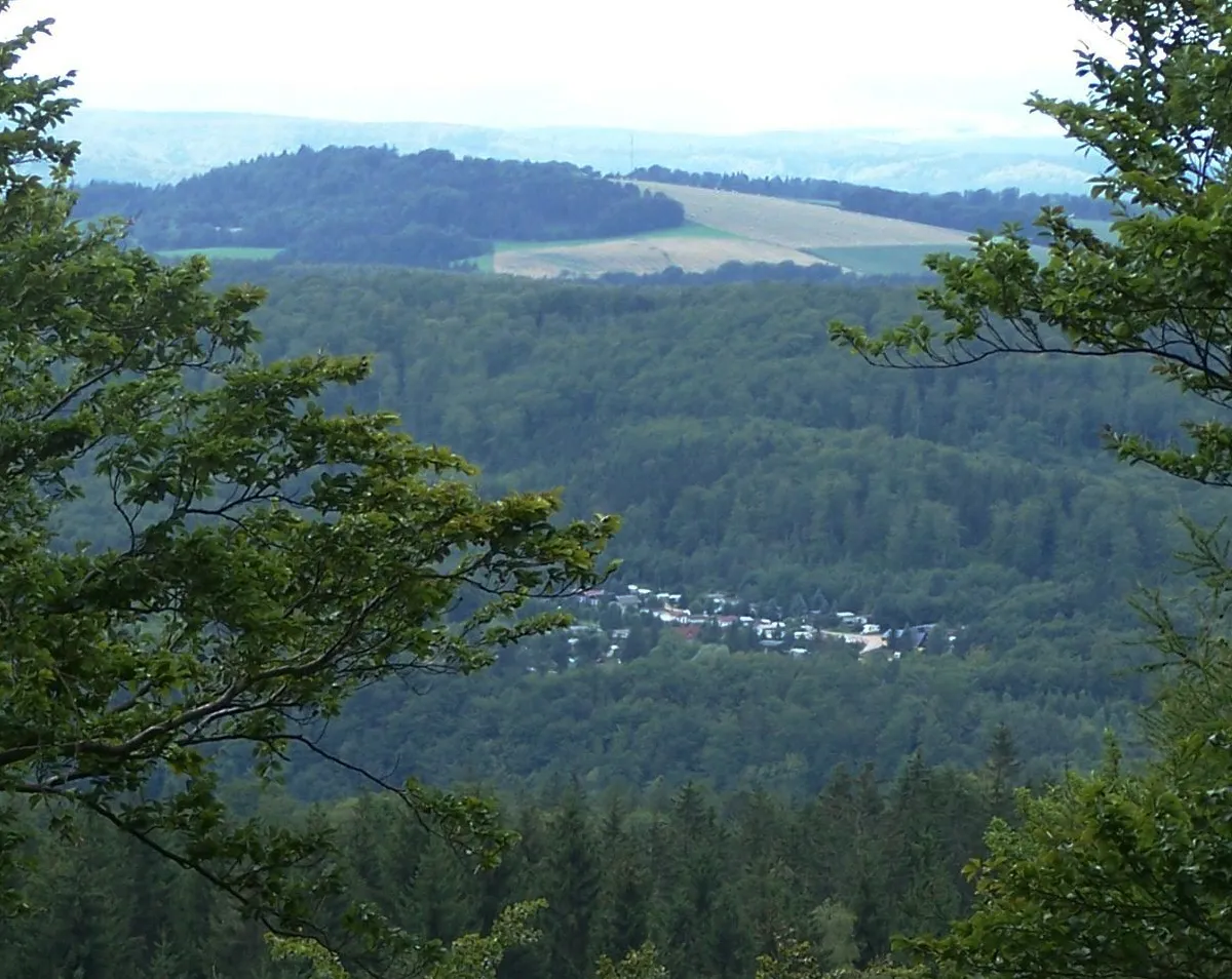
Milmesberg Metilsteiner · CC BY 3.0 -
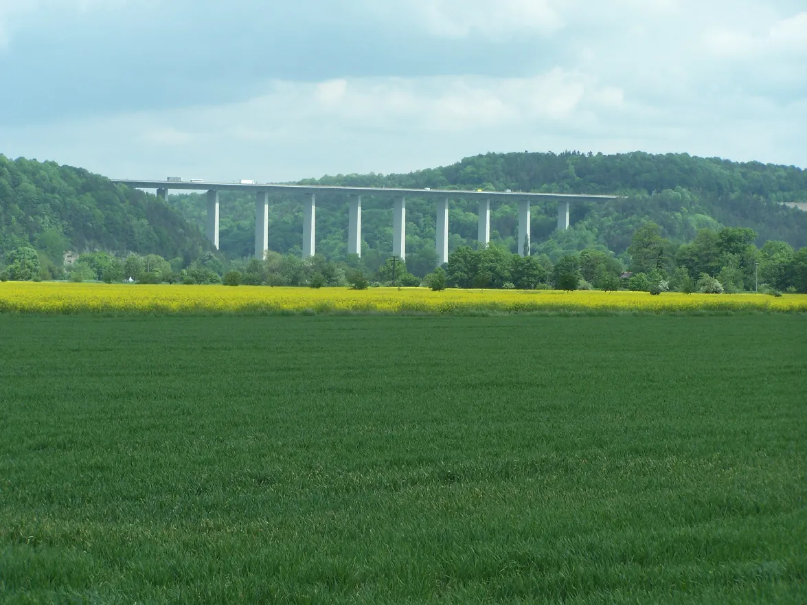
Hörschelberg Metilsteiner · CC BY-SA 3.0


Climate of Wartburg Castle
Best months for sightseeingBest months for sightseeing: June–August.
This month · November
A cold month
Day 6° · Night 1° · Rain 64 mm
- Hottest month
- July (day 22°)
- Coldest month
- February (night -3°)
- Wettest month
- July (79 mm)
- Driest month
- February (49 mm)
Bars: average monthly low and high temperature. Below: precipitation. Monthly averages for 1970–2000 at about 18 km resolution, adjusted for elevation. Highlighted months are mild and relatively dry. Source: WorldClim 2.1 (CC BY 4.0).
Show values as a table
| Month | Jan | Feb | Mar | Apr | May | Jun | Jul | Aug | Sep | Oct | Nov | Dec |
|---|---|---|---|---|---|---|---|---|---|---|---|---|
| Average high (°C) | 2° | 3° | 7° | 12° | 17° | 20° | 22° | 22° | 17° | 12° | 6° | 3° |
| Average low (°C) | -3° | -3° | 0° | 2° | 7° | 10° | 11° | 11° | 8° | 4° | 1° | -2° |
| Precipitation (mm) | 59 | 49 | 59 | 49 | 65 | 70 | 79 | 61 | 61 | 56 | 64 | 72 |
How to get to Wartburg Castle
The nearest airport is Erfurt-Weimar Airport (ERF), 46 km to the east as the crow flies. The nearest large city is Erfurt, 51 km to the east.
Airports
- Erfurt-Weimar Airport (ERF) Erfurt 46 kmeast
- Kassel Airport (KSF) Calden 81 kmnorthwest
- Paderborn Lippstadt Airport (PAD) Büren 138 kmnorthwest
Nearby large cities
- Erfurt Population: 218.8K 51 kmeast
- Göttingen Population: 122.1K 68 kmnorth
- Kassel Population: 197.2K 69 kmnorthwest
- Jena Population: 104.7K 90 kmeast
- Gera Population: 104.7K 125 kmeast
Straight-line distances; road distances are longer. Airport data: OurAirports.
Day trips from Wartburg Castle
Within 100 km: 514 historic and cultural sites, 5,383 natural sites, 790 lakes, rivers and coasts.
0–25 km527 places
- Felda River 21 kmSW
- Hautsee Lake 13 kmSW
- Zwickelsberg Mountain 16 kmN
- Zögelsberg Mountain 21 kmS
25–60 km2,049 places
- Frieda River 28 kmNW
- Eitra River 44 kmSW
- Unterer Metzenweiher Lake 58 kmSW
- Sieblebener Teich Lake 33 kmE
60–100 km4,111 places
- Buchenwald concentration camp Historic site 66 kmE
- Wande River 97 kmNW
- Erpe River 97 kmNW
- Schalk River 97 kmN
Straight-line distances.
Nearby attractions & nature
Everything nearby-
Madelstein Mountain, Eisenach0.5 km W
-
Eisenach Thüringer Museum Museum, Eisenach1.4 km NE
-
Federkopf Mountain, Eisenach1.6 km W
-
Aschburg Mountain, Eisenach1.9 km S
-
Wolfsrück Mountain, Eisenach2.4 km SW
-
Göpelskuppe Mountain, Eisenach2.2 km E
-
Bismarckhütte Concentration Camp Historic site, Eisenach3.1 km NE
-
Kleiner Reihersberg Mountain, Eisenach3.1 km E
Nearest towns and villages
-
Eisenach Town, Eisenach1.7 km N
-
Ehrensteig Village, Eisenach0.5 km W
-
Marienhöhe Village, Eisenach1.9 km E
-
Wolfsburg-Unkeroda Village, Gerstungen4.6 km SW
Sources & licences
Data last updated: · 2 independent sources