Am Ettersberg
Located in Weimarer Land, Thuringia Coordinates: 51°03′46″ N 11°17′57″ E
- Population
- 7,010
- 7K
- Elevation
- 213 m
- above sea level
- Local time
- UTC+01:00
- Europe/Berlin · UTC+01:00
- Places inside
- 26
- listed under Am Ettersberg
About Am Ettersberg
Am Ettersberg is a village. Location: Weimarer Land, Thuringia. Population: 7,010. Elevation: 213 m.
In comparison
- No. 4 of 38 places in Weimarer Land by population
- Nearest larger town: Weimar, 9 km S
- 46 sights and natural places within 10 km Fuchshügel, Rabenbach
- Listed here: Neighbourhood: 10, Village: 10, Mountain: 4, Historic site: 2
Places in Am Ettersberg
26 places-
Berlstedt Neighbourhood1.7K
-
Buttelstedt Village1.4K
-
Großobringen Neighbourhood860
-
Vippachedelhausen Neighbourhood631
-
Wohlsborn Neighbourhood512
-
Krautheim Neighbourhood489
-
Sachsenhausen Neighbourhood393
-
Schwerstedt Neighbourhood377
-
Ramsla Neighbourhood323
-
Heichelheim Neighbourhood308
-
Kleinobringen Neighbourhood288
-
Daasdorf Village245
-
Hottelstedt Village204
-
Berlstedt Concentration Camp Historic site
-
Buttelstedt Concentration Camp Historic site
-
Fuchshügel Mountain
-
Giebelsberg Mountain
-
Haindorf Village
-
Heyeberg Mountain
-
Nermsdorf Village
-
Ottmannshausen Village
-
Schnauderhainichen Village
-
Stedten am Ettersberg Village
-
Thalborn Village
-
Weiden Village
-
Weißer Berg Mountain
Nearby attractions & nature
Everything nearby-
Rabenbach River, Thuringia3.1 km NE
-
Ellbach River, Thuringia3.2 km NW
-
Buchenwald concentration camp Historic site, Weimar5.7 km SW
-
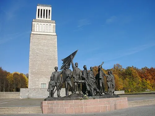 Buchenwald Concentration Camp Historic site, Weimar5.7 km SW
-
Sandberg Mountain, Neumark6.2 km NW
-
Forst Ettersburg Natural site, Thuringia5.6 km SW
Sources & licences
Data last updated: