- Population
- 1,255
- 1.3K
- Elevation
- 20 m
- above sea level
- Local time
- UTC+02:00
- Europe/Athens · UTC+02:00
- Airports
- ATH Athens Eleftherios Venizelos International Airport31 km
- JSI Skiathos Island National Airport130 km
About Skaramagkas
Skaramagkas is a village. Location: Chaidari, Nomarchía Athínas. Population: 1,255. Elevation: 20 m. The best months to visit are April–May, October. The nearest airport is Athens Eleftherios Venizelos International Airport (31 km). Nearby sights include Chaidari Transit Camp and Karaiskakis Stadium.
Photos of Skaramagkas
-
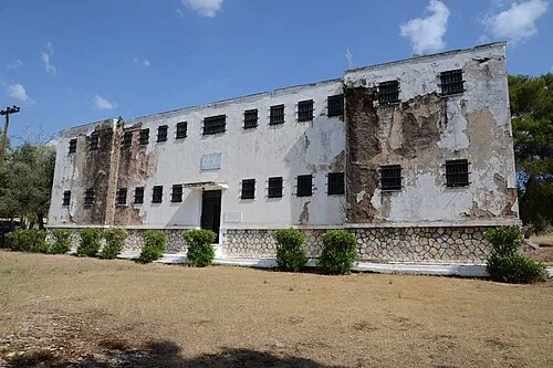
Chaidari Transit Camp Ioannis Michopoulos / Municipality of Haidari · CC BY-SA 3.0

Climate of Skaramagkas
Best months for sightseeingBest months for sightseeing: April–May, October.
This month · November
Outside the best season
Day 18° · Night 10° · Rain 66 mm
- Hottest month
- July (day 33°)
- Coldest month
- January (night 6°)
- Wettest month
- December (82 mm)
- Driest month
- July (8 mm)
Bars: average monthly low and high temperature. Below: precipitation. Monthly averages for 1970–2000 at about 18 km resolution, adjusted for elevation. Highlighted months are mild and relatively dry. Source: WorldClim 2.1 (CC BY 4.0).
Show values as a table
| Month | Jan | Feb | Mar | Apr | May | Jun | Jul | Aug | Sep | Oct | Nov | Dec |
|---|---|---|---|---|---|---|---|---|---|---|---|---|
| Average high (°C) | 13° | 13° | 16° | 20° | 26° | 31° | 33° | 33° | 29° | 23° | 18° | 14° |
| Average low (°C) | 6° | 6° | 7° | 11° | 15° | 19° | 22° | 22° | 19° | 14° | 10° | 8° |
| Precipitation (mm) | 62 | 60 | 59 | 37 | 23 | 13 | 8 | 10 | 15 | 54 | 66 | 82 |
How to get to Skaramagkas
The nearest airport is Athens Eleftherios Venizelos International Airport (ATH), 31 km to the east as the crow flies. The nearest large city is Piraeus, 9 km to the southeast.
Airports
- Athens Eleftherios Venizelos International Airport (ATH) Spata-Artemida 31 kmeast
- Skiathos Island National Airport (JSI) Skiathos 130 kmnorth
- Nea Anchialos National Airport (VOL) Nea Anchialos 151 kmnorthwest
Nearby large cities
- Piraeus Population: 163.7K 9 kmsoutheast
- Athens Population: 664K 11 kmeast
- Çiğli Population: 214.1K 308 kmeast
- Konak Population: 332.3K 309 kmeast
- Cordaleo Population: 339.6K 311 kmeast
Straight-line distances; road distances are longer. Airport data: OurAirports.
Day trips from Skaramagkas
Within 100 km: 32 historic and cultural sites, 4 natural sites, 33 lakes, rivers and coasts.
0–25 km19 places
- Pnyx Mountain 11 kmSE
- Moní Chrysovalántou Attraction 17 kmNE
- Agia Fotini Attraction 12 kmSE
- Kerameikos Historic site 11 kmE
25–60 km21 places
- Agistri Island 42 kmSW
- Moní Agíou Ierothéou Attraction 29 kmW
- Makrónisos Island 25 kmSW
- Galenthi Island 60 kmS
60–100 km29 places
- Euboea Island 64 kmNE
- Moní Agíon Pánton Attraction 93 kmSW
- Moní Metamorfóseos Sotíros Attraction 85 kmNE
- Moni Mantzari Attraction 78 kmNE
Straight-line distances.
Nearby attractions & nature
Everything nearby-
Chaidari Transit Camp Historic site, Chaidari5.4 km E
-
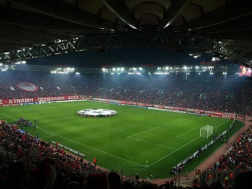 Karaiskakis Stadium Landmark, Piraeus9 km SE
-
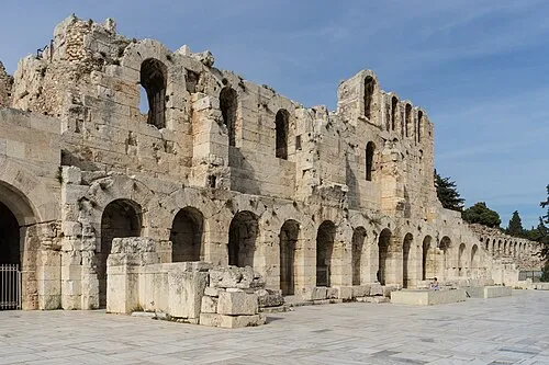 Odeon of Herodes Atticus Historic site, Athens12 km SE
-
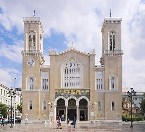 Metropolitan Cathedral of Athens Attraction, Athens12 km E
-
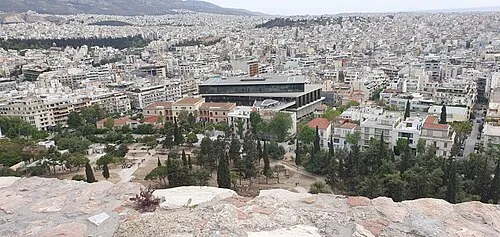 Acropolis Museum Museum, Athens12 km SE
-
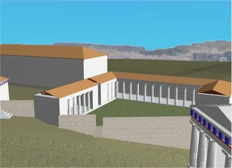 Sanctuary of Artemis Brauronia Historic site, Athens12 km E
Sources & licences
Data last updated: