Keratsini
Local name: Κερατσίνι
Located in Keratsini-Drapetsona, Nomós Piraiós Coordinates: 37°57′45″ N 23°37′11″ E
- Population
- 77,077
- 77.1K
- Elevation
- 40 m
- above sea level
- Local time
- UTC+02:00
- Europe/Athens · UTC+02:00
- Airports
- ATH Athens Eleftherios Venizelos International Airport29 km
- JSI Skiathos Island National Airport135 km
About Keratsini
Keratsini is a town. Location: Keratsini-Drapetsona, Nomós Piraiós. Population: 77,077. Elevation: 40 m.
Keratsini (Greek: Κερατσίνι) is a suburban town in the western part of the Piraeus regional unit, which in turn is a part of the Athens Urban Area. Since the 2011 local government reform it is part of the municipality Keratsini-Drapetsona, of which it is the seat and a municipal unit.
Source: Wikipedia · CC BY-SA 4.0
Photos of Keratsini
-
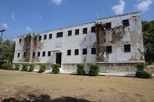
Chaidari Transit Camp Ioannis Michopoulos / Municipality of Haidari · CC BY-SA 3.0 -
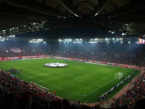
Karaiskakis Stadium TodorBozhinov · CC BY-SA 3.0


Places bordering Keratsini
- Drapetsona
Twin towns and sister cities of Keratsini
- Prešov· Slovakia
Source: Wikidata. Only places with a page on this site are shown.
Population of Keratsini over time
| 1951 | 39,734 | |
|---|---|---|
| 1991 | 73,265 | |
| 2001 | 78,474 | |
| 2011 | 77,077 | |
| 2021 | 75,721 |
Censuses and official estimates; source: Wikidata.
Climate of Keratsini
Best months for sightseeingBest months for sightseeing: April–May, October.
This month · November
Outside the best season
Day 18° · Night 11° · Rain 63 mm
- Hottest month
- July (day 32°)
- Coldest month
- January (night 7°)
- Wettest month
- December (71 mm)
- Driest month
- July (7 mm)
Bars: average monthly low and high temperature. Below: precipitation. Monthly averages for 1970–2000 at about 18 km resolution, adjusted for elevation. Highlighted months are mild and relatively dry. Source: WorldClim 2.1 (CC BY 4.0).
Show values as a table
| Month | Jan | Feb | Mar | Apr | May | Jun | Jul | Aug | Sep | Oct | Nov | Dec |
|---|---|---|---|---|---|---|---|---|---|---|---|---|
| Average high (°C) | 13° | 13° | 15° | 20° | 25° | 30° | 32° | 32° | 28° | 23° | 18° | 14° |
| Average low (°C) | 7° | 7° | 8° | 11° | 15° | 20° | 23° | 22° | 19° | 15° | 11° | 8° |
| Precipitation (mm) | 51 | 52 | 54 | 31 | 18 | 9 | 7 | 8 | 11 | 47 | 63 | 71 |
How to get to Keratsini
The nearest airport is Athens Eleftherios Venizelos International Airport (ATH), 29 km to the east as the crow flies. The nearest large city is Piraeus, 3 km to the southeast.
Airports
- Athens Eleftherios Venizelos International Airport (ATH) Spata-Artemida 29 kmeast
- Skiathos Island National Airport (JSI) Skiathos 135 kmnorth
- Nea Anchialos National Airport (VOL) Nea Anchialos 157 kmnorthwest
Nearby large cities
- Piraeus Population: 163.7K 3 kmsoutheast
- Athens Population: 664K 10 kmeast
- Çiğli Population: 214.1K 308 kmeast
- Konak Population: 332.3K 309 kmeast
- Cordaleo Population: 339.6K 311 kmeast
Straight-line distances; road distances are longer. Airport data: OurAirports.
Day trips from Keratsini
Within 100 km: 32 historic and cultural sites, 4 natural sites, 34 lakes, rivers and coasts.
0–25 km22 places
- Pnyx Mountain 9 kmE
- Makrónisos Island 22 kmSW
- Moní Chrysovalántou Attraction 19 kmNE
- Agia Fotini Attraction 9 kmE
25–60 km21 places
- Agistri Island 38 kmSW
- Moní Agíou Ierothéou Attraction 31 kmW
- Galenthi Island 55 kmS
- Kelevini Islands Island 59 kmS
60–100 km27 places
- Euboea Island 68 kmNE
- Moní Agíon Pánton Attraction 89 kmSW
- Moní Metamorfóseos Sotíros Attraction 89 kmNE
- Moni Mantzari Attraction 81 kmNE
Straight-line distances.
Keratsini and similar cities
Side by side with cities of similar size in the same country: population, elevation and climate.
| Measure | Keratsini | Piraeus |
|---|---|---|
| Population | 77.1K | 163.7K |
| Elevation | 40 m | 29 m |
| Summer day (hottest month) | 32° | 32° |
| Winter night (coldest month) | 7° | 7° |
| Annual rainfall | 422 mm | 422 mm |
| Best months | Apr–May, Oct | Apr–May, Oct |
| Distance | — | 3 km |
Climate values are 1970–2000 monthly averages; straight-line distance.
Nearby attractions & nature
Everything nearby-
Karaiskakis Stadium Landmark, Piraeus4.3 km SE
-
Chaidari Transit Camp Historic site, Chaidari6.2 km NE
-
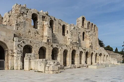 Odeon of Herodes Atticus Historic site, Athens9.3 km E
-
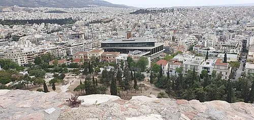 Acropolis Museum Museum, Athens9.6 km E
-
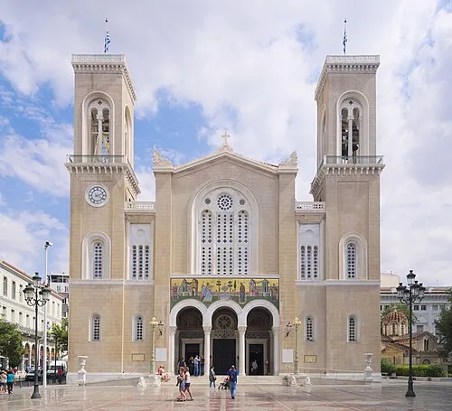 Metropolitan Cathedral of Athens Attraction, Athens9.8 km E
-
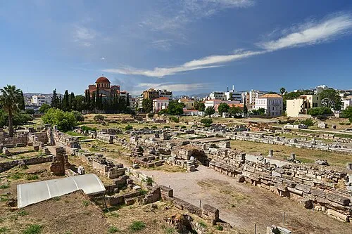 Kerameikos Historic site, Athens8.8 km E
-
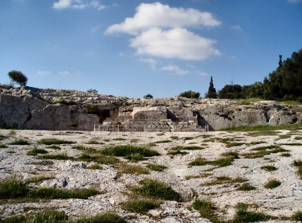 Pnyx Mountain, Athens8.8 km E
-
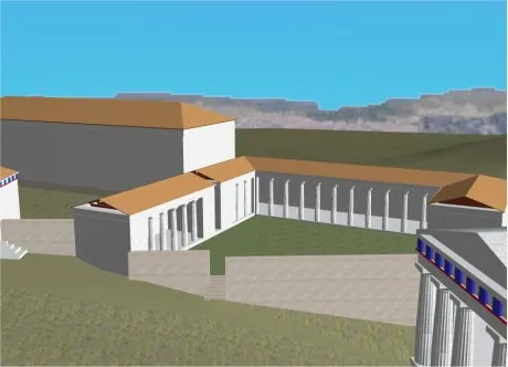 Sanctuary of Artemis Brauronia Historic site, Athens9.3 km E
Sources & licences
Data last updated: · 2 independent sources